Skip to content

Zoning Lookup Guide

  • Privacy Policy
  • About Zoning Lookup Guide
  • Contact
  • Editorial Policy

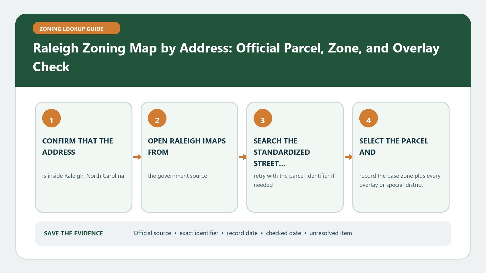
Raleigh Zoning Map by Address: Official Parcel, Zone, and Overlay Check
August 25, 2026August 5, 2026 by Zoning Lookup Guide
Raleigh Zoning Map by Address: Official Parcel, Zone, and Overlay Check verification workflow showing official source, exact identifiers, result fields, date, and escalation step

Raleigh iMAPS can pair a parcel with base district, frontage, height, and overlay fields. Verify the property outline first, since each additional value can change the standards applied.
Categories City Guides

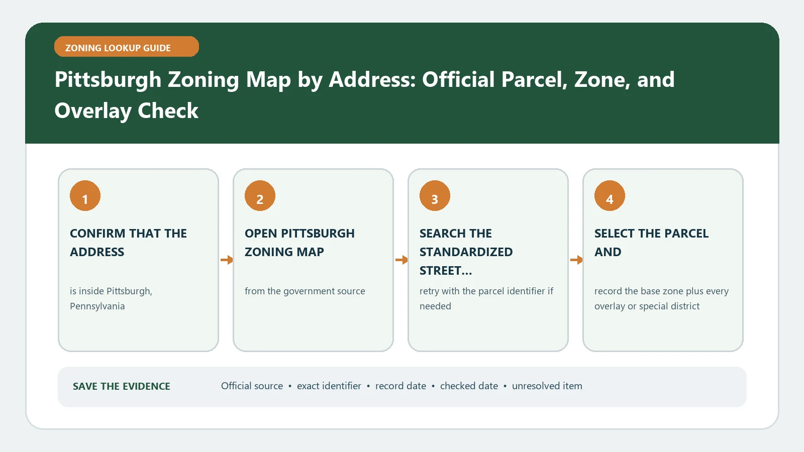
Pittsburgh Zoning Map by Address: Official Parcel, Zone, and Overlay Check

August 25, 2026August 5, 2026 by Zoning Lookup Guide
Pittsburgh Zoning Map by Address: Official Parcel, Zone, and Overlay Check verification workflow showing official source, exact identifiers, result fields, date, and escalation step

Pittsburgh Zoning Map provides the district code, full type, legend, and code link for a selected property. Read the linked rule as it applies to the planned activity instead of treating a legend category as approval.

Categories City Guides

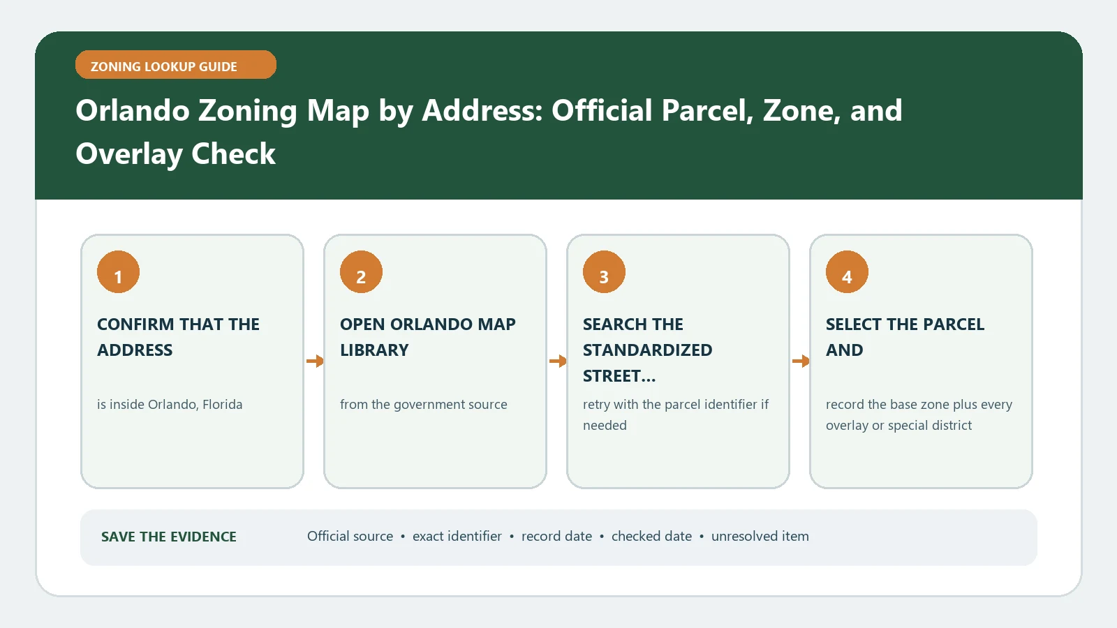
Orlando Zoning Map by Address: Official Parcel, Zone, and Overlay Check

August 25, 2026August 5, 2026 by Zoning Lookup Guide
Orlando Zoning Map by Address: Official Parcel, Zone, and Overlay Check verification workflow showing official source, exact identifiers, result fields, date, and escalation step

Orlando’s Map Library can show a combined zoning code, named development, overlays, and ordinance references. Trace the selected parcel through those linked records before making a site decision.

Categories City Guides

Omaha and Douglas County Zoning Map by Address: Official Parcel, Zone, and Overlay Check

August 25, 2026August 5, 2026 by Zoning Lookup Guide
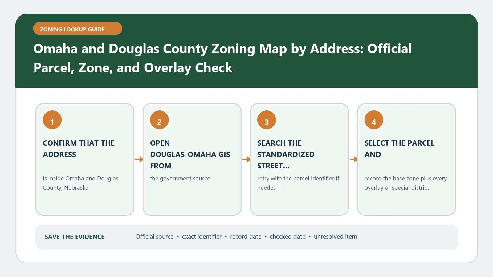
Omaha and Douglas County Zoning Map by Address: Official Parcel, Zone, and Overlay Check verification workflow showing official source, exact identifiers, result fields, date, and escalation step

Douglas–Omaha GIS may return classification, height, PUD, PUR, and a code link for one parcel. Read each applicable field together; a planned-unit label alone cannot answer the proposed-use question.

Categories City Guides

Oklahoma City Zoning Map by Address: Official Parcel, Zone, and Overlay Check

August 25, 2026August 5, 2026 by Zoning Lookup Guide
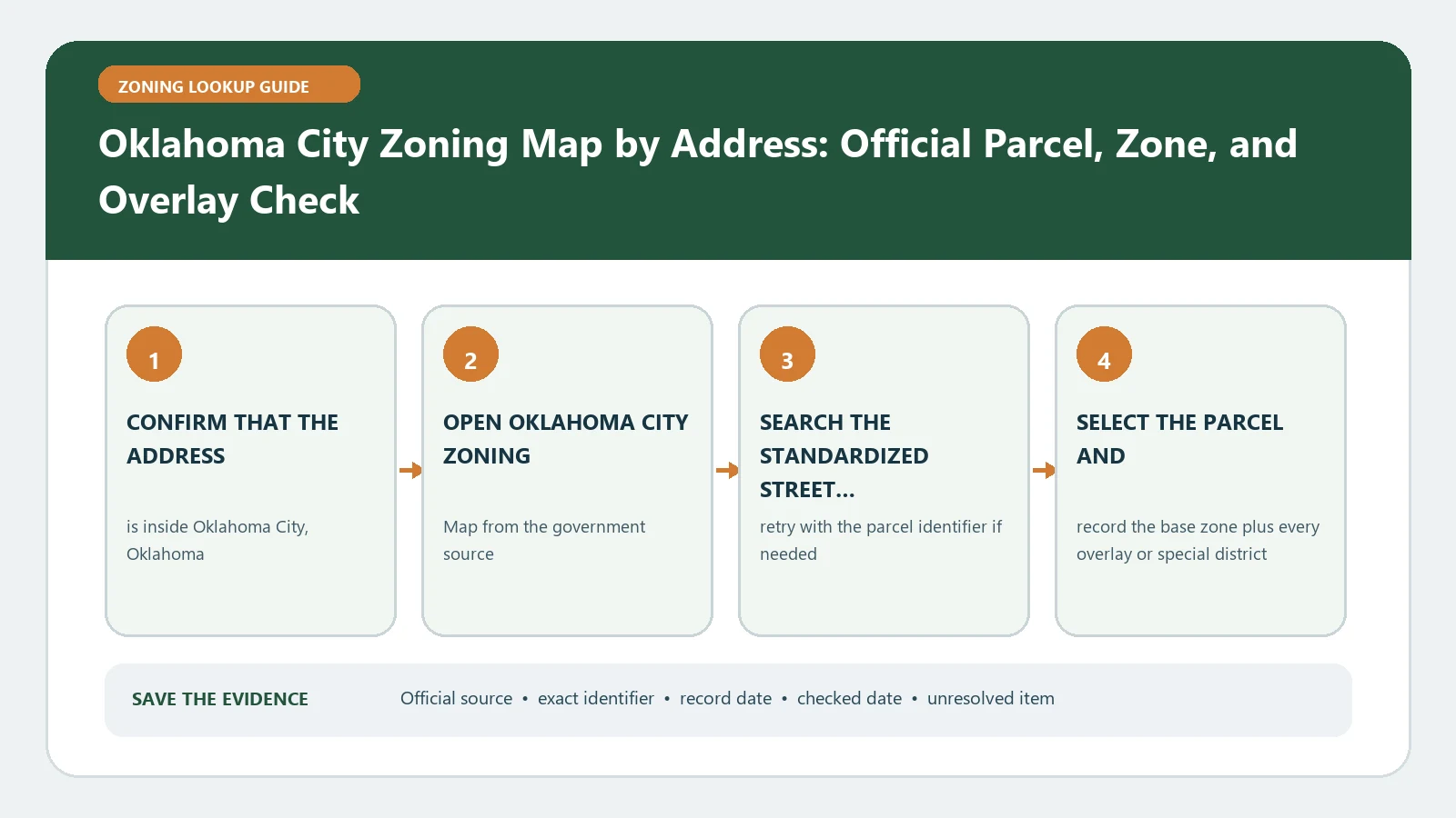
Oklahoma City Zoning Map by Address: Official Parcel, Zone, and Overlay Check verification workflow showing official source, exact identifiers, result fields, date, and escalation step

Oklahoma City’s map distinguishes straight zoning, overlay zoning, and parcels marked as non-zoning. Determine which category covers the selected boundary before opening the corresponding rules.

Categories City Guides

Oakland Zoning Map by Address: Official Parcel, Zone, and Overlay Check

August 31, 2026August 5, 2026 by Zoning Lookup Guide
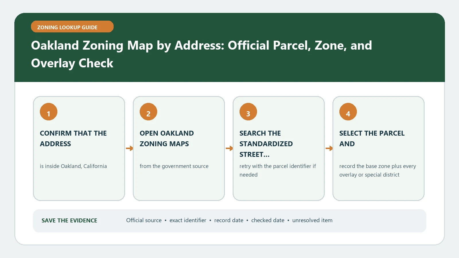
Oakland Zoning Map by Address: Official Parcel, Zone, and Overlay Check verification workflow showing official source, exact identifiers, result fields, date, and escalation step

Oakland’s data exposes BASEZONE, OVERLAY, ORDINANCE, and LASTUPDATE values. Capture the exact parcel row and freshness field, while remembering that these codes do not themselves authorize construction or occupancy.

Categories City Guides

New Orleans Zoning Map by Address: Official Parcel, Zone, and Overlay Check

August 25, 2026August 5, 2026 by Zoning Lookup Guide
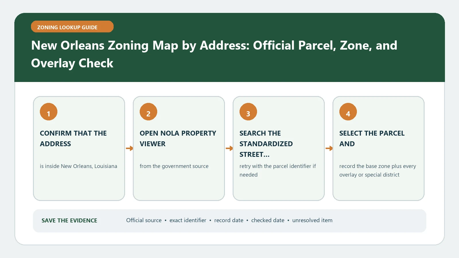
New Orleans Zoning Map by Address: Official Parcel, Zone, and Overlay Check verification workflow showing official source, exact identifiers, result fields, date, and escalation step

NOLA Property Viewer brings together zoning, overlays, inclusionary-zoning areas, FLUM, and case layers. Distinguish future land use from controlling zoning, then inspect any parcel-specific case.

Categories City Guides

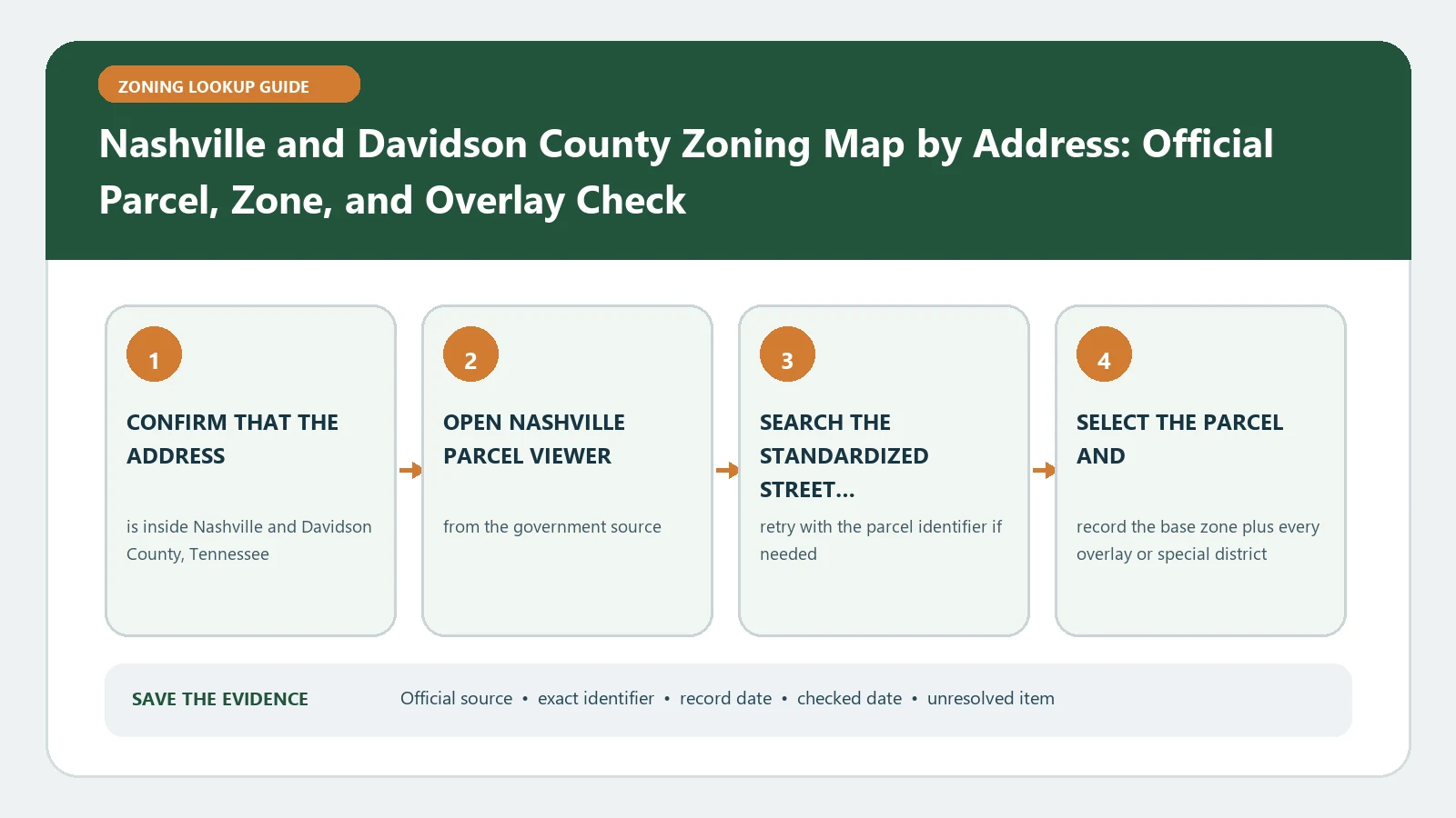
Nashville and Davidson County Zoning Map by Address: Official Parcel, Zone, and Overlay Check

August 25, 2026August 5, 2026 by Zoning Lookup Guide
Nashville and Davidson County Zoning Map by Address: Official Parcel, Zone, and Overlay Check verification workflow showing official source, exact identifiers, result fields, date, and escalation step

Nashville Parcel Viewer can connect a Davidson County address to the parcel and displayed zoning layers. Record the result date and investigate linked cases before treating the screen as current for a proposal.

Categories City Guides

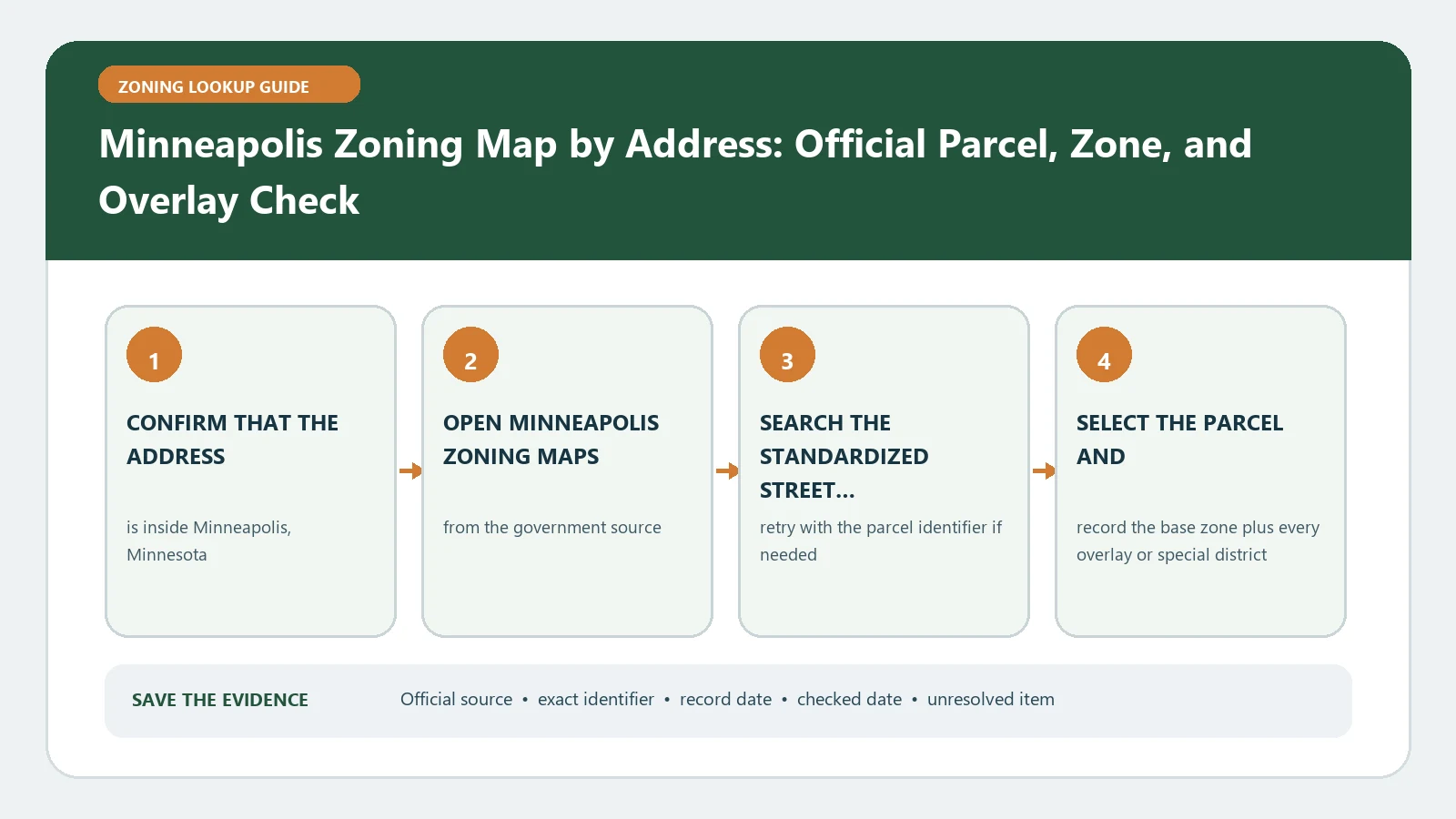
Minneapolis Zoning Map by Address: Official Parcel, Zone, and Overlay Check

August 25, 2026August 5, 2026 by Zoning Lookup Guide
Minneapolis Zoning Map by Address: Official Parcel, Zone, and Overlay Check verification workflow showing official source, exact identifiers, result fields, date, and escalation step

Minneapolis zoning data includes land-use code, RuleID, and overlay name. Preserve all three for the matched parcel so an overlay or separate rule is not lost behind the base label.

Categories City Guides

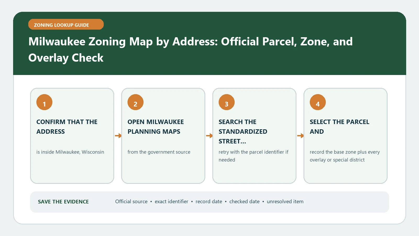
Milwaukee Zoning Map by Address: Official Parcel, Zone, and Overlay Check

August 25, 2026August 5, 2026 by Zoning Lookup Guide
Milwaukee Zoning Map by Address: Official Parcel, Zone, and Overlay Check verification workflow showing official source, exact identifiers, result fields, date, and escalation step

Milwaukee Planning Maps should be checked at the parcel boundary, with the selected district and every visible layer retained. Compare that evidence with the city ordinance before deciding how the property may be used.

Categories City Guides
Older posts
Newer posts
← Previous Page1 … Page7 Page8 Page9 … Page13 Next →

Recent Posts

  • What Zoning Allows RV Living?
  • What Zoning Allows Manufactured or Mobile Homes?
  • Raleigh iMAPS Zoning Records: Base District, Frontage, Height, Overlay, and Parcel
  • Fairfax County Zoning Fields: Zone Code, Proffer, Type, Public Land, Jurisdiction, and Cluster
  • Colorado Springs Zoning Lookup Records: Address, Tax Schedule, Zone District, Use, and Dimensional Standards

Recent Comments

No comments to show.
© 2026 Zoning Lookup Guide • Built with GeneratePress