Raleigh iMAPS Zoning Records: Base District, Frontage, Height, Overlay, and Parcel
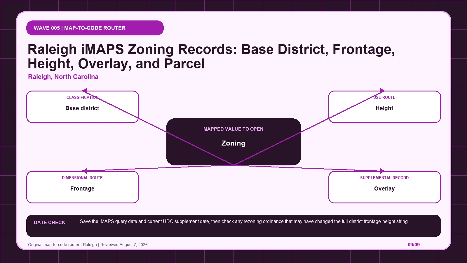
Keep Raleigh’s full iMAPS string intact across base district, height, frontage, and overlay, then tie it to one PIN and the current UDO.
City Guides guides.
Keep Raleigh’s full iMAPS string intact across base district, height, frontage, and overlay, then tie it to one PIN and the current UDO.
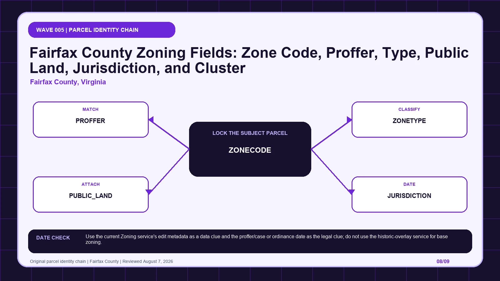
Confirm one Fairfax parcel and jurisdiction in My Neighborhood, then open any proffer, cluster, public-land, or zone-type record flagged by the current layer.
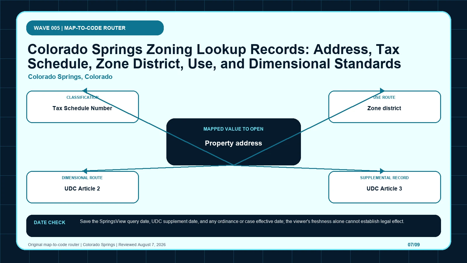
Lock Colorado Springs zoning to one Tax Schedule Number, then route the district through UDC Article 2, Article 3, and any special-purpose rules.
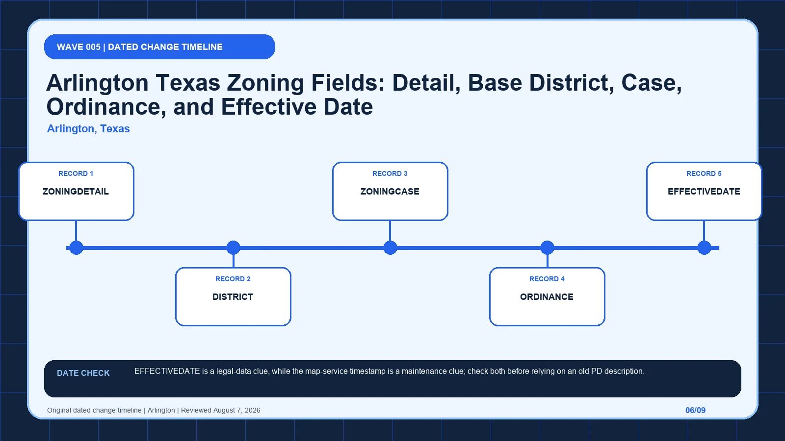
Compare Arlington’s ZONINGDETAIL with DISTRICT, then trace the case, ordinance, effective date, and full PD description behind the displayed result.
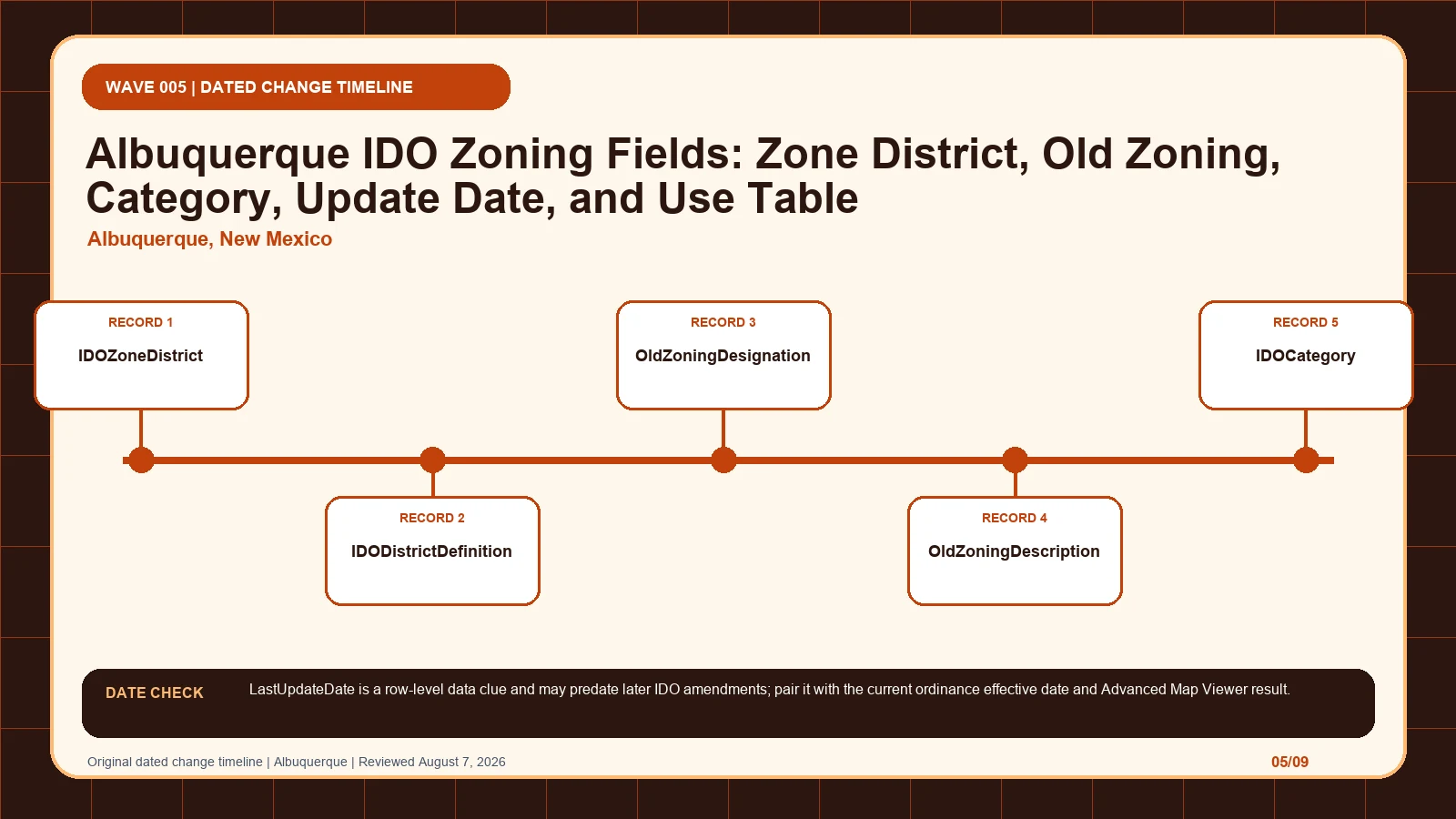
Use Albuquerque’s current IDO district to reach its definition and use table, while keeping the old designation and row date as transition history.
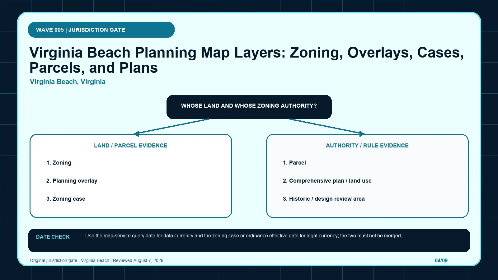
Start with Virginia Beach’s zoning layer, then attach parcel, case, overlay, plan, and design-review records without substituting planning geography.
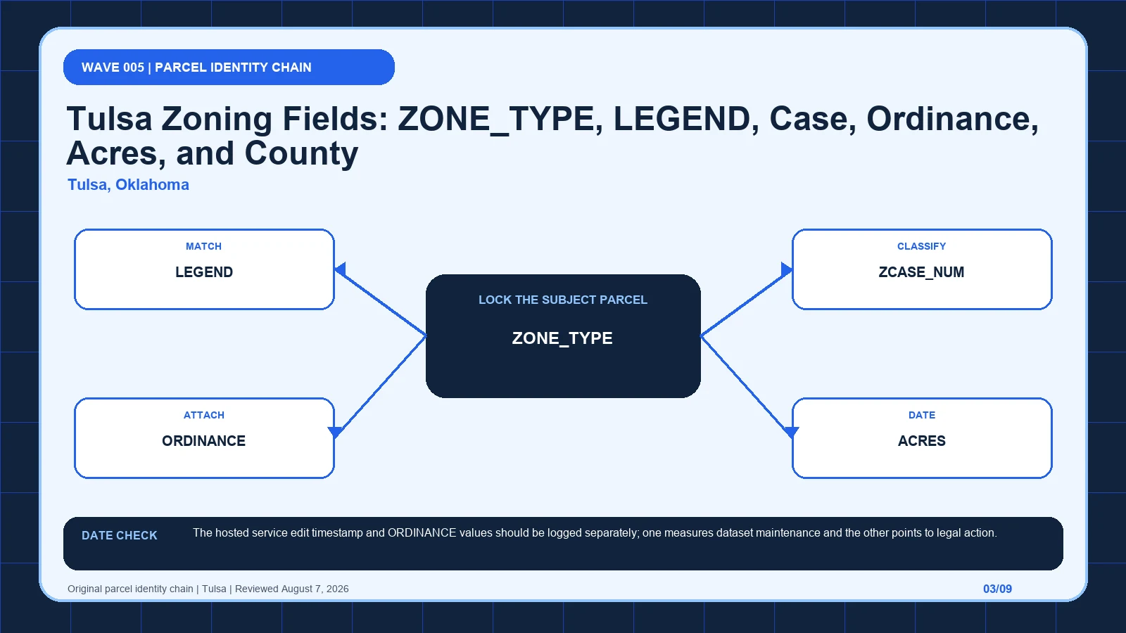
Interpret Tulsa zoning layer fields only after matching the correct parcel; use the address guide first when you still need to locate the property.
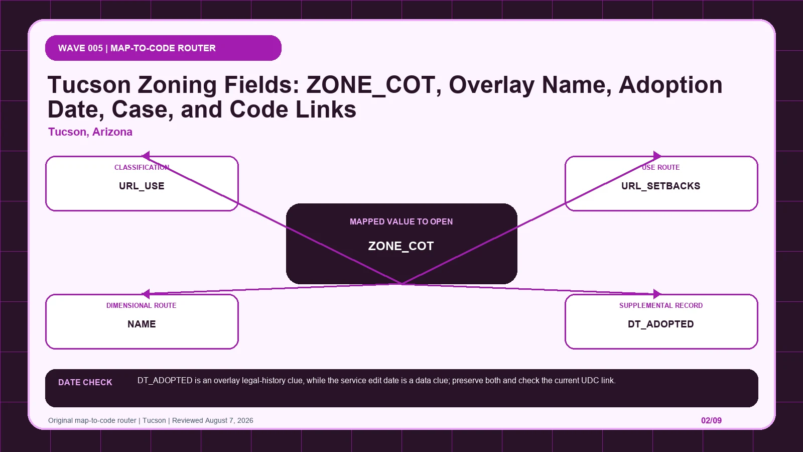
Follow Tucson PublicMaps from ZONE_COT to its direct use and setback links, while keeping overlay adoption dates and originating cases separate.
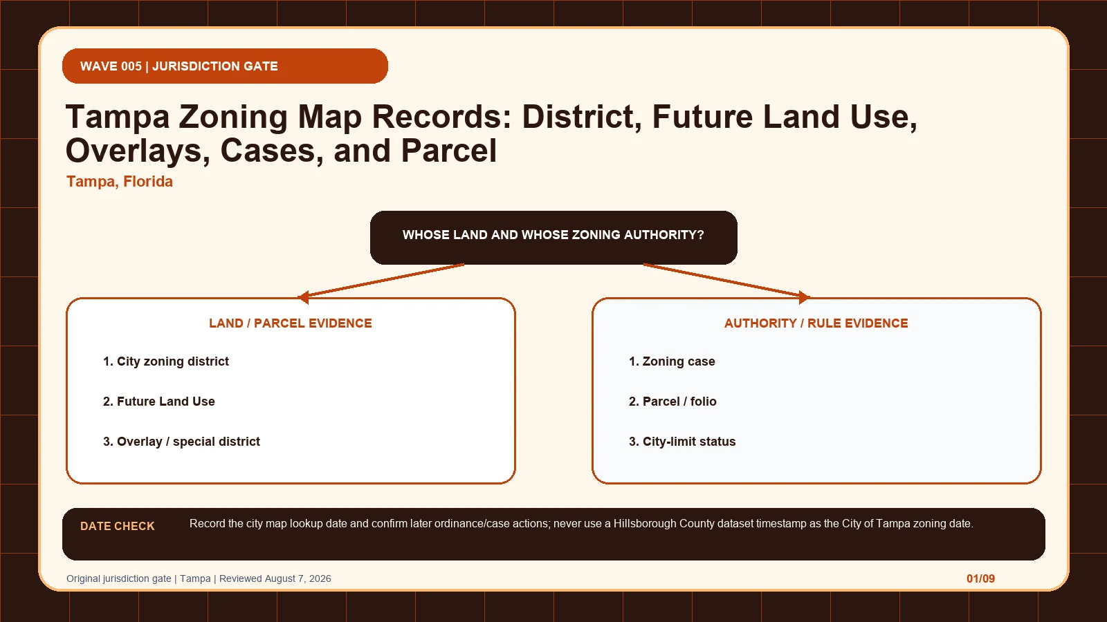
Confirm Tampa city limits from the parcel or folio before separating the city district, Future Land Use, overlays, and zoning-case history.
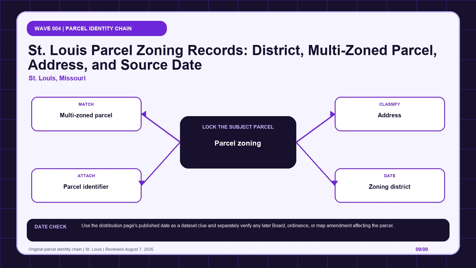
Check whether a St. Louis parcel is multi-zoned, retain every intersecting district and parcel identifier, and compare the dataset date with later actions.