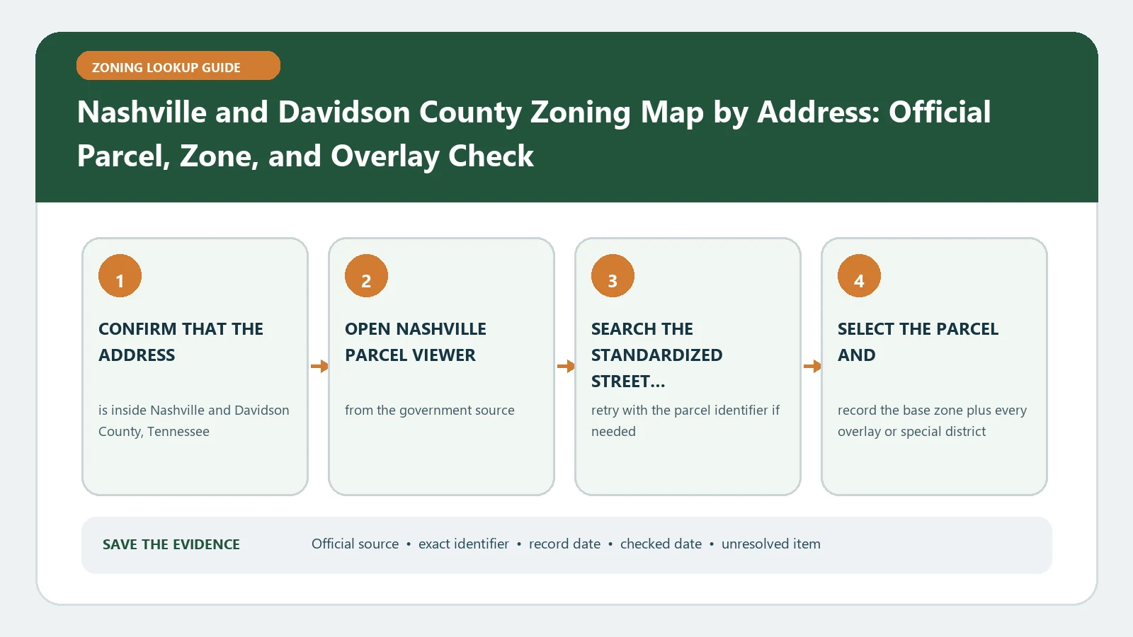
A Nashville and Davidson County zoning lookup is a timeline, not a single code. In Metro Parcel Viewer, search the exact address, parcel number, or owner, select the parcel, and separate zoning entries marked Current from inactive history. Then attach the ordinance or plan behind any SP, PUD, UDO, UZO, conservation, historic, redevelopment, or Downtown layer.
Reviewed August 26, 2026 using Metro's current Parcel Viewer and its official guide to zoning records.
Start a current-versus-history ledger
| Viewer entry | Use in today’s decision | Historical value |
|---|---|---|
| Current base district | Primary district code route | Compare with the prior classification only when history matters |
| Inactive district | Do not treat as current zoning | May lead to rezoning history or a grandfathering question |
| SP or PUD | Open the adopted ordinance/plan | Track amendments and superseded versions |
| Overlay | Apply in addition to the underlying district | Record adoption and later amendment if relevant |
The City’s Understanding the Zoning Code guide instructs users to focus on entries with Current status for new construction while retaining inactive codes for possible history questions. That distinction prevents an older district from silently replacing the code now shown for the parcel.
Match the parcel from three directions
- Address: include direction, street type, and unit only after the root parcel is found.
- Parcel number: compare the selected polygon and property details with the source record.
- Owner: use only to find candidates; ownership can change and is not a zoning identifier.
Open the property detail panel and capture the parcel number, site address, tax district or jurisdiction information, current zoning, zoning history, and any linked property or permit history needed for the question. If one address spans several parcels, repeat the ledger for each parcel.
Translate a normal district through use and bulk tables
For a conventional district, first find the proposed activity in the District Land Use table. Then read the bulk provisions for lot area, height, coverage, yards, and applicable street setbacks. Keep the table row and section citation beside the district code. A residential-looking label does not answer whether a specific commercial activity, accessory structure, or number of units is permitted.
Take a document branch for SP, PUD, and Downtown records
An SP is intentionally site-specific. Open the ordinance linked from the parcel result and identify its purpose, permitted uses, base standards incorporated by reference, exhibits, and amendments. Treat a PUD the same way: the parcel label is an index to an approved plan. Downtown Code and redevelopment-district records can place the property on a separate rule path, so record the responsible authority as well as the label.
| Special result | Document to open | Unresolved warning |
|---|---|---|
| SP | Adopting bill/ordinance and plan | Do not assume the surrounding base zone governs every term |
| PUD | Approved plan and modifications | Map label alone omits site-specific conditions |
| UDO/UZO | Named overlay standards | Overlay adds to or modifies base rules |
| NCZO/HPZO | Neighborhood or historic guidelines | Design approval may be separate from ordinary zoning review |
Repair a broken chronology
- If several zoning entries appear, sort them by Current/Inactive status and effective information.
- If an ordinance link is missing, retain the SP/PUD identifier and request the adopted document from Metro Planning.
- If a property detail conflicts with the map color, rely on the selected parcel record and ask staff to resolve the mapping discrepancy.
- If the intended right depends on an older use, move the question to occupancy, permit, and legal-nonconforming records rather than treating inactive zoning as approval.
Write a dated Nashville conclusion
The final note should name the selected parcel, current district, inactive entries retained for history, every special plan or overlay, code sections checked, and the question still open. Use Legal Nonconforming Use Records for grandfathering evidence, Zoning Overlays and Special Districts for additional layers, and Setback Rules Source Check after the current district path is fixed. This keeps a Davidson County map search from collapsing current regulation and historical context into one answer.
Trace an SP amendment without losing the current plan
When Metro Parcel Viewer returns an SP, start an amendment chain. List the adopting bill or ordinance, the plan attached to that action, every later amendment located for the same SP and parcel, and the current document used for the decision. The newest date is not automatically controlling if it covers a different subarea or a limited change.
| Chronology row | Document detail | Control check |
|---|---|---|
| Adoption | Bill/ordinance number, effective date, original plan | Subject parcel appears inside the adopted boundary |
| Amendment | Action number, affected sheet or standard | Change applies to this parcel or subarea |
| Current viewer entry | Current SP label and linked record | Link points to the same plan lineage |
| Inactive zoning | Prior district and status | Retained only for history; not substituted for current zoning |
For a mixed project, test use, bulk, parking, access, and design against the SP documents separately. If a plan incorporates a base district by reference, record that edition or section and then identify every SP term that modifies it. Do not assume the surrounding district fills a gap without checking the adopted language.
A planner handoff should include parcel number, current and inactive entries, SP/PUD identifier, document chain, proposed activity, and the single clause that remains uncertain. The Parcel Viewer cannot establish a legal-nonconforming right for an old use; occupancy, permit, and continuity evidence belong in a separate history file.
When one Nashville address crosses parcel and plan lines
A campus, corner site, or redevelopment address can include several Metro parcels. Run the Current/Inactive ledger for every parcel, then draw a simple parcel-to-plan table showing which SP, PUD, overlay, or conventional district covers each one. Do not carry the SP terms from one parcel across the full address.
If the proposal depends on combining parcels, state that as a later planning question. The lookup file should preserve the regulations and plan documents that exist before the combination, together with any subdivision, plat, or consolidation record the project will need.