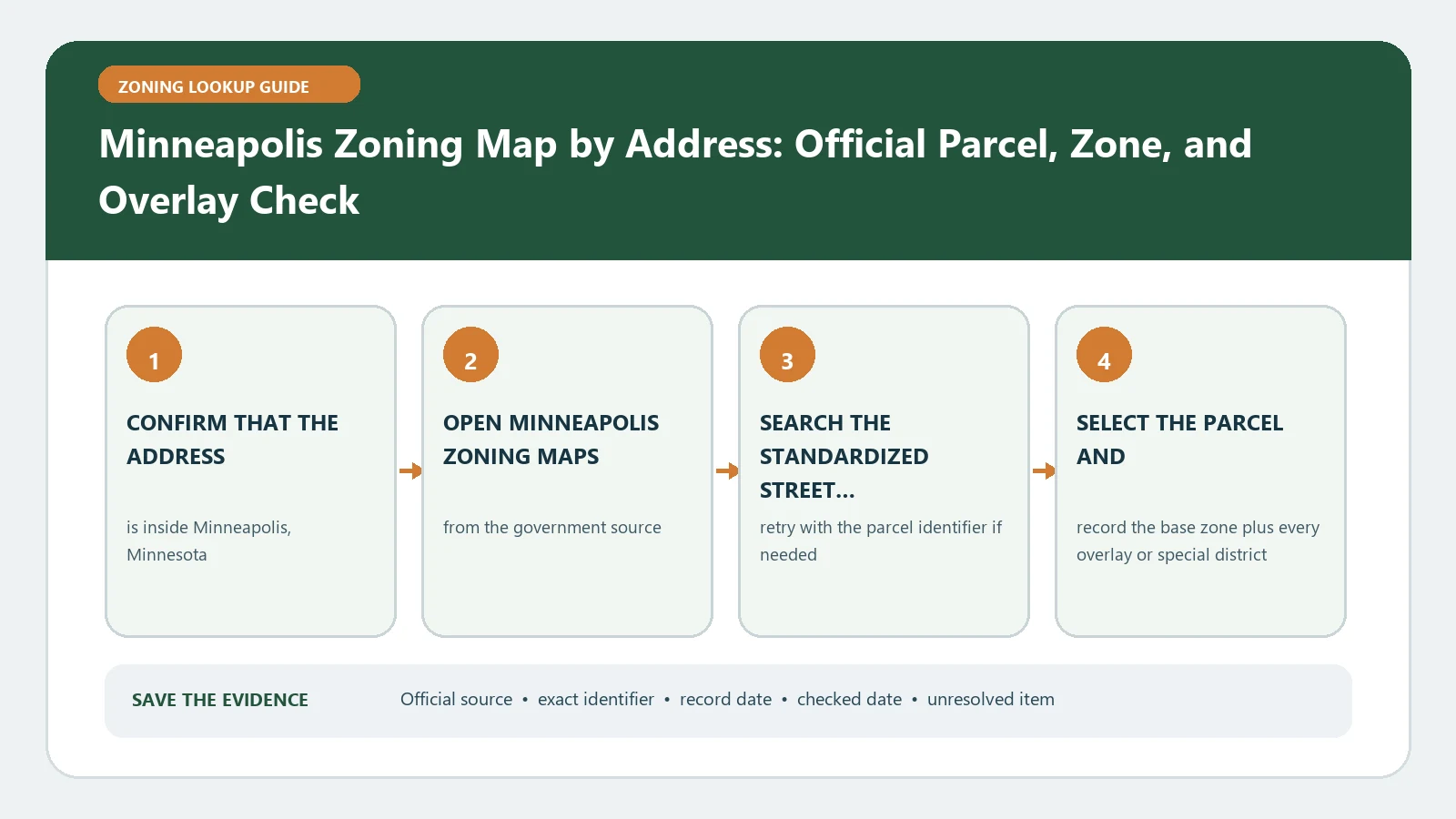
Open the City of Minneapolis interactive zoning map, search the complete address, select the parcel, and record three possible rule layers: the primary zoning district, the built form overlay, and any additional overlay. Cross-check the result through the City zoning maps directory. No single layer states that a particular project is approved.
Minneapolis publishes both an interactive lookup and downloadable plate maps. They are most useful together. The interactive parcel gives a fast address result; the plate establishes where each class of zoning layer is drawn. Begin with the parcel, keep every layer in its own field, and only then read the code for the proposed use and building form.
Let the interactive parcel define the lookup
Enter the full Minneapolis address and select the result whose parcel shape matches the property. Record the returned address, parcel identifier if shown, and the selected outline. A corner lot may look like two colored areas because streets, labels, or adjacent parcels overlap visually. Click within the property more than once and compare the popup before deciding that the lot carries multiple districts.
If the work spans two parcels, do not build one combined zoning statement. The ownership or project may be unified while the land records remain separate. Give each parcel a line in the worksheet and later identify which improvements fall on which parcel. This prevents an apparently favorable district from being extended across a lot line.
Write a three-layer zoning ledger
| Layer class | Value to record | Question it answers |
|---|---|---|
| Primary zoning district | Exact district code for the selected parcel | Which use district starts the code review |
| Built form overlay | Complete overlay label and mapped boundary | Which scale and form framework may apply |
| Additional overlay | Every separate overlay touching the parcel | Which place-specific rules need another code check |
| Parcel identity | Address, parcel reference, and selected geometry | Whether all layers belong to the intended land |
| Map timing | Interactive access date and plate publication date | Whether two captures are being compared fairly |
The City explains that zoning restrictions depend on the primary district, built form overlay, and additional overlays when applicable. Do not compress the ledger into one homemade code. Each layer has a different code route and may answer a different part of the proposal. Preserving the official labels also makes a staff question reproducible.
Use the plate as a geographic cross-check
Minneapolis organizes its zoning map PDFs into numbered plates. After the interactive parcel is selected, locate the address on the relevant plate. Review the primary district plate, built form overlay plate, and additional overlay plate rather than expecting one PDF to show everything. Match roads, parcel boundaries, and the plate edge. A label near a boundary should be verified against the polygon, not assigned by proximity.
When a plate and the interactive map show different values, write down both publication or access dates and preserve the images. The disagreement may reflect an update, a selection mistake, or the use of different layer types. It is not a reason to pick whichever classification better fits the project. Ask Zoning Administration which adopted map controls the parcel.
Ask the code one project question at a time
Describe the intended use, building work, dwelling count, gross floor area, height change, parking effect, and any outdoor component. Use the primary district to screen the land use. Then apply the built form and additional overlay provisions to the same project description. This order prevents a use allowance from being mistaken for compliance with building form, setbacks, frontage, or another overlay standard.
- Is the exact activity allowed, conditional, temporary, accessory, or not listed in the primary district?
- Which built form overlay standards affect the proposed height, floor area, yards, or bulk?
- Does an additional overlay add preservation, environmental, corridor, or other place-specific review?
- Does the proposal require a land-use application or staff interpretation before permit drawings?
Keep map facts apart from project judgments
A map fact can be stated narrowly: the official interactive result displayed a named district for a selected parcel on a recorded date. A project judgment goes further and depends on the ordinance, proposal, existing approvals, and sometimes a formal decision. Keep those sentences separate in the evidence file. If the use changes, retain the map fact but rerun the judgment.
The three-layer ledger does not prove use compliance or authority to start construction in Minneapolis. It identifies the mapped framework; permits, lawful-use history, staff interpretations, and another regulatory review can remain outside the zoning-map result.
Do not infer that a blank overlay field means no other review applies. Confirm that the relevant layer was enabled and the parcel popup was active. Nor should a downloaded plate be treated as a survey. Boundary uncertainty near a lot line deserves a parcel-level official answer, especially before design money or a purchase depends on a few feet.
Recover a missing overlay or wrong plate
If the address search fails, remove a unit number, verify the street direction, and browse to the property. If the primary district appears but the built form layer does not, check the active layer list and open the separate plate map. When the site lies near a plate edge, inspect the adjoining plate. Save the unsuccessful state before changing settings so the cause of the mismatch remains visible.
For a recently rezoned parcel, collect the case or ordinance reference if exposed elsewhere in the City record and compare its effective date with both map sources. A pending application is not the current district. An adopted action that has not appeared in one interface is a discrepancy for the City to resolve, not a cue to rewrite the result locally.
Archive the snapshot when the decision is made
Save the selected parcel, three-layer ledger, plate references, project description, code sections, checked date, and unresolved item. Before a permit submission, closing, or major design change, repeat the same queries and compare the new ledger with the old one. The earlier snapshot becomes a useful change record only when its date and layer settings remain attached.
The site has a Minneapolis layer dictionary for popup fields, a guide to overlapping rule layers, and a code-versus-map explanation. Use those for interpretation technique; cite the Minneapolis sources for the parcel values.
The Minneapolis interactive and plate-map routes were reviewed August 26, 2026. Recheck all three zoning layer classes on the live City sources before relying on the parcel record.