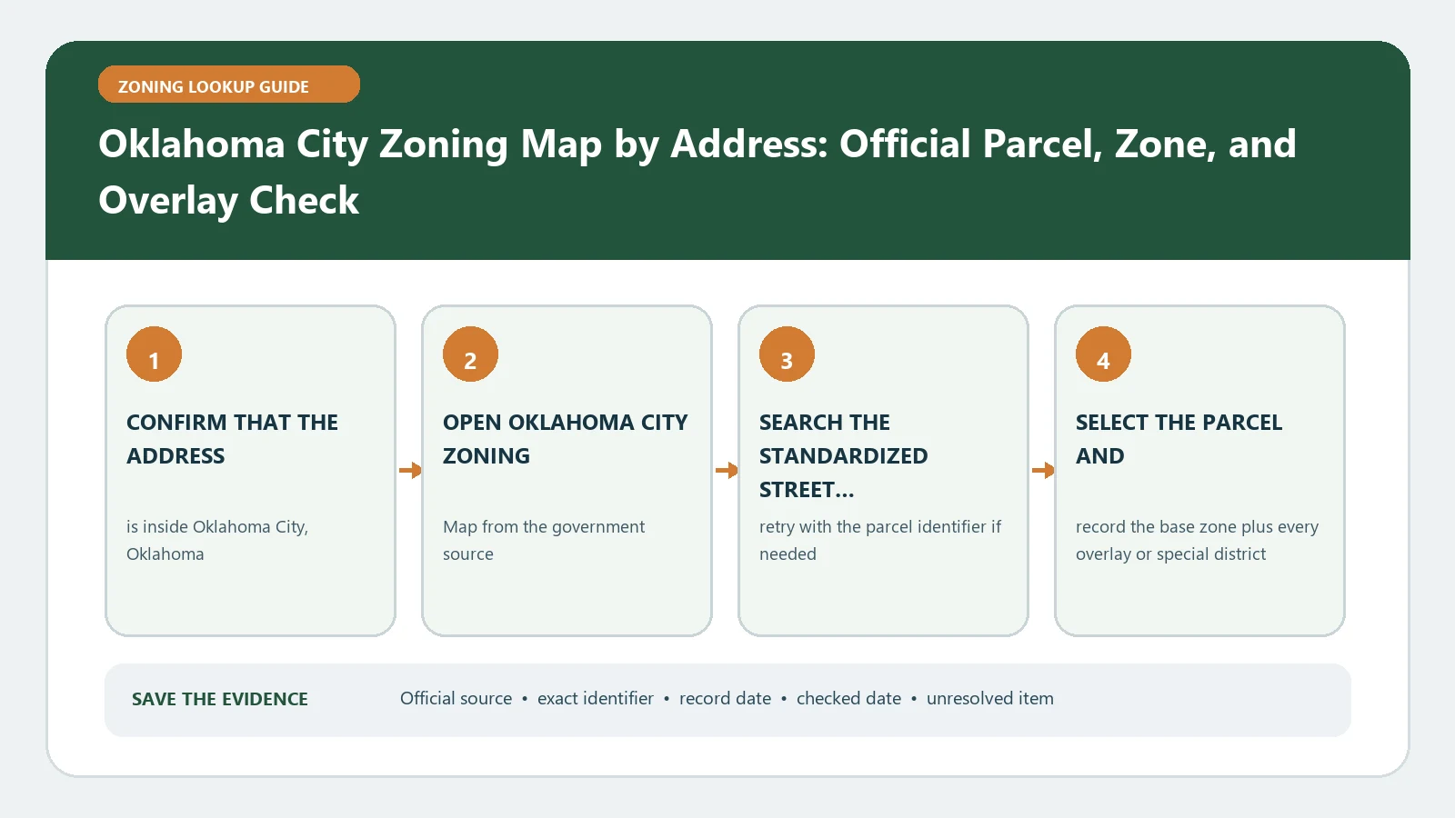
An Oklahoma City zoning map lookup is complete only when the selected property has been checked against four separate layer families: straight zoning, parcel overlays, point overlays, and non-zoning context. Search the address, intersection, or case number in the City zoning map, then record each family separately so a colored overlay does not replace the base district.
Reviewed August 26, 2026 using Oklahoma City's zoning map, Planning route, and official overlay service fields.
Use the input that matches the question
| Input | Best use | Identity limit |
|---|---|---|
| Street address | Find a candidate property | Confirm the selected parcel rather than the address pin |
| Intersection | Review nearby zoning context | Does not identify one tax parcel |
| Case number | Locate a rezoning or special-case record | Does not by itself prove the current parcel result |
Make a four-family layer card
| Layer family | Record | Interpretation task |
|---|---|---|
| Straight zoning | Base district code | Open the Chapter 59 district, use, and development standards |
| Overlay parcel | Code, full case, ordinance, approval date, district name, expiration or usage fields when present | Open the controlling ordinance and test whether it is still applicable |
| Overlay point | Point label and associated record | Confirm that the point relates to the selected property |
| Non-zoning | Planning, boundary, environmental, or reference layer | Treat as context or a separate review trigger, not as the base zone |
The official overlay parcel service exposes fields such as the overlay code, full case, ordinance number, approval date, district name, and expiration or usage information. Copy the populated fields exactly; a blank expiration field is not proof that a condition lasts forever.
Follow each case identifier to its document
The Subdivision and Zoning page routes users to the map, Chapter 59, and planning processes including PUD, SPUD, overlays, plats, and lot splits. When a PUD, SPUD, or overlay case appears, open the ordinance, plan, conditions, and amendments for that identifier. The case label is an index; it is not the document’s permitted-use or development-standard answer.
- Copy the current base district before opening case documents.
- Match the case or ordinance to the same parcel and layer family.
- Record approval and amendment dates, and any expiration or usage field actually populated.
- Identify the proposed use or physical standard in Chapter 59 and in the site-specific document.
- Mark a conflict for staff review instead of choosing whichever source appears more favorable.
Recover when the map is silent or noisy
| Symptom | Likely cause | Recovery |
|---|---|---|
| No address result | Input or geocoder mismatch | Remove unit text, try the intersection for orientation, then identify the parcel manually |
| Base district missing | Layer visibility, scale, or jurisdiction issue | Confirm the straight-zoning layer and property boundary before interpretation |
| Many pop-ups | Several layer families are active | Turn off unrelated families and identify one group at a time |
| Case label without document | Record link is incomplete | Retain the exact case/ordinance fields and request the file from Planning |
Conclude by layer family, not by map color
The result should list the selected property, straight district, every relevant parcel or point overlay, non-zoning context used, Chapter 59 sections, and unresolved case documents. Route overlay interpretation to Zoning Overlays and Special Districts, site-specific plans to Change Zoning or Request a Variance, and district rules to Zoning Code vs Zoning Map. That record answers the Oklahoma City map query without merging four different data types into one claim.
Audit an Oklahoma City overlay record field by field
For each overlay parcel result, make a row containing its code, full case identifier, ordinance number, approval date, district name, and any expiration or usage value actually returned. Preserve blank fields as blank. Do not convert an empty expiration field into a claim that the action is permanent.
| Field condition | Safe entry | Recovery |
|---|---|---|
| Case and ordinance populated | Copy both and open the adopted action | Compare parcel boundary, approval date, plan, and later amendments |
| Case present, ordinance blank | Case identified; adoption record unresolved | Search the case file and ask Planning for the final action |
| Expiration or usage populated | Transcribe the exact value and field label | Confirm how Chapter 59 or the ordinance defines it |
| Overlay point near parcel | Proximity observation only | Open the point record and verify its property relationship |
A non-zoning layer can identify a plan, boundary, flood, transportation, or other context that sends the project to a second review. It does not establish a change to the straight-zoning district. Name the layer, record what it displays, and identify the office or code section that owns the separate question.
Create a reproducible map state
Before saving the result, turn off unrelated layers, zoom until the parcel boundary is visible, select the property again, and record which four layer families were enabled. If the public tool allows a print or share view, retain it with the checked date. Otherwise list the active layers in the work file.
The map state does not prove project approval, lawful occupancy, or the completeness of a site-specific file. If the proposed use depends on a PUD, SPUD, overlay, or older approval, the final note must either name the controlling document and provision or label that document unresolved.
Cross-check an Oklahoma City case search against the address result
Begin with the address and capture the selected parcel’s straight zoning and overlays. Then search the case number returned by the map. Compare the case boundary, parcel or legal description, ordinance, approval date, and map layer. If the case search opens a nearby or parent parcel, do not attach it to the subject property without a document match.
Repeat the sequence in reverse when a user starts with a case number: locate the case, identify its mapped land, and then test the subject address against that boundary. This two-direction check catches copied case numbers and amended sites.