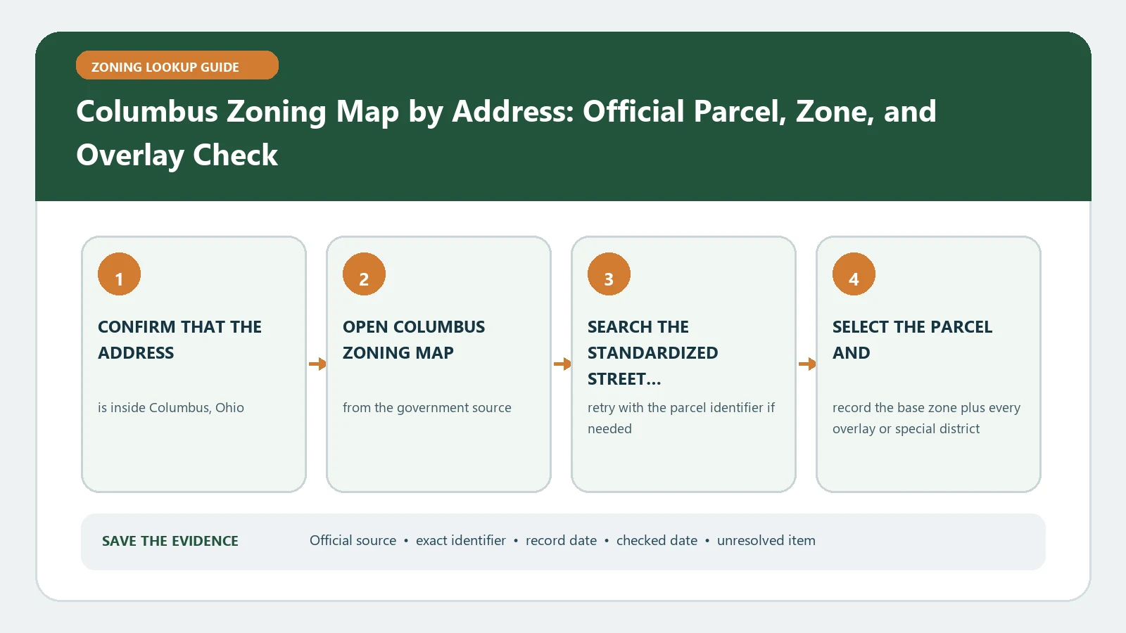
Use a Columbus parcel search when the whole parcel matters; an address search can return only layers intersecting the mapped address point. The City of Columbus zoning-map instructions and its official guide make that geometry distinction important. Start with the parcel number for boundary, overlay, variance, and case research, then compare the address-point result instead of assuming the two searches ask the same geographic question.
Official route checked August 26, 2026: City of Columbus GIS. Recheck the Columbus layer guide, current case status, ordinance record, and staff route whenever the map and parcel history will support a decision.
Choose the geometry that matches the question
The official Columbus Zoning Map guide explains that an address search reports data intersecting the address point, while a parcel search evaluates layers against the parcel polygon. Use the address route for quick orientation. Use the parcel route when the question concerns an overlay touching another portion of the lot, a split district, a variance, or a project spanning assembled parcels. Record which search mode produced each result. A clean address-point return cannot be used to erase a parcel-wide intersection that appears in the polygon search.
| Research question | Preferred input | Reason |
|---|---|---|
| Quick location check | Street address | Fast orientation to the mapped address point |
| Whole-lot zoning and overlays | Parcel number | Tests the parcel polygon rather than one point |
| Boundary or split-zone concern | Parcel number plus identify tool | Preserves the exact geometry and intersecting layer |
| Several lots in one project | Every parcel number | Prevents one parcel result from standing in for the site |
Build the base record before opening case layers
Open the official Columbus zoning application, select the correct parcel, and use the identify tool. Copy the base zoning designation, parcel identifier, address, and visible jurisdiction information. Then enable area commission, historic district, commercial overlay, and planning overlay layers relevant to the question. Export or save the available report, but keep the selected parcel and lookup time beside it. A printable report is a research snapshot; it does not convert a proposed use or construction plan into an approved project.
- Normalize the address and retrieve the parcel number.
- Run the address-point search and save its returned layers.
- Run the parcel-polygon search for the same property.
- Use identify on the intended polygon and copy base zoning exactly.
- Enable historic, commercial, planning, and area-commission layers as applicable.
- Save the report, layer names, lookup date, and any difference between the two search modes.
Keep proposed, approved, and variance records in different columns
A case layer can describe a proposal, a completed rezoning, a council variance, or another historical action. Those states are not interchangeable. Put each returned case number in a chronology table with the layer name, status label, ordinance or decision record, approval date if any, and the current base-zoning result. A proposed case is not current zoning merely because its polygon intersects the parcel. An approved case still needs its ordinance and effective outcome checked. A variance can be limited to a particular use, plan, owner context, condition, or period rather than rewriting the district for every future project.
| Record | What it may establish | What must still be opened |
|---|---|---|
| Base zoning | Current mapped district | Applicable Columbus zoning code and later amendment |
| Proposed case | An application or pending geography | Current status, hearing record, and final action |
| Approved zoning case | A legislative action associated with the parcel | Ordinance, effective date, plan, and conditions |
| Council variance | Parcel-specific relief shown in the available record period | Decision text, scope, conditions, and continuing relevance |
Check the official record clock
The city guide notes that some case and council-variance coverage is limited by the period digitized in the map. Treat an empty historical layer as no mapped result in the searched dataset, not proof that the parcel has never been subject to an older action. Compare the base map, case status, approval date, ordinance, and current code. For older or ambiguous history, use the records path identified by Columbus Building and Zoning Services. Save the date each source was checked because a pending case can move to adoption, denial, withdrawal, or expiration.
Decode the result without losing the local field names
Use the Columbus layer field dictionary to retain the application labels, then follow the overlay research method when a supplemental layer intersects the parcel. Your worksheet should separate the map value, the code provision, the case record, and the proposed activity. If the viewer displays both an approved case and a different base district, do not select the more convenient answer. Preserve the conflict and resolve which ordinance changed the map and when.
Repair failed searches and conflicting geometry
When an address is not found, remove unit information, check the street suffix, and search the parcel number obtained from an official property record. When the address point lands outside the intended parcel, stop and reconcile the parcel key before interpreting layers. If parcel and point searches produce different overlay results, capture both maps at the same scale and identify the layer intersection against the polygon. If the report omits a case visible on the map, retain the case number and open its official record rather than treating the export as exhaustive.
For this parcel number, which base district is current, which proposed or approved cases and council variances remain relevant, and does the parcel polygon intersect an overlay that the address-point search omitted?
Send that narrow question with the parcel number, exact address, both search captures, identify result, case numbers, and lookup date. Ask the city to identify the controlling ordinance or record, not to bless an informal project summary. Written confirmation about the zoning record does not replace a permit, certificate of occupancy, building-code review, title search, survey, or verification of private restrictions.
The useful output is a reproducible chronology
A dependable Columbus check lets a second person rerun both geometry searches, select the same parcel, read the same base and overlay layers, and trace every case to its official outcome. Retain positive results, documented blanks, and unresolved discrepancies. Only after that chain is complete should the proposed activity be tested against the current code and any parcel-specific conditions. The map is the index to those records and is not a substitute for the controlling ordinance, case decision, or project review.