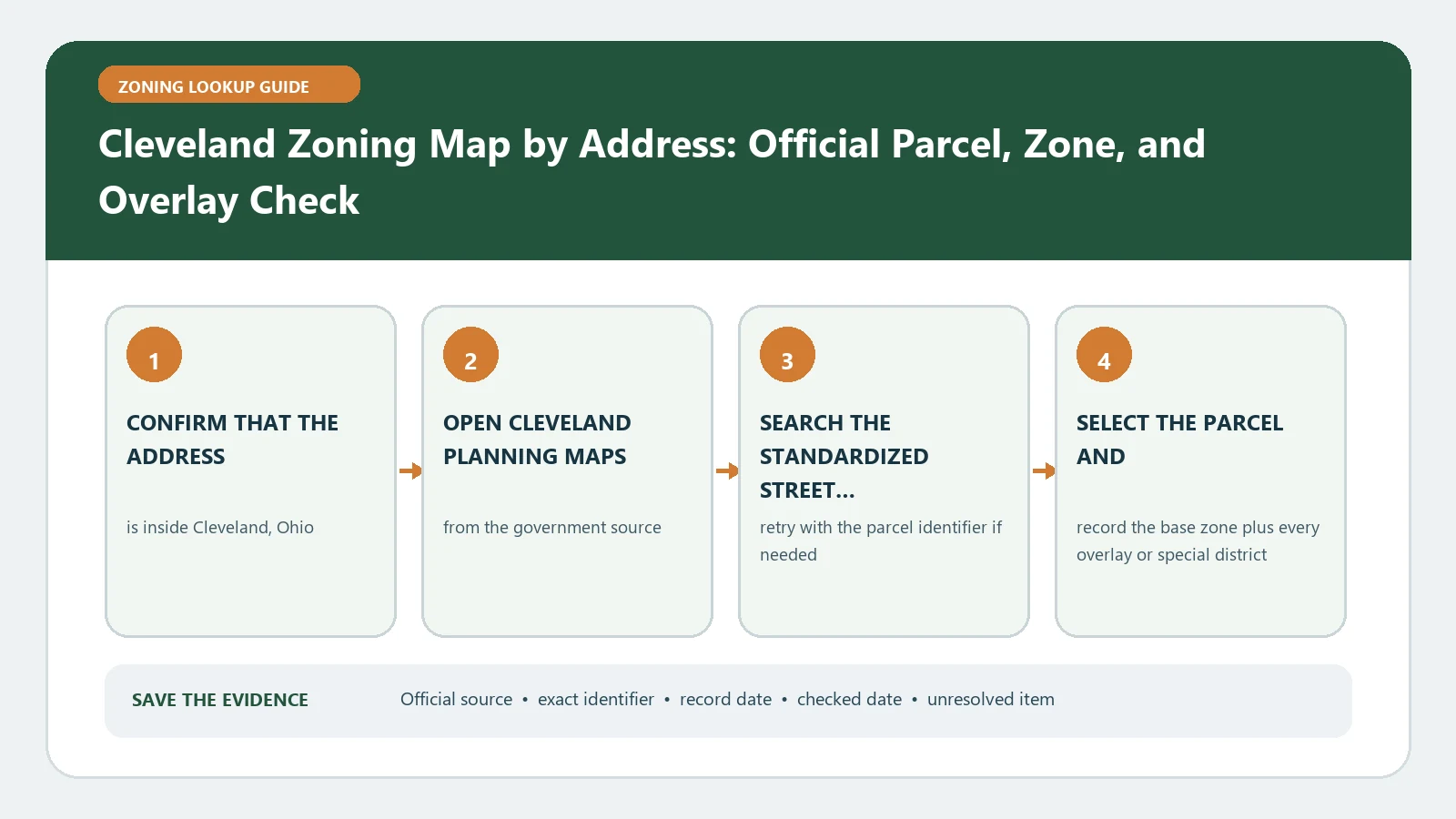
A Cleveland address lookup is incomplete until you know which zoning regime governs the parcel and have copied every mapped component. Begin with the Cleveland Planning maps page, select the parcel in the official viewer, and record the use, height, area, and overlay returns. Cleveland now administers both traditional Euclidean districts and form-based districts, so a familiar-looking code should never be decoded under the wrong rule system.
Official route checked August 26, 2026: Cleveland City Planning Commission. Reopen Cleveland Planning for the current code regime, map amendment, and official interpretation before relying on the worksheet.
Classify the rule system before interpreting the district
The official Cleveland zoning overview explains that the map and zoning code operate together and that the city uses both Euclidean and form-based approaches. Treat regime selection as the first gate. A Euclidean parcel may require separate use, height, and area district readings. A form-based parcel directs the reviewer to a different set of frontage, building-form, and site standards. Record the complete map return first, then identify the governing code path from the city page. Do not convert a label from one regime into a rule from the other because the same proposed activity can be evaluated through different standards.
| First finding | What to preserve | Next official check |
|---|---|---|
| Euclidean district | Use, height, and area components as separate entries | Open each applicable zoning-code provision |
| Form-based district | Full district and mapped frontage or form context | Use the form-based standards identified by Planning |
| Regime unclear | Parcel ID, selected polygon, visible labels, and lookup time | Ask Planning which code path controls the parcel |
Lock the selected Cleveland parcel before reading colors
Open the official interactive zoning viewer and search the complete street address. Confirm that the result marker sits inside the intended parcel rather than on a neighboring lot or road centerline. Retain the parcel identifier if displayed, the street number, the selected polygon, and a wider map view showing the boundary. If a site occupies more than one parcel, repeat the lookup for every parcel. A single pin does not prove that the entire project area shares one district, and a color at small scale does not resolve a boundary that cuts through an assembled site.
- Search the normalized address and confirm the municipality is Cleveland.
- Select the parcel polygon rather than relying on the search marker alone.
- Copy each district component exactly as the result panel displays it.
- Turn on relevant overlay and landmark layers and record positive or blank returns.
- Save the lookup date, map link, parcel identifier, and a boundary screenshot.
Read use, height, area, and overlays as a stack
For a traditional district, the use component identifies the permitted-use framework, the height component controls a separate dimensional question, and the area component can affect yards, lot coverage, or related site standards. An overlay can add another review without erasing the base districts. Keep four worksheet rows even when the map shows them in one pop-up. Then open the official code for each returned component. Reporting only the use district can hide a height or area limit; reporting only an overlay can hide the base rule that still applies underneath it.
| Worksheet row | Map evidence | Interpretive task |
|---|---|---|
| Use | Exact district text and source layer | Locate the proposed use and any conditional process |
| Height | Exact mapped height designation | Check height, transition, and measurement rules |
| Area | Exact area district or applicable area record | Check yards, coverage, lot size, and density standards |
| Overlay or special review | Layer name, value, and boundary | Open the supplemental rule and responsible review body |
Translate the proposed activity into facts the code can test
A map does not answer whether a general idea is allowed. Write a short use statement that identifies what happens on the property, whether customers visit, hours of operation, number of units or occupants, floor area, outdoor activity, parking demand, signs, deliveries, and any construction. Compare those facts with the current code text attached to every map component. If the use table points to an approval process, preserve that process instead of replacing it with a yes or no summary. A permitted use may still need dimensional, parking, design, building, or occupancy review.
Create a Cleveland evidence ledger
Keep a compact record that another reviewer can reproduce. The ledger should include the parcel identifier, selected geometry, full district stack, code section links, lookup time, and any amendment or case that appears relevant. The Cleveland field dictionary helps separate local labels, while the map-versus-code method explains why neither record should stand alone. Mark an empty layer as no value returned in this lookup, not as proof that no supplemental rule exists.
- Parcel key and boundary capture
- Regime decision with the official page used
- Use, height, area, and overlay values in separate rows
- Current code sections and amendment dates checked
- Proposed activity described in operational and dimensional facts
- Unresolved boundary, history, or interpretation question
Recover from a blank, split, or contradictory result
If the address search returns nothing, retry with a shortened street form, then locate the parcel by map navigation and nearby addresses. If the pin and selected polygon disagree, trust neither until the parcel identifier and boundary are reconciled. When separate layers show conflicting labels, preserve both results with their layer names and lookup times; one may reflect a distinct district component rather than an error. If the project area crosses a district edge, document each affected parcel and ask Planning how the boundary is administered. A narrow request is more useful than asking whether the property is simply zoned correctly.
For this parcel identifier, which current zoning regime applies, what are the complete use, height, area, and overlay designations, and has a map amendment changed any of those entries?
Send the parcel key, full address, screenshot, copied labels, lookup date, and proposed activity with that question. Preserve the reply and its limits. A staff response about the current district is not a building permit, occupancy approval, title opinion, survey, or guarantee that a specific design complies. Those decisions can require separate records and application review.
Stop at the boundary of what the map proves
The Cleveland zoning map is strong evidence of mapped district information at a recorded time. It does not establish a surveyed property line, private deed restriction, environmental condition, utility capacity, building-code compliance, or permit issuance. Use it to identify the controlling public rule set and the next official question. For a purchase, lease, financing decision, or substantial design commitment, obtain current written confirmation from the responsible Cleveland office and keep the confirmation with the saved map-and-code ledger.