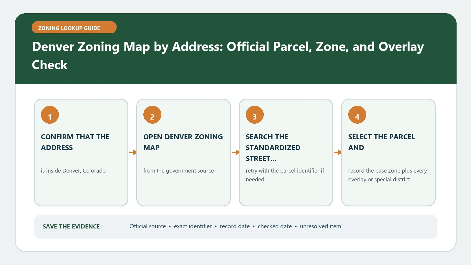
Use Denver’s official zoning map to select the exact parcel and copy the full zone-district label, then determine whether the Denver Zoning Code or Former Chapter 59 governs that site. Read every component, overlay, PUD, and property-specific case before testing the proposed use. A map label does not prove project compliance or permit eligibility.
Reviewed August 25, 2026 against Denver’s current map and Community Planning and Development zoning route.
Select the Denver parcel before decoding the label
Open the Denver zoning map, enter the full address, and select the parcel polygon. Confirm the street, lot outline, and any available parcel identifier. An address marker can fall on a road or one portion of a multi-parcel project. If the property is near a municipal boundary, verify that City and County of Denver zoning is the relevant authority.
- Record the full zone-district string exactly as displayed.
- Capture the selected boundary, map date, and any layer or case reference.
- Check whether more than one district or special area crosses the property.
- Describe the proposed use, structure, floor area, height, parking, and exterior work before opening the code.
Treat the district code as a set of components
Denver district labels can encode neighborhood context, dominant building form, maximum stories, and a special purpose. The exact meaning comes from the code, not from a familiar letter. Use the Denver zone-field guide to organize the label, then verify every component in the official source.
| Evidence | Question to answer | Follow-up |
|---|---|---|
| Parcel selection | Is this the intended Denver lot? | Compare boundary and property identifier |
| Full district label | What code family and form rules begin the review? | Open the district chapter and definitions |
| Former Chapter 59 flag | Does an older code framework govern the parcel? | Use the Former Chapter 59 materials and applicable map |
| Overlay or special district | Are additional area rules present? | Open the overlay text and mapped boundary |
| PUD or case | Is the parcel controlled by adopted site-specific material? | Retrieve the plan, ordinance, exhibits and conditions |
Choose the correct code framework before reading uses
The Denver Community Planning and Development zoning page routes users to current zoning resources, including the Denver Zoning Code and Former Chapter 59 materials. Do not translate a Former Chapter 59 label through the current code or assume that similarly named uses carry identical definitions.
Once the framework is known, locate the proposed primary or accessory use, any limitations, and the building-form standards. Follow definitions, measurements, parking or loading rules, signs, outdoor operations, and review procedures. If the project changes an existing occupancy, check both zoning and building-permit implications.
Test a real proposal against use and building-form rules
A useful screen needs more than a business name or a sketch. State the primary and accessory activities, number of dwelling units, floor area by use, customer and employee presence, outdoor storage or seating, delivery pattern, hours, signs, parking changes, demolition, additions, and proposed height. Match each fact to the code definition and standard. Where a term is uncertain, record the competing classifications and the consequence of each.
Building-form standards can regulate siting and mass even when the use is allowed. Check primary street designation, build-to range, setbacks, height, lot coverage, parking location, transparency, entrances, and any contextual standard that applies to the district. A compliant use can still require design changes, and a conforming building does not make an unlisted activity permitted.
Add overlays, PUD documents, and case history
A base district does not show the complete rule set. Search overlays, design standards, landmark or historic controls, view-plane or airport context, and adopted PUD documents. Retrieve rezoning ordinances, variances, administrative adjustments, and other decisions linked to the parcel. Record the final action and conditions rather than relying on an application description.
The zoning district meaning guide can help frame abbreviation issues. It cannot determine which Denver code edition, plan, or condition controls a specific property.
Compare any historic permit or certificate with the current building and proposal. Legal nonconforming status can depend on continuous use, documented history, damage, abandonment, or expansion rules. Do not infer that status from age alone. Put the evidence and the unanswered continuity question in the request to staff.
When the district is missing, split, or inconsistent
If the map returns no zoning, retry with a nearby address and direct parcel selection, then confirm jurisdiction. For a split-zone parcel, save each polygon and note where the proposed work sits. When a tax record, listing, permit, or older map shows another code, compare parcel IDs and effective dates. A recent rezoning can be adopted but not yet reflected everywhere; a pending case is not the current district.
- Keep the official map result and competing record as separate dated evidence.
- Retrieve the ordinance, PUD, or case that could explain the difference.
- Mark the exact building footprint or activity area on the parcel.
- Ask Denver staff which district and document govern the proposal on the intended filing date.
Send Community Planning and Development a bounded question
Provide the address, parcel, full district label, code framework, overlays, property cases, and a short proposal description. Ask whether the identified use and building form enter an allowed, limited, special-review, or prohibited path and what written confirmation is available. Recheck the map and code before filing. The response scope, map, and this guide are not an approval and do not resolve private covenants, title matters, or every non-zoning regulation.
For a transaction, state the decision date and the consequence of each unresolved issue. A buyer may need a different level of documentation from a homeowner exploring a concept. Keeping that purpose visible helps staff identify whether an informational response, pre-application meeting, or formal zoning letter is the appropriate route.
Also note who will confirm the survey, legal description, private restrictions, building code, and environmental constraints. Assigning those tasks prevents an informal zoning exchange from carrying questions it was never meant to answer.
Preserve the map legend and scale with any screenshot. A cropped color patch without the selected parcel, district label, or source date cannot support a later zoning comparison.