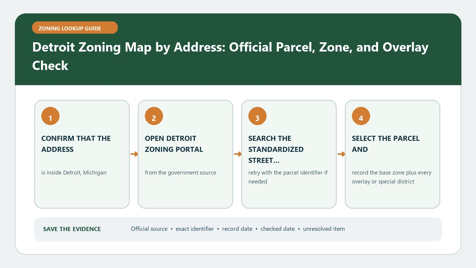
The Detroit zoning map is a screening record, not the City’s official parcel determination. The City zoning resources page expressly describes the linked zoning maps as unofficial and provides a Zoning Verification Letter route when an official answer is required. Use the map to identify the likely district, then choose the evidence level that matches the decision.
Reviewed August 26, 2026 against Detroit's parcel viewer, Chapter 50, and the City's verification-letter guidance.
Choose the evidence level before searching
| Decision | Minimum evidence | Why the map alone is insufficient |
|---|---|---|
| Early feasibility | Parcel match, displayed district, Chapter 50 sections | The City labels the map unofficial |
| Existing-use history | Map plus permit, occupancy, and case records | A district does not prove an old use was lawfully established |
| Purchase, financing, or formal reliance | City Zoning Verification Letter and supporting records | The decision needs an official parcel-specific response |
Anchor the search to a Detroit parcel
- Open the City of Detroit Parcel Viewer and search the full street address.
- Select the parcel polygon and copy the parcel number, site address, and any property identifier shown in the result.
- Compare that identity with the deed, assessor, permit, or transaction record used for the decision.
- If the address point touches more than one lot, repeat the zoning review for each parcel number.
- Record the checked date and the exact map layer used; a screenshot without parcel identity is not reproducible evidence.
Build a three-rung evidence ladder
Rung 1 — map observation
Transcribe the complete district label from the selected parcel and note any boundary crossing or special layer. Call this a map observation. Do not label it an official zoning certification.
Rung 2 — ordinance interpretation
Open Detroit Code Chapter 50. Locate the district, the proposed use, and the dimensional or development standards that apply. Record the exact section and whether the use is allowed by right, conditional, accessory, prohibited, or not located in the reviewed table. A map color never substitutes for this step.
Rung 3 — City confirmation
Use the City’s Zoning Verification Letter process when a lender, buyer, operator, or other decision-maker needs an official parcel-specific statement. State the parcel, current address, exact question, and the records that appear inconsistent. Keep the request and the City response with the checked map and Chapter 50 citations.
Handle a boundary, blank parcel, or historical-use claim
- District boundary crosses the parcel: preserve the parcel-scale view and ask the City which portions and rules apply.
- Address returns no parcel: remove unit text, retry the root address, then search the parcel identifier from the assessor or deed record.
- Map and City letter differ: preserve both dates and use the current City response for the scope it actually answers.
- Existing use seems inconsistent with the district: retrieve certificates of occupancy, permits, enforcement, variance, and legal-nonconforming records before calling it lawful.
Write a bounded Detroit result
Finish with one of three labels: screening complete, historical-right evidence needed, or official verification requested. Include the parcel number, mapped district, Chapter 50 sections, source dates, and unresolved fact. Continue to Planning Department Permit and Zoning Search for the formal-evidence path, Legal Nonconforming Use Records for an older-use claim, and Zoning Code vs Zoning Map for district-to-rule interpretation.
Build the record that a Detroit verification request can answer
A useful request begins with a closed issue, not a request for general approval. Identify the parcel number and address, transcribe the unofficial map district, cite the Chapter 50 section reviewed, and state the proposed use or record conflict. Attach only the public or transaction material necessary to show why the answer matters.
| Request component | Detroit-specific entry | Reason |
|---|---|---|
| Property identity | Parcel number, site address, selected polygon | Prevents an answer for an adjacent lot |
| Observed classification | Full district and map checked date | Preserves the unofficial screening result |
| Code route | Chapter 50 definition, use, or dimensional section | Shows the exact rule question |
| Existing-use record | Occupancy, permit, variance, or enforcement identifier | Separates current zoning from lawful-use history |
| Requested finding | One parcel-specific classification or record-conflict question | Keeps the City response within a verifiable scope |
Reconstruct an older use as a dated chain
When a storefront, industrial activity, dwelling count, or other use predates the current district, collect the earliest reliable occupancy or permit evidence, later alterations, periods of vacancy or discontinuance, enforcement records, and any Board or zoning decision. Arrange those records by date. The present map does not prove that the use began lawfully or retained a protected status.
If an address has been renumbered or several structures occupy one tax parcel, note every address and building covered by each record. Do not transfer an occupancy approval from one suite or structure to the rest of the parcel. Ask the City to identify the scope of the record when its address language is ambiguous.
Keep the response current and scoped
Save the request date, City response date, parcel identifiers, named code provisions, and any stated limitation. Recheck the live map and Chapter 50 if the decision occurs later or after a rezoning, ordinance change, new permit, or revised project. A verification letter answers the questions and records within its scope; it does not replace building, licensing, environmental, fire, or other approvals.
Resolve date conflict between the Detroit map and a letter
If an older verification letter names a district different from the current map, record the letter date, parcel number, stated scope, current mapped district, and any intervening rezoning or ordinance record. Do not discard the letter; it can document the earlier state. Do not let it override a later action outside its scope.
Send the City both records and ask which current classification applies to the identified parcel and proposed decision. The response file should explain the date sequence so a later reviewer can distinguish an update from a parcel mismatch.