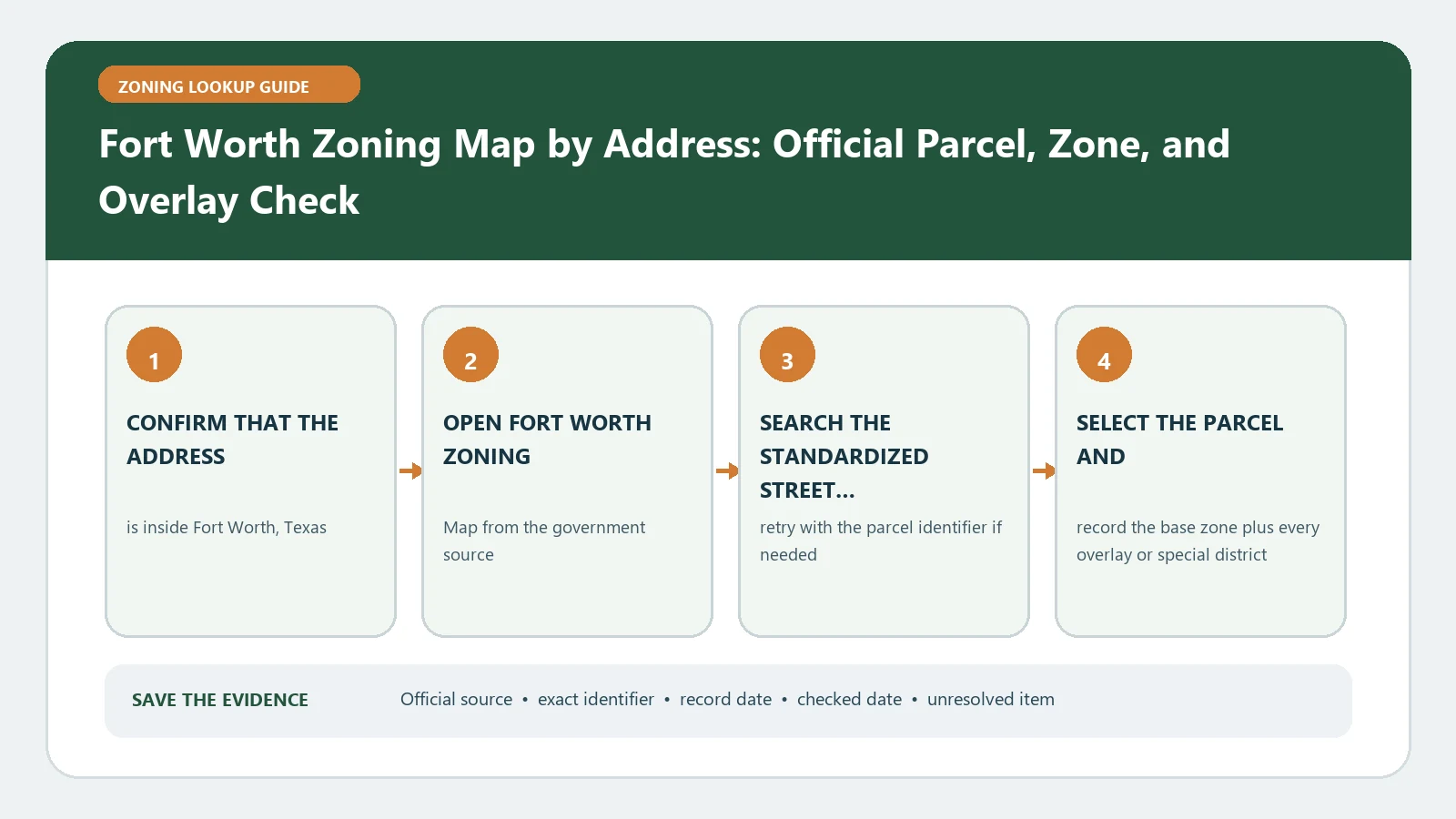
A Fort Worth zoning map check should finish with three separate entries: the parcel’s base district, every applicable overlay, and any Planned Development or Conditional Use Permit document. Start in the official zoning viewer with the complete street address. Select the parcel, not a case symbol or council-district result, and copy the identifiers before reading the colored layers.
Reviewed August 26, 2026 using Fort Worth Development Services, the interactive zoning map, and the current ordinance route.
Open a three-column transaction worksheet
| Base district | Overlay or special area | Parcel-specific record |
|---|---|---|
| District code and description | Overlay name or code | PD, CUP, zoning case, or ordinance identifier |
| District source/date | Layer source/date | Adopted, pending, expired, or unclear status |
| Code chapter/use table | Additional design or location rule | Linked exhibit, site plan, or decision |
Keeping these columns separate prevents a common error: treating a Planned Development number as a normal district or treating an overlay as if it replaced the underlying zoning. The worksheet also exposes a blank. If one column is relevant but unresolved, the zoning conclusion remains incomplete.
Confirm that the map selected the intended lot
- Enter the full address and choose the City viewer result.
- Zoom to parcel scale and click inside the property boundary.
- Compare the displayed address or parcel reference with the transaction record.
- Check whether the site is within Fort Worth city limits; ETJ property is not assigned City zoning merely because Fort Worth appears in a mailing address.
- Save the map date and a print or screenshot that shows the selected parcel and visible legend.
Interrogate the base, overlay, and case layers separately
Open the base zoning result first. Then turn to overlay districts, historic designations, form-based or urban-design areas, and any special corridor layer returned for the parcel. Finally inspect current and historical zoning cases and PD/CUP material. A case marker nearby may concern a different property; match its address, legal description, or parcel list before attaching it to the worksheet.
The detailed field meanings belong in Fort Worth Zoning Map Records. This page owns the address-to-parcel workflow and the decision about which documents must be opened.
Use the ordinance in the order Fort Worth specifies
The City’s Zoning Ordinance instructions put the official map first, then district regulations, use tables, supplemental use standards, and overlay rules. Follow that order for the proposed activity. A district may list a use by right, by conditional process, or with supplemental standards; lot size, yards, parking, landscaping, signs, and preservation controls can still change feasibility.
| Question | Source path | Result to write |
|---|---|---|
| What is the mapped district? | Official zoning viewer | Exact code for the matched parcel |
| Is the activity listed? | Applicable district use table | Permitted, conditional, prohibited, or not located |
| What site standards remain? | District and Chapter 6 standards | Specific sections requiring project review |
| Does a special layer control? | Overlay/PD/CUP document | Additional terms and their document date |
When the viewer does not produce a clean answer
- The address is not found: try the root address without a suite, then locate the parcel from a nearby intersection and verify its identity independently.
- The parcel is split by zoning: record each district and the affected portion; do not choose the color covering most of the lot.
- PD is displayed but no document opens: retain the PD number and request the adopted material from zoning staff.
- A pending case overlaps the site: keep current zoning and proposed case status in different rows.
- A lender or transaction needs written confirmation: use the City’s Zoning Verification Letter route rather than presenting this guide as a certification.
Set a go, investigate, or confirm status
Review the current links and staff contacts on Fort Worth Development Services. Mark go to code review only when parcel, base district, and special layers are captured; mark investigate documents when a PD, CUP, case, or overlay is unresolved; mark confirm with the City when jurisdiction, split zoning, or a transaction representation is material. Use Zoning District Meaning for general codes and zoning change and variance records only after the current parcel record is complete.
Read a Fort Worth PD result through its exhibits
A planned-development label usually points away from the standard district table and toward site-specific material. Capture the PD number and any base-district reference, then locate the ordinance, site plan, development standards, and later amendments. Match the exhibit boundary to the parcel being checked. A nearby PD with a similar number is not interchangeable.
| PD document | Question to answer | Mismatch to flag |
|---|---|---|
| Adopting ordinance | What was legally approved and when? | Map number or parcel is outside the ordinance boundary |
| Site plan/exhibit | Which subarea and physical layout cover the parcel? | Address pin falls in another subarea |
| Development standards | Which uses, setbacks, height, parking, or design rules differ? | Generic district table conflicts with a site-specific term |
| Amendment | What later term or boundary changed? | Original exhibit is being used after a superseding action |
Prepare a verification packet when the map and project do not align
Fort Worth offers a zoning-verification route through Development Services. Before asking, state the parcel and address, displayed base district, overlay or PD, ordinance or case identifiers, proposed activity, and exact uncertainty. Include the map date and the document version reviewed. The question should distinguish current classification from whether a particular site plan, use, or permit will be accepted.
If the project spans several parcels, repeat the map and document check for each lot and show the combined boundary separately. The answer for one parcel does not prove the same rule, overlay, or PD subarea covers the entire site.
Check Fort Worth overlays independently of the base district
When the map returns an overlay, record its full name, boundary, case or ordinance pointer, and the added question it creates. Open the overlay text before applying the ordinary district table. If the parcel touches the edge, preserve the parcel-scale capture and ask whether the legal boundary includes the proposed work area.
The overlay result does not prove that the underlying district disappeared or that every site-specific condition is visible in the map. Keep base, overlay, and PD findings on separate lines.