Philadelphia Atlas Zoning Fields: Base Districts, Overlays, and Pending Bills
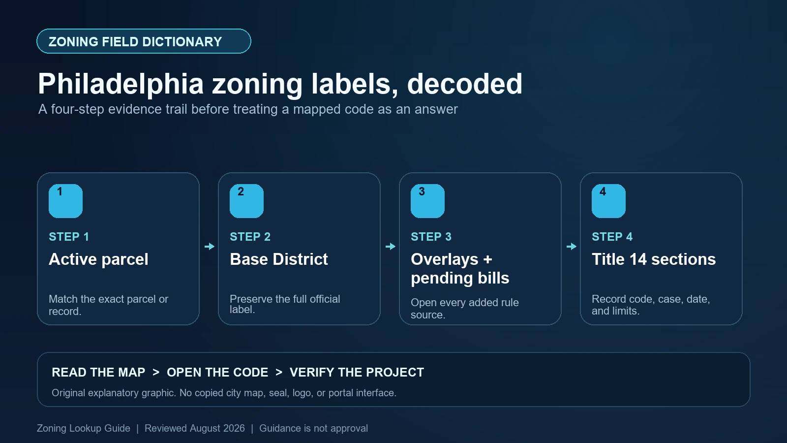
Decode Philadelphia Atlas base districts and overlay fields, keep pending bills separate, and trace CODE_SECTION and CODE_LINK to the current zoning text.
City Guides guides.
Decode Philadelphia Atlas base districts and overlay fields, keep pending bills separate, and trace CODE_SECTION and CODE_LINK to the current zoning text.
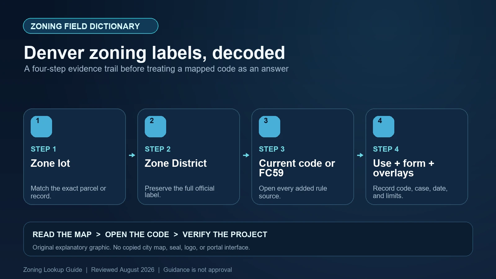
Read Denver’s Zone District and Neighborhood Context fields, recognize Former Chapter 59 properties, and route each code family to the correct rule set.
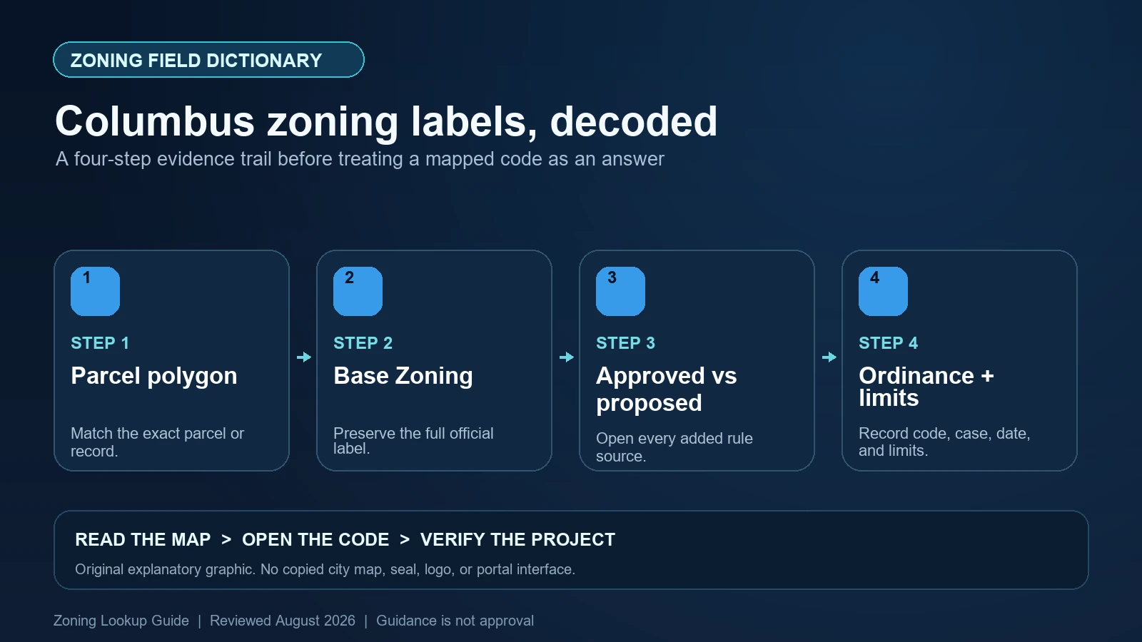
Decode Columbus Base Zoning fields, distinguish approved and proposed cases, and read Council Variance records without mistaking them for a new district.
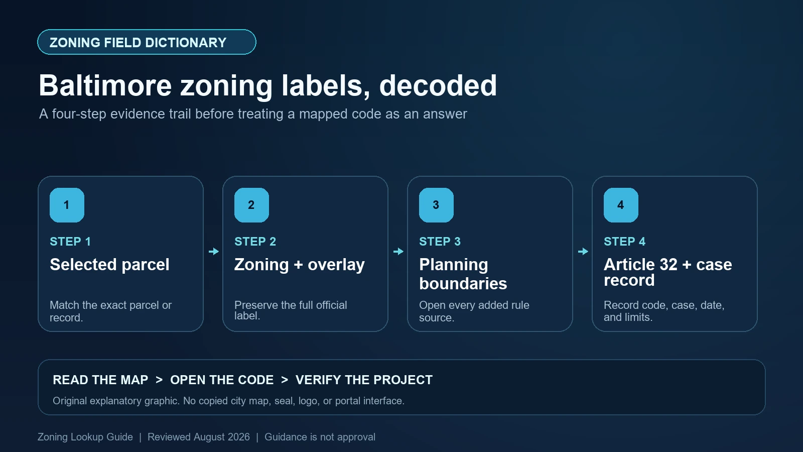
Read Baltimore’s Zoning, overlay, Label, and URL fields, then keep CHAP, National Register, PUD, and Urban Renewal Plan boundaries in their proper roles.
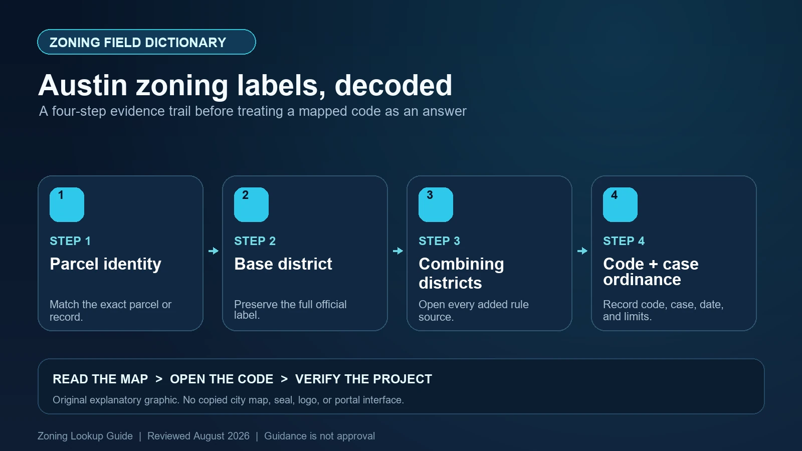
Decode Austin zoning strings such as CS-V-CO-NP, distinguish the address dataset from Property Profile, and trace each combining district to the rule that controls it.
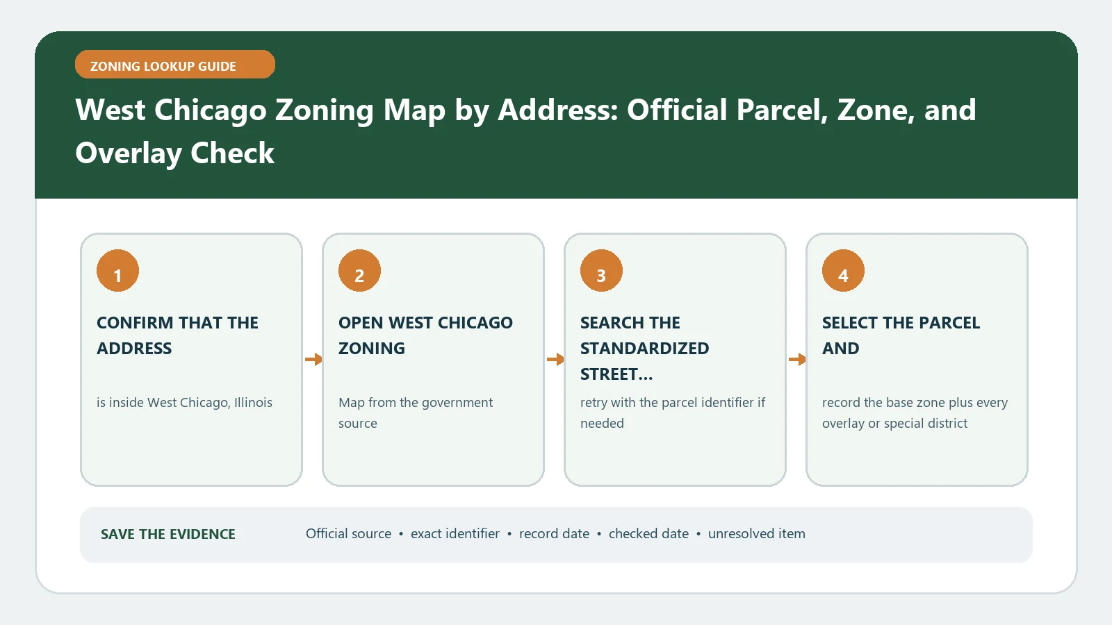
Open West Chicago’s municipal viewer after selecting the exact Illinois parcel, then save its district and visible layers before checking the ordinance. A nearby address pin can lead to the wrong rule.
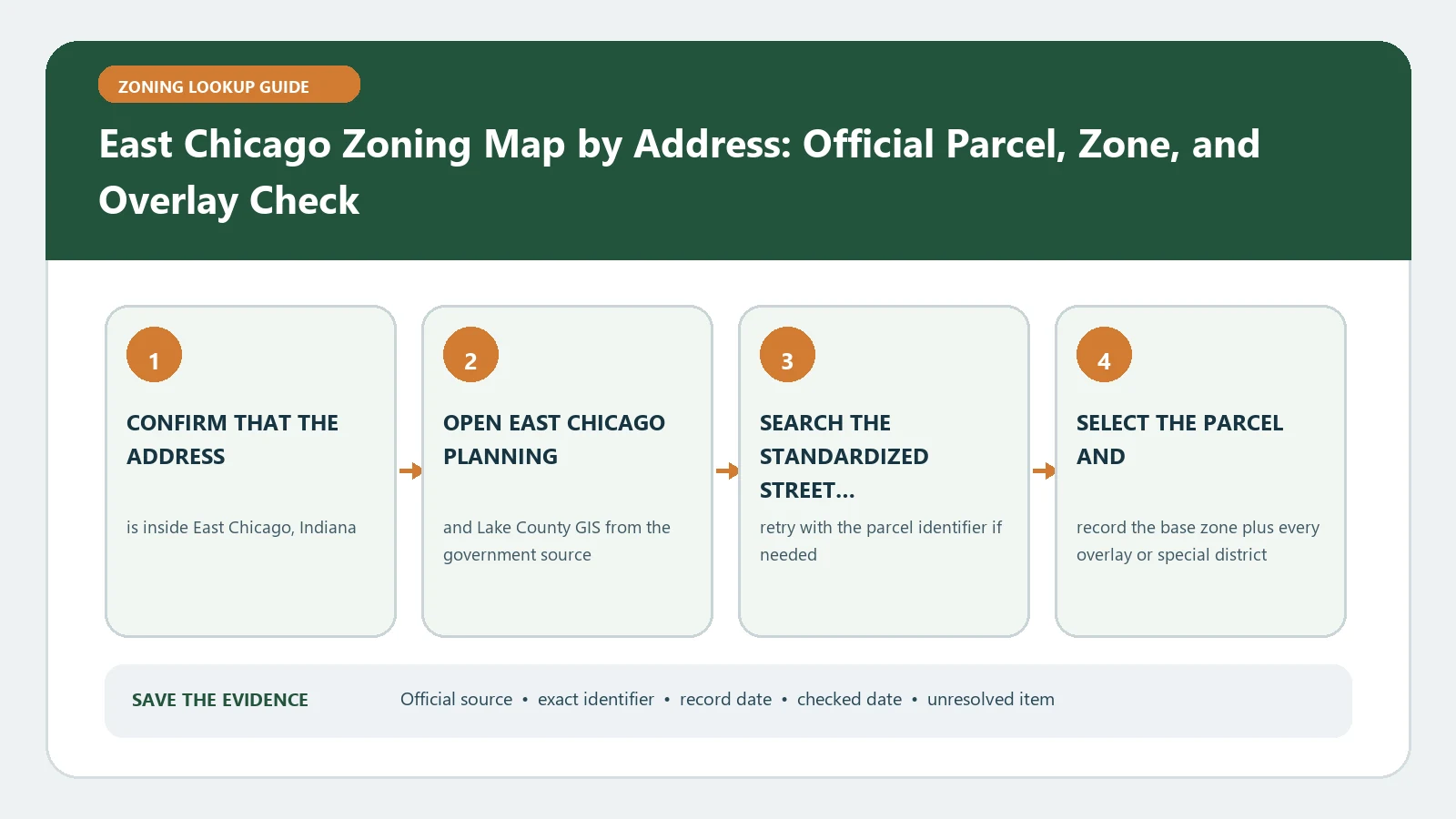
East Chicago Planning and Lake County GIS split the workflow: county data identifies the parcel, while city planning supplies its district layer and retrieval date. Property information alone does not establish permitted use.
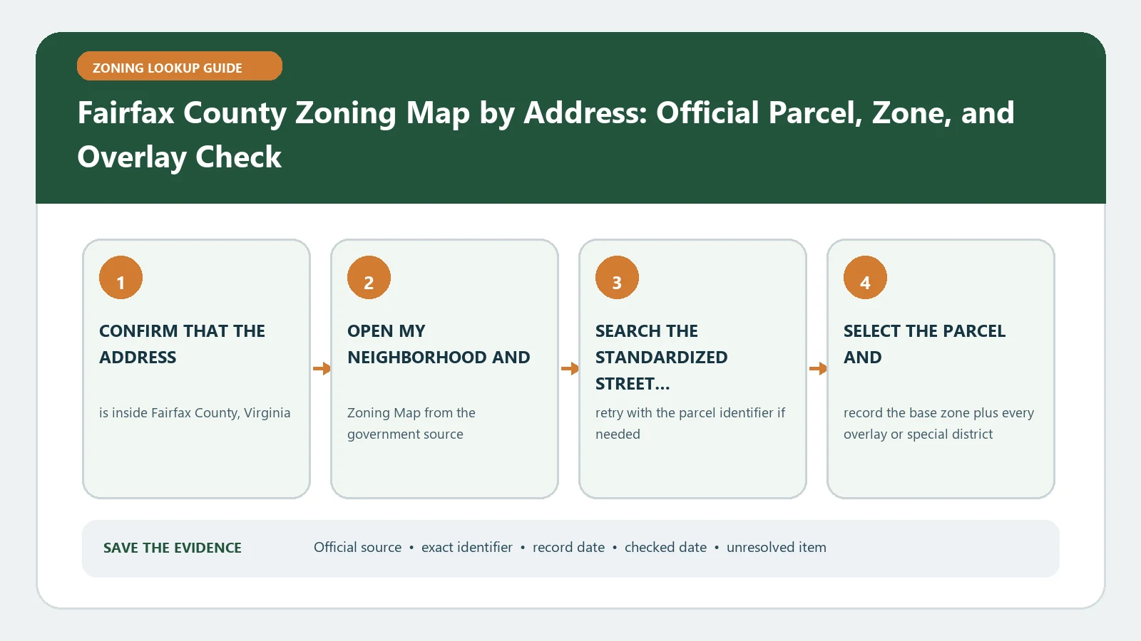
Fairfax County’s map includes zone code, proffer, type, public-land, jurisdiction, and cluster fields. A proffer or cluster entry needs its underlying record reviewed before a use decision.
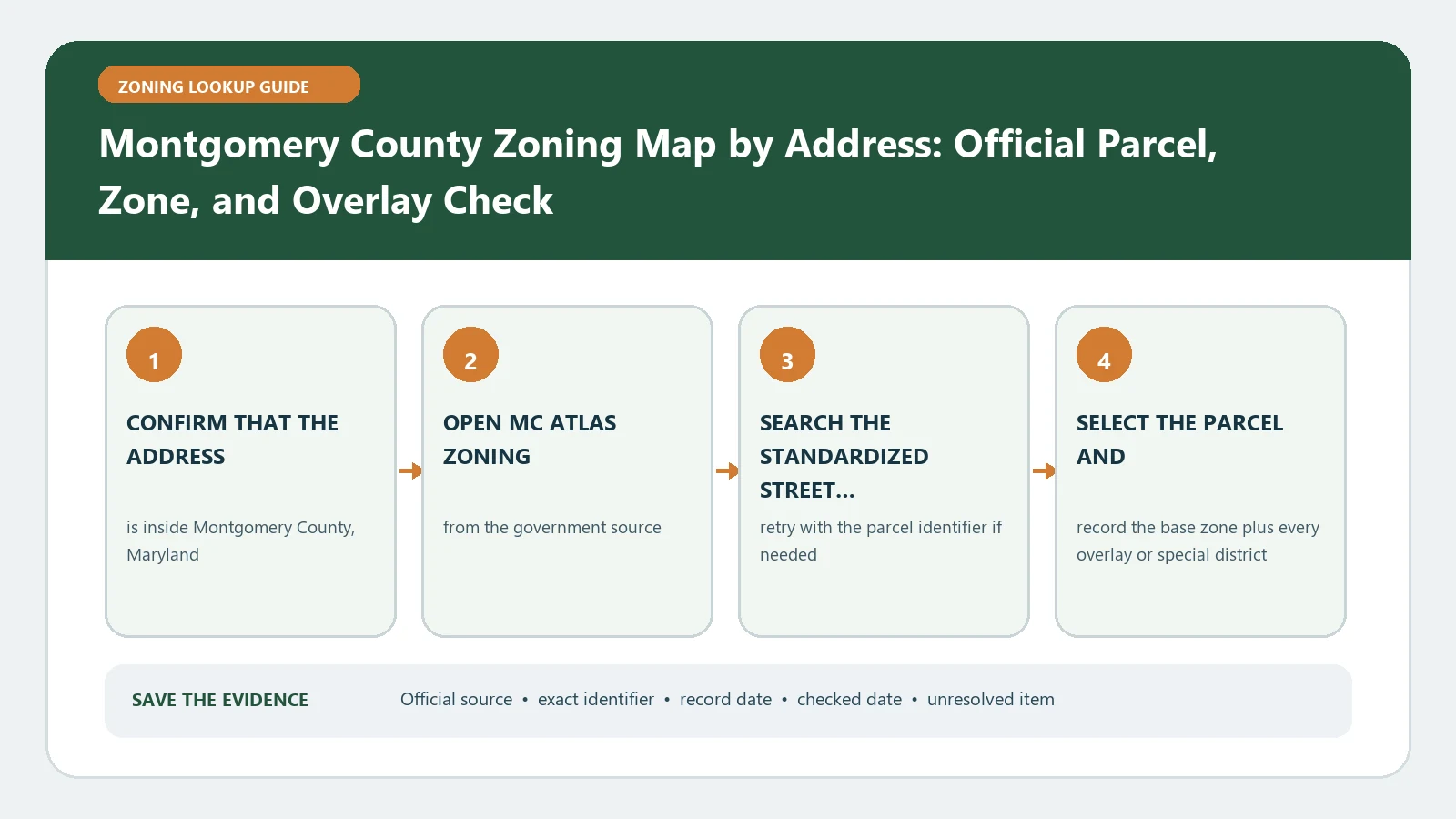
MC Atlas can display zoning blocks, overlays, TDR information, and history for a Montgomery County parcel. Check the block boundary and transfer record before estimating development potential.
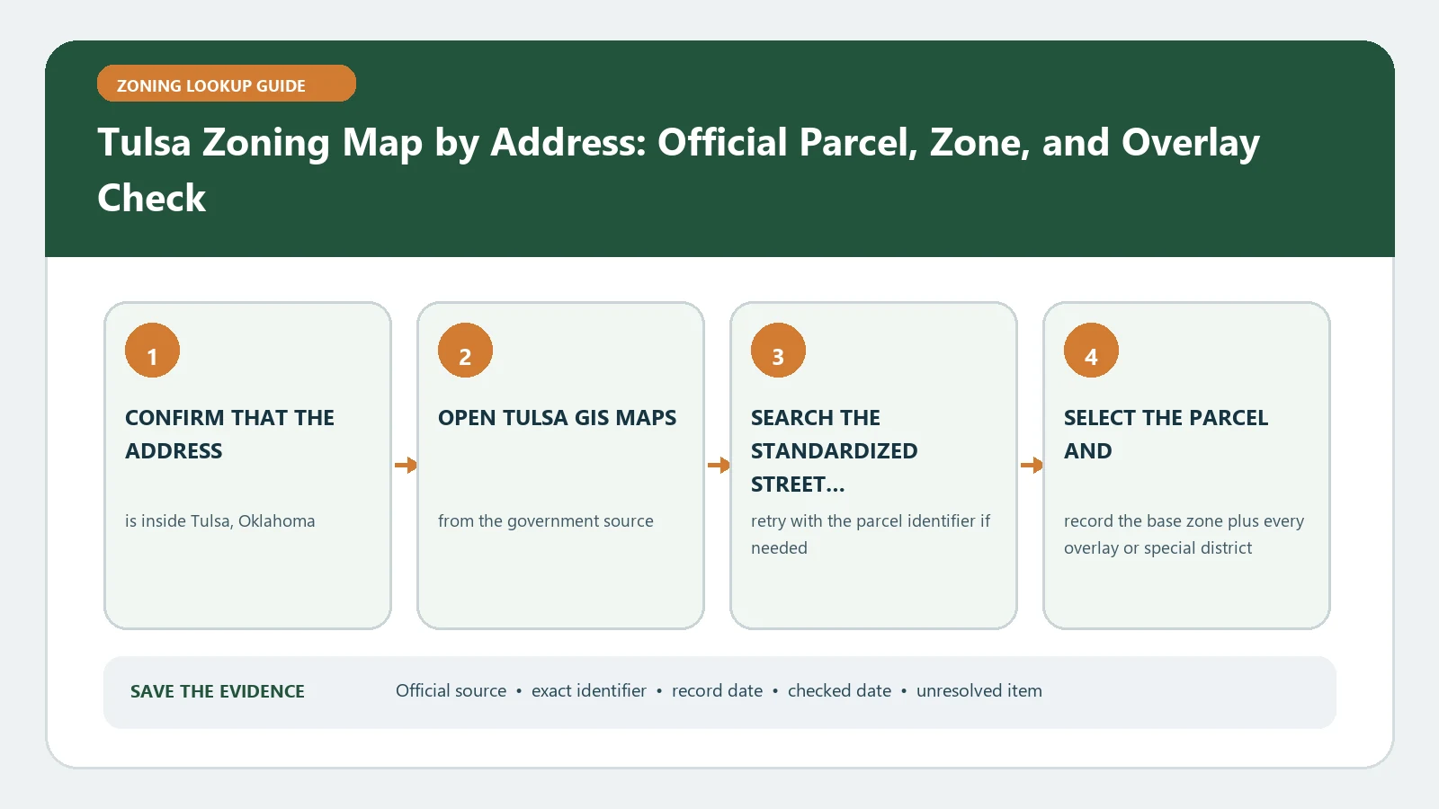
Find a Tulsa parcel by address in the official GIS map, confirm the boundary, and record the district, overlays, case references, and linked ordinance.