Fresno Parcel GIS Fields: ZONING_STRING, Land Use, Community Plan, and City Status
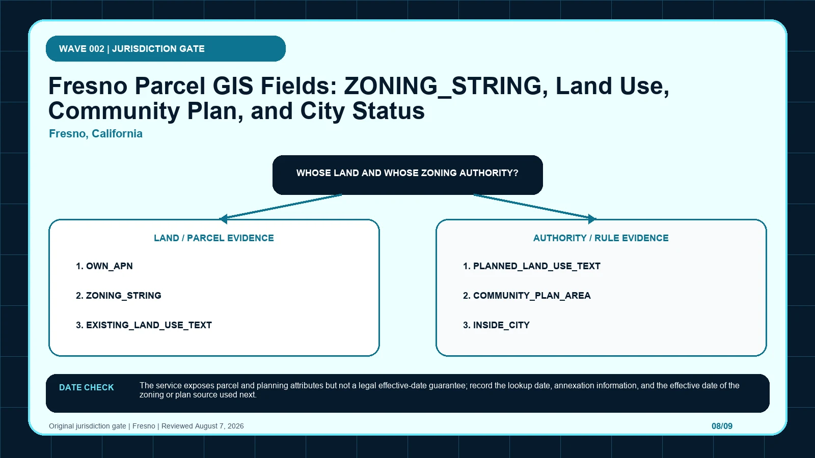
Confirm Fresno city jurisdiction and the selected APN before reading ZONING_STRING, planned land use, community plan, or airport-influence fields.
 Zoning Lookup Guide
Confirm Fresno city jurisdiction and the selected APN before reading ZONING_STRING, planned land use, community plan, or airport-influence fields.
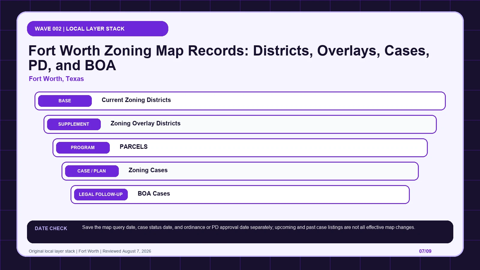
Separate Fort Worth’s district, overlay, parcel, zoning case, BOA case, and PD document before deciding which final ordinance changed the map.
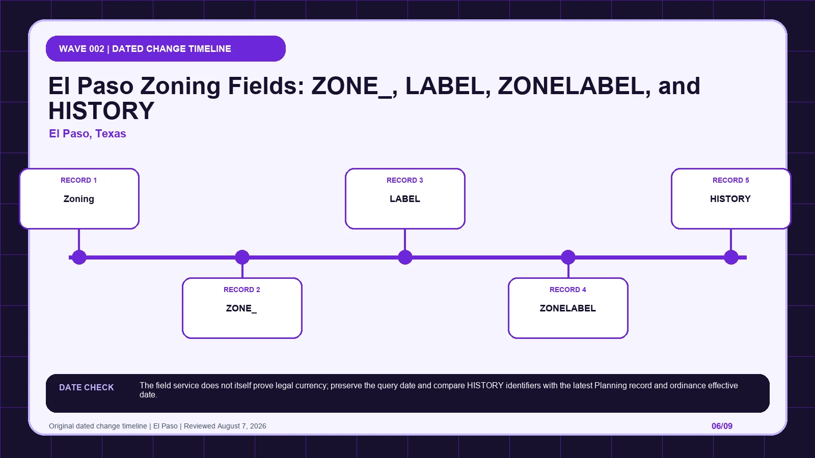
Preserve El Paso’s ZONE_, LABEL, ZONELABEL, HISTORY, and SC suffix separately, then trace the history identifier to the governing action.
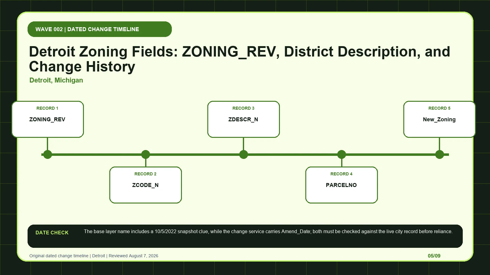
Join Detroit’s base zoning row to the Zoning Changes service, parcel number, amendment date, and ordinance before reporting the current district.
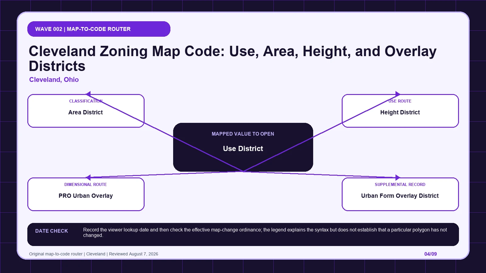
Split Cleveland’s compact map symbol into use, area, height, and overlay records, then confirm the selected polygon through the effective ordinance.
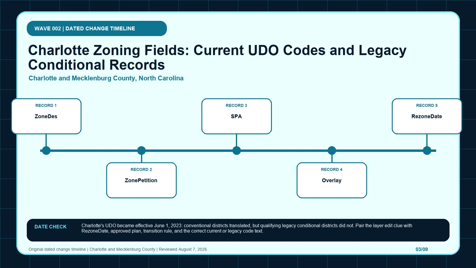
Read Charlotte’s POLARIS fields through the June 2023 UDO transition, preserving legacy petitions and approved plans before choosing the current code.
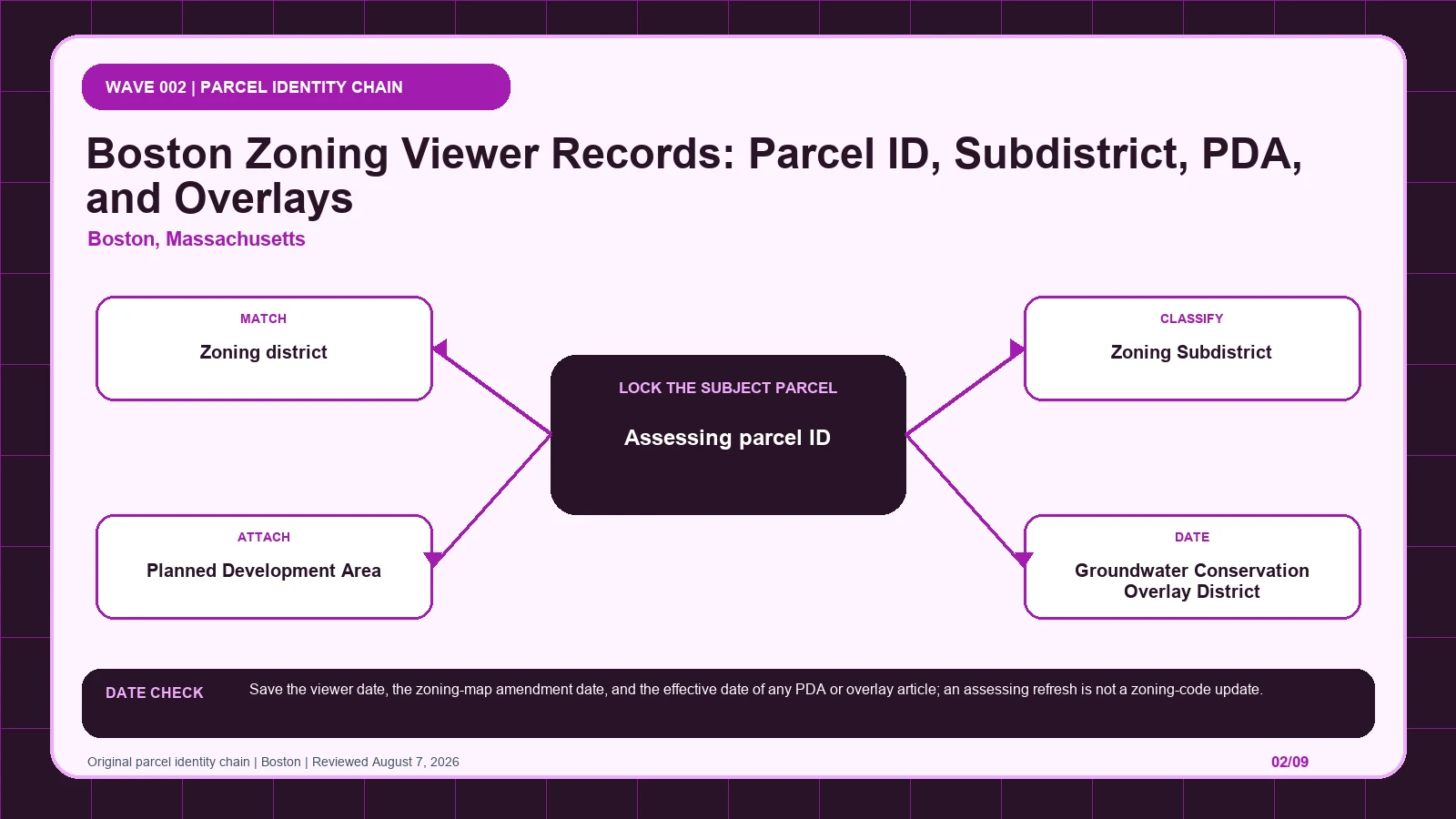
Match the Boston Zoning Viewer result to the assessing parcel, then open the subdistrict, PDA, GCOD, or CFROD article returned for that land.
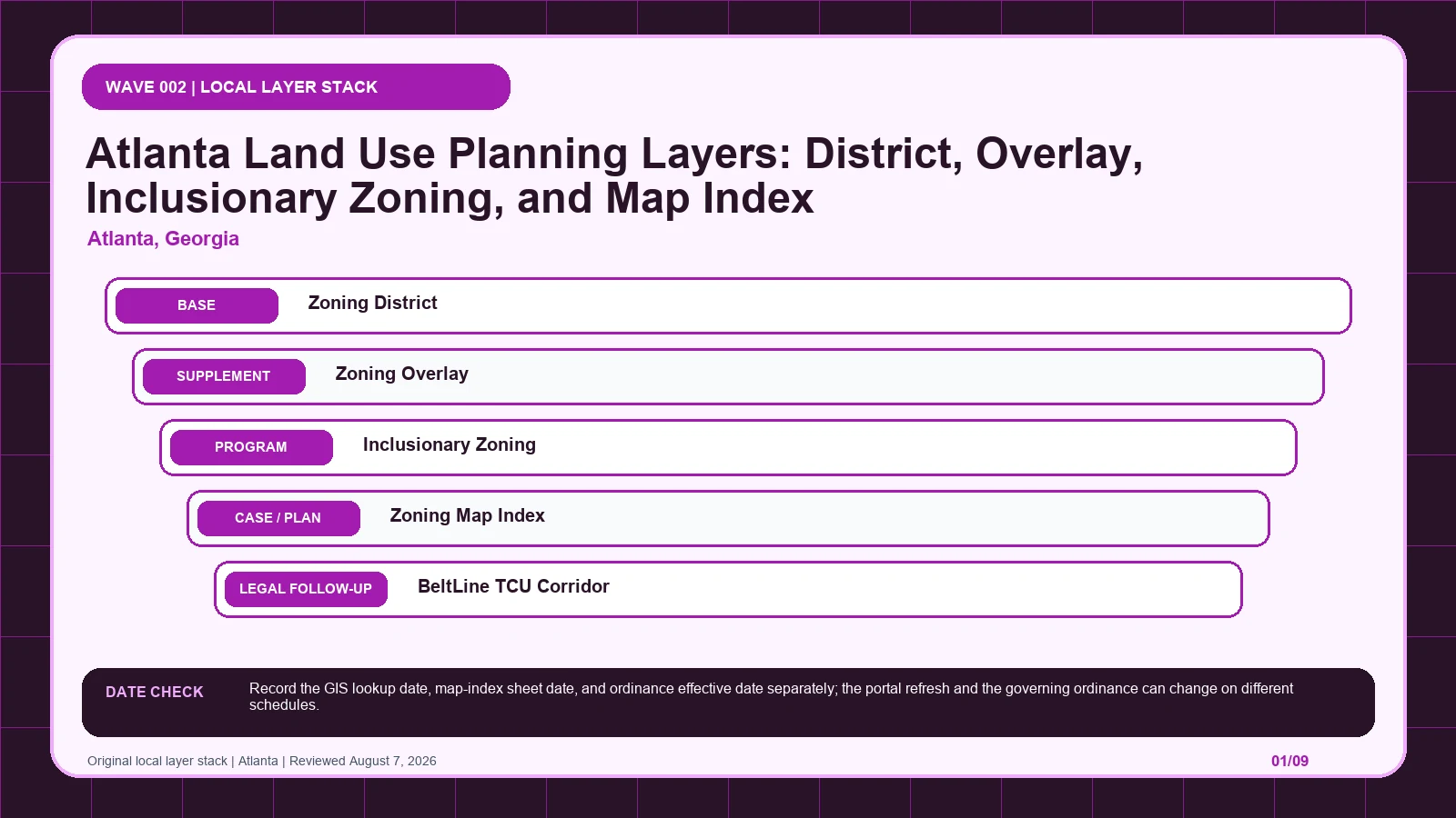
Use Atlanta’s LandUsePlanning stack to separate the base district, overlays, map sheet, and rezoning history before opening the controlling ordinance.
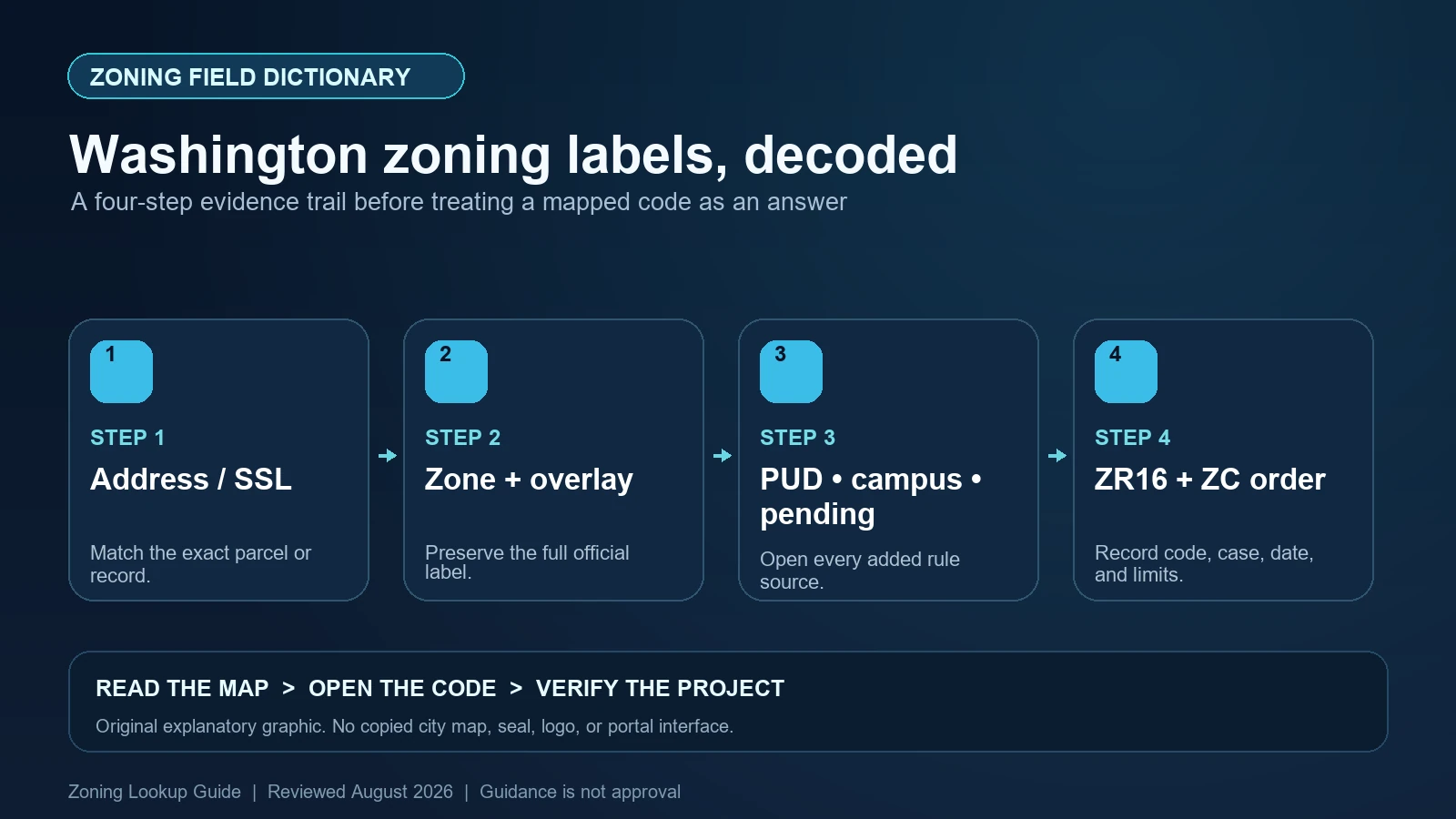
Read Washington DC’s zone and overlay notation under ZR16, preserve Square-Suffix-Lot identity, and separate active PUDs, pending zones, campus plans, and map amendments.
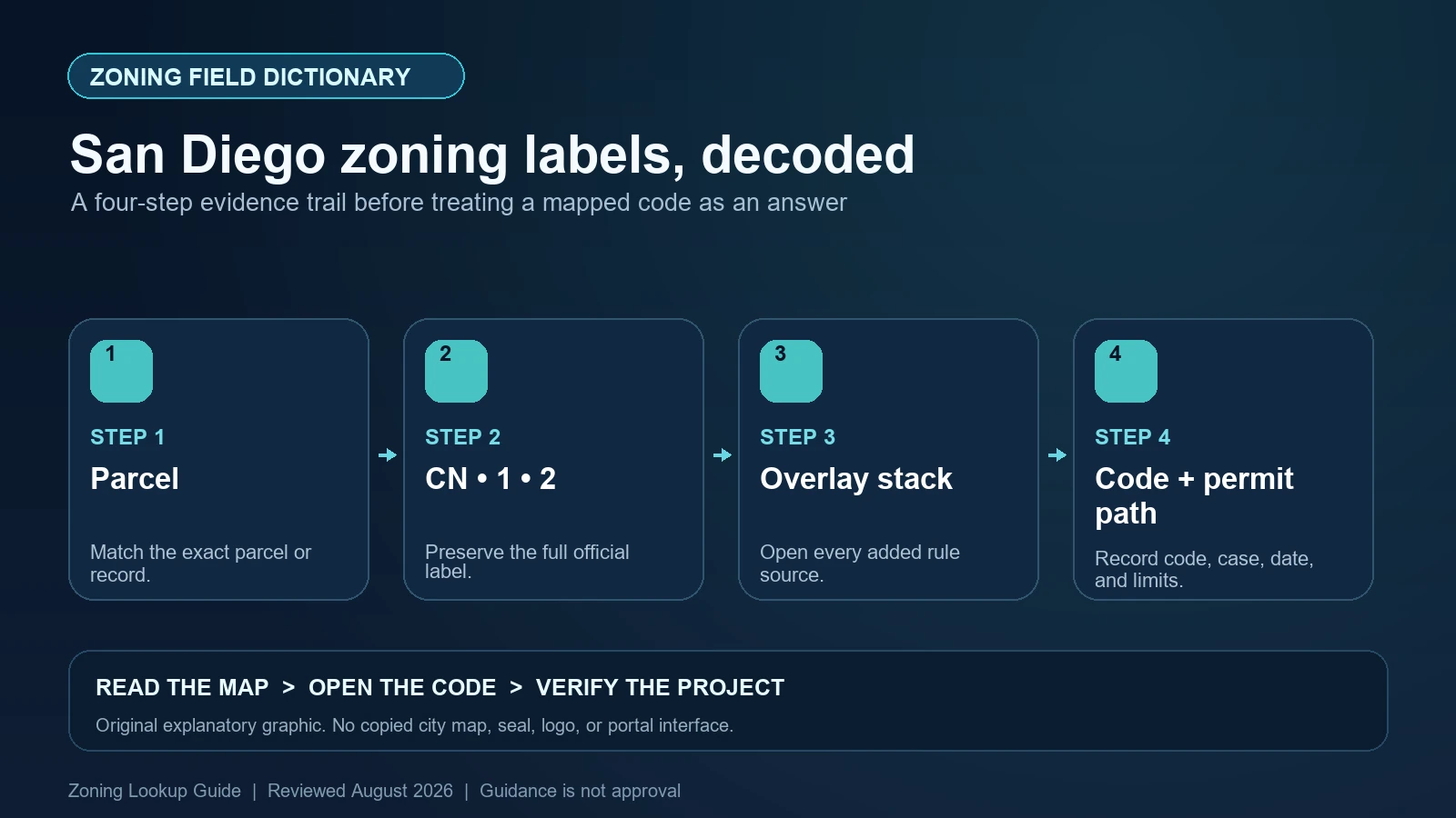
Decode San Diego base-zone designators such as CN-1-2, preserve ZONE_NAME, and check every coastal, airport, parking, transit, and community-plan overlay separately.