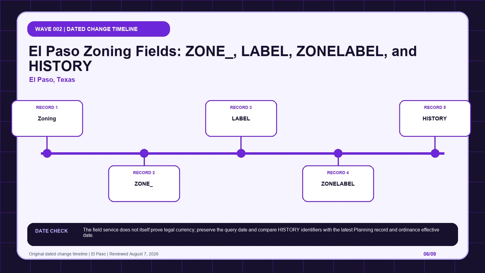
An El Paso ZONELABEL can hold a base designation, suffix, and history clue inside one compact string. Preserve ZONE_, LABEL, HISTORY, and any SC suffix separately, then trace the history identifier to the current Planning action and ordinance. It is not an approval.
Last checked: August 7, 2026.
Begin the suffix-to-history-identifier trace at El Paso Planning Zoning feature layer, which supplies base zoning field schema. Cross-check the selected geometry through El Paso Planning Division zoning, the route used for district and application guidance. Before copying Zoning (layer 0), verify gis.elpasotexas.gov city host and Planning/Zoning service; those markers keep the El Paso ZONELABEL history route tied to the intended jurisdiction and record period.
ZONE_, LABEL, and ZONELABEL are not three votes on legality
The El Paso ZONELABEL history route table keeps each returned label beside its displayed scope and the separate legal record still waiting to be opened. Its first checkpoint is Zoning (layer 0), which may appear as official layer name: Zoning; from there, Open the district regulations after confirming the selected parcel. A blank in the suffix-to-history-identifier trace stays visible so another reader can distinguish an empty official return from an unexamined field.
| Local field, layer, or record | What it does | Displayed value or scope | Next code or record check | Official page |
|---|---|---|---|---|
| Zoning (layer 0) layer | supplies the current base-zoning polygon | official layer name: Zoning | Open the district regulations after confirming the selected parcel. | Open exact record |
| ZONE_ field | stores a normalized service code | A0; AOSC; R3ASC | Do not remove suffix characters before checking special conditions. | Open exact record |
| LABEL field | stores the formatted display label | A-O; A-O SC; R-3A SC | Use the punctuation shown in the viewer when searching official records. | Open exact record |
| ZONELABEL field | stores the base zoning label | A-O; R-3A; C-1 | Compare it with LABEL to isolate an SC or other appended condition. | Open exact record |
| HISTORY field | summarizes rezoning, special-contract, and site-plan history tokens | SC: 8953 87-5237 in a sampled record | Retrieve the underlying case or ordinance; the summary string is not the decision document. | Open exact record |
| SC suffix display component | signals that the formatted label contains a special-condition element | A-O SC; R-3A SC | Read the linked special-contract or condition record along with the base district. | Open exact record |
The HISTORY value is a route to an action, not the action itself
El Paso's Zoning layer contains several representations that must be compared character by character. ZONE_ stores a normalized code such as A0, AOSC, or R3ASC. LABEL preserves formatted values such as A-O, A-O SC, or R-3A SC, while ZONELABEL can hold the base designation A-O, R-3A, or C-1. The difference between LABEL and ZONELABEL is substantive when it reveals the SC suffix. HISTORY may then summarize special-contract, rezoning, or site-plan identifiers, including a value such as SC: 8953 87-5237. That summary is a retrieval clue rather than the decision itself. The correct chain begins with the base polygon, preserves every character of the three code fields, isolates any suffix, and follows HISTORY to the underlying case or ordinance. Normalizing the display too early can erase the controlling special condition.
Decode an SC suffix only after the base designation is stable
| Returned local record | Record to compare | When to stop | Next decision |
|---|---|---|---|
| Zoning (layer 0) returns official layer name: Zoning | Compare with ZONE_, which stores a normalized service code | Stop the suffix-to-history-identifier trace if ZONE_ is missing, dated differently, or points to another record. | Continue through the El Paso ZONELABEL history route: Open the district regulations after confirming the selected parcel. Then test whether ZONE_ changes that route. |
| ZONE_ returns A0; AOSC; R3ASC | Compare with LABEL, which stores the formatted display label | Stop the suffix-to-history-identifier trace if LABEL is missing, dated differently, or points to another record. | Continue through the El Paso ZONELABEL history route: Do not remove suffix characters before checking special conditions. Then test whether LABEL changes that route. |
| LABEL returns A-O; A-O SC; R-3A SC | Compare with ZONELABEL, which stores the base zoning label | Stop the suffix-to-history-identifier trace if ZONELABEL is missing, dated differently, or points to another record. | Continue through the El Paso ZONELABEL history route: Use the punctuation shown in the viewer when searching official records. Then test whether ZONELABEL changes that route. |
| ZONELABEL returns A-O; R-3A; C-1 | Compare with HISTORY, which summarizes rezoning, special-contract, and site-plan history tokens | Stop the suffix-to-history-identifier trace if HISTORY is missing, dated differently, or points to another record. | Continue through the El Paso ZONELABEL history route: Compare it with LABEL to isolate an SC or other appended condition. Then test whether HISTORY changes that route. |
| HISTORY returns SC: 8953 87-5237 in a sampled record | Compare with SC suffix, which signals that the formatted label contains a special-condition element | Stop the suffix-to-history-identifier trace if SC suffix is missing, dated differently, or points to another record. | Continue through the El Paso ZONELABEL history route: Retrieve the underlying case or ordinance; the summary string is not the decision document. Then test whether SC suffix changes that route. |
| SC suffix returns A-O SC; R-3A SC | Compare with Zoning (layer 0), which supplies the current base-zoning polygon | Stop the suffix-to-history-identifier trace if Zoning (layer 0) is missing, dated differently, or points to another record. | Continue through the El Paso ZONELABEL history route: Read the linked special-contract or condition record along with the base district. Then test whether Zoning (layer 0) changes that route. |
Imagine a hypothetical El Paso parcel where ZONE_ returns AOSC, LABEL returns A-O SC, ZONELABEL returns A-O, and HISTORY includes SC: 8953 87-5237. The researcher records all four values exactly instead of selecting the shortest label. The difference between A-O SC and A-O identifies the special-condition path; AOSC confirms that the suffix is present in the normalized service code. The A-O district regulations are opened for the base rules, and the HISTORY identifiers are used to retrieve the underlying special-contract or condition record. HISTORY is not quoted as if it contained the full decision. The query date and the case or ordinance effective date are saved separately. This hypothetical remains unresolved until the condition document is read, because removing SC would produce a cleaner label but a materially incomplete zoning answer.
Carry the El Paso parcel from the Planning service to the ordinance record
- Open the El Paso ZONELABEL history route; fix the parcel, boundary, jurisdiction, and official key before reading thematic records.
- Start the suffix-to-history-identifier trace by copying Zoning (layer 0) exactly as returned, including official layer name: Zoning.
- Keep ZONE_ in a second El Paso ZONELABEL history route worksheet field because it stores a normalized service code.
- Test LABEL independently, then mark its value, service layer, or documented blank in the suffix-to-history-identifier trace.
- Give ZONELABEL and every later item a separate row; never compress history, plans, and overlays into the El Paso ZONELABEL history route result.
- Attach the El Paso ZONELABEL history route lookup time to Zoning (layer 0), while preserving this separate currency clue: The field service does not itself prove legal currency; preserve the query date and compare HISTORY identifiers with the latest Planning record and ordinance effective date.
- If Zoning (layer 0) and ZONE_ conflict, send the suffix-to-history-identifier trace to El Paso Planning Zoning feature layer and ask whether a compact label contains a controlling special condition.
The El Paso ZONELABEL history route worksheet is complete only when another reader can reproduce the suffix-to-history-identifier trace from the same parcel key and official pages. Keep each source's legal role and effective date apart, then record whether a compact label contains a controlling special condition as unresolved instead of selecting the most convenient output. The local currency note remains part of that audit trail: The field service does not itself prove legal currency; preserve the query date and compare HISTORY identifiers with the latest Planning record and ordinance effective date.
A field-service refresh cannot establish legal currency
El Paso, Texas date check: The field service does not itself prove legal currency; preserve the query date and compare HISTORY identifiers with the latest Planning record and ordinance effective date.
The El Paso Planning Zoning feature layer defines the base zoning schema, the Planning Division zoning page supplies district and application guidance, and the City GIS portal supplies map and parcel access. The feature service does not promise that its query date is the legal effective date of every special condition or zoning action. Preserve the service query date, the exact HISTORY tokens, and the effective date of the underlying case or ordinance retrieved from Planning. LABEL and ZONELABEL also have different scopes: one can carry the formatted condition suffix while the other records the base label. ZONE_ is useful for normalized comparison but should not be expanded by guesswork. El Paso currency is established by connecting these returned fields to the latest official action, not by assuming that a live feature endpoint makes every summarized identifier self-executing.
Repair a missing HISTORY link without guessing the outcome
| Local situation | What went wrong | What to retain | How to resolve it |
|---|---|---|---|
| Scenario 1 | A-O SC is shortened to A-O, eliminating the special-condition research path. | Preserve LABEL, the selected geometry, and both timestamps from the El Paso ZONELABEL history route check. | Use El Paso Planning Zoning feature layer to settle whether a compact label contains a controlling special condition; then Use the punctuation shown in the viewer when searching official records. |
| Scenario 2 | The HISTORY text is treated as a full decision even though it only summarizes identifiers. | Preserve ZONELABEL, the selected geometry, and both timestamps from the El Paso ZONELABEL history route check. | Use El Paso Planning Zoning feature layer to settle whether a compact label contains a controlling special condition; then Compare it with LABEL to isolate an SC or other appended condition. |
If A-O SC was shortened to A-O, restore LABEL, compare it with ZONELABEL and ZONE_, and open the record indicated by the SC suffix. If HISTORY was treated as the full decision, move the summary into a retrieval-key column and obtain the underlying case, special-contract, site-plan, or ordinance material. Preserve SC: 8953 87-5237 exactly when that is the returned token; do not reformat the identifiers before searching. A focused Planning question is: For this parcel, does the current A-O SC or R-3A SC label incorporate a still-effective special condition, and which official action is represented by the listed HISTORY identifiers? Include the parcel, ZONE_, LABEL, ZONELABEL, query date, and retrieved action date. That package lets El Paso resolve the suffix and currency issue without converting a summary string into an approval.
- Selected parcel key, geometry, and responsible jurisdiction
- Every returned value from the local field table
- Page titles, URLs, lookup times, and update clues
- Opened code, plan, case, ordinance, or metadata records
- Unresolved blanks, boundary splits, dates, and competing outputs
- Proposed activity stated in code-relevant facts
- Agency contact, narrow question, reply date, and limits
The El Paso ZONELABEL history route does not decide title, survey boundaries, private restrictions, vested rights, building-code compliance, utilities, licensing, or permit issuance. Request a written response when the suffix-to-history-identifier trace leaves competing official results or when substantial reliance is planned. A useful request to El Paso Planning Zoning feature layer identifies the parcel, quotes Zoning (layer 0) and ZONE_, gives their source dates, and asks whether a compact label contains a controlling special condition.
Planning, GIS, and Inspections supply different parts of the answer
| Official page | What to check there | Local coverage shown |
|---|---|---|
| El Paso Planning Zoning feature layer | base zoning field schema | City-owned GIS host and Planning service path |
| El Paso Planning Division zoning | district and application guidance | Official city department page |
| El Paso Planning and Inspections | planning, zoning, and official service entry | Current official City department page |
How should Zoning (layer 0) be checked in El Paso, Texas?
Open the official Zoning (layer 0) record and capture the value inside the El Paso ZONELABEL history route. That record shows how Zoning (layer 0) supplies the current base-zoning polygon; one displayed form is official layer name: Zoning. Place the copied value in the suffix-to-history-identifier trace, then follow its separate rule route: Open the district regulations after confirming the selected parcel.
How should ZONE_ be checked in El Paso, Texas?
Open the official ZONE_ record and capture the value inside the El Paso ZONELABEL history route. That record shows how ZONE_ stores a normalized service code; one displayed form is A0; AOSC; R3ASC. Place the copied value in the suffix-to-history-identifier trace, then follow its separate rule route: Do not remove suffix characters before checking special conditions.
How should LABEL be checked in El Paso, Texas?
Open the official LABEL record and capture the value inside the El Paso ZONELABEL history route. That record shows how LABEL stores the formatted display label; one displayed form is A-O; A-O SC; R-3A SC. Place the copied value in the suffix-to-history-identifier trace, then follow its separate rule route: Use the punctuation shown in the viewer when searching official records.
Use el paso zoning map by address, zoning code vs zoning map, zoning overlays special districts only where those methods clarify the suffix-to-history-identifier trace. The El Paso ZONELABEL history route evidence linked for Zoning (layer 0) and ZONE_ remains the local starting point.
Reviewed August 7, 2026. Recheck the El Paso ZONELABEL history route, its cited ordinance, and the agency procedure before relying on the saved worksheet.