NOLA Property Viewer Layers: Zoning, Overlays, Inclusionary Zoning, FLUM, and Cases
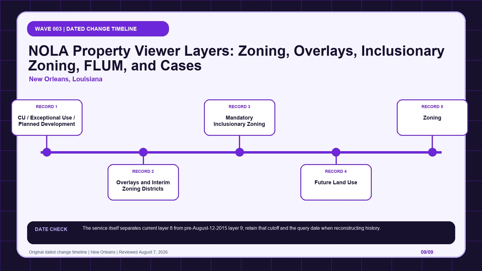
Anchor NOLA Property Viewer results to one parcel, separating current zoning, pre-2015 history, conditional actions, overlays, and Future Land Use.
 Zoning Lookup Guide
Anchor NOLA Property Viewer results to one parcel, separating current zoning, pre-2015 history, conditional actions, overlays, and Future Land Use.
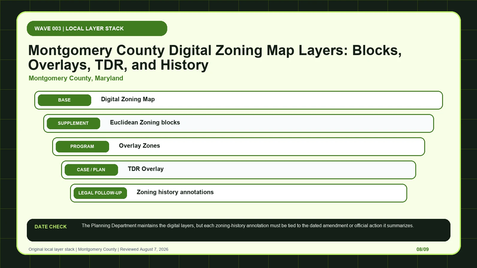
Use Montgomery Zoning Explorer to separate base blocks, overlays, TDR geography, and history annotations, then retrieve the dated map amendment.
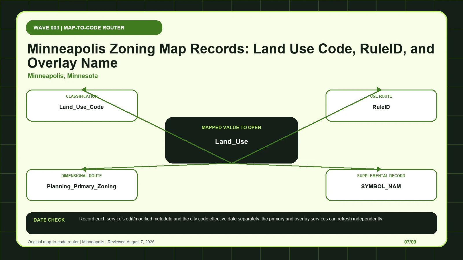
Match Minneapolis primary zoning to RuleID and Land_Use, then open the separate overlay service and compare both service dates with the city code.
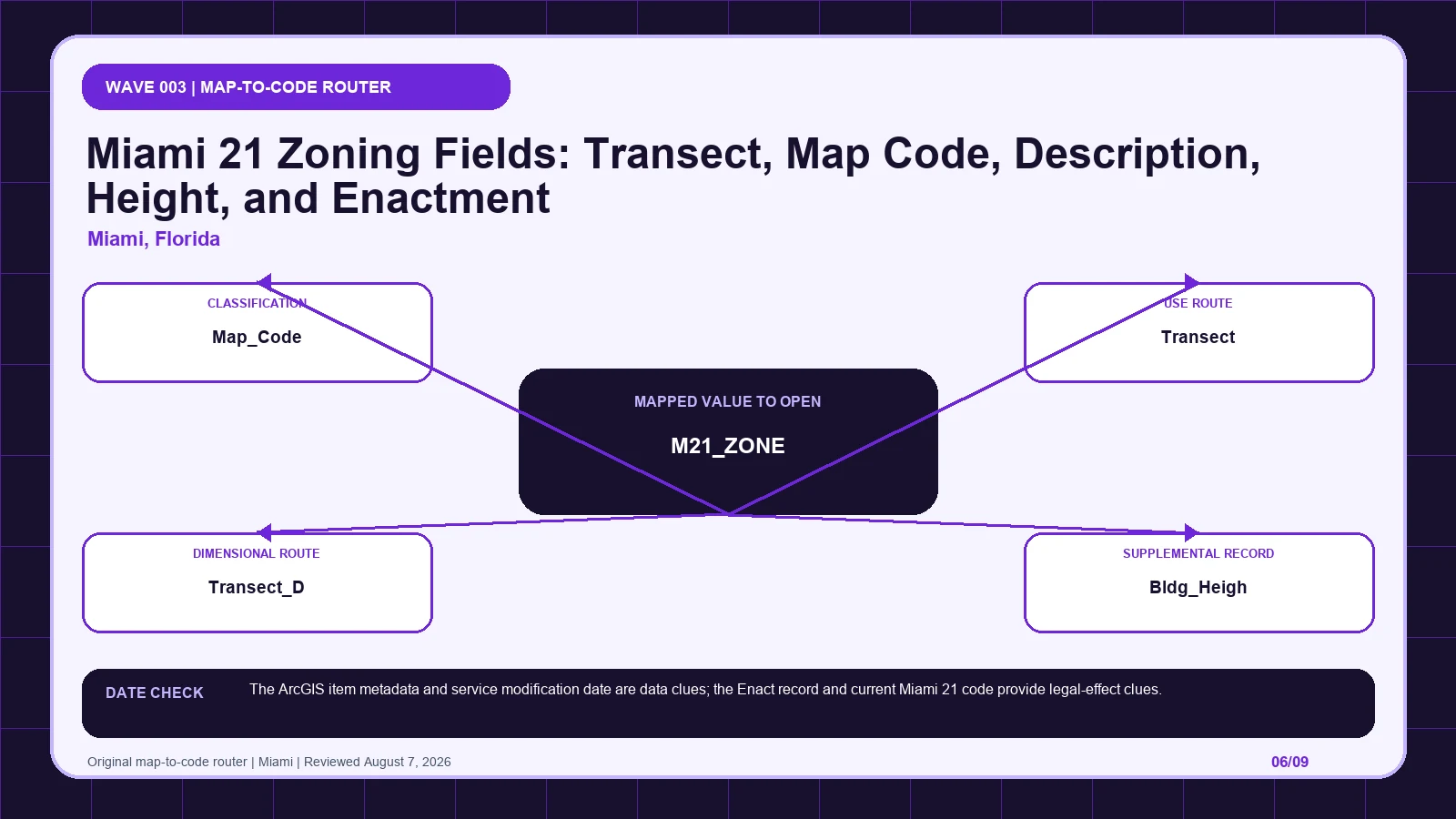
Preserve Miami 21’s zone, map code, transect, height, intensity, and enactment fields before applying a standard or escalating a blank.
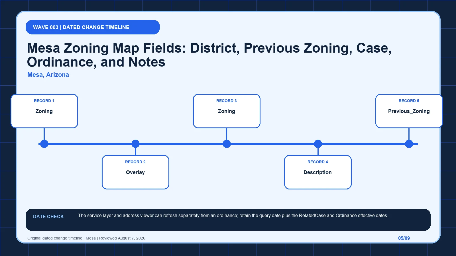
Read Mesa’s base and overlay layers together, then use Previous_Zoning, RelatedCase, Ordinance, and linked notes to verify the change trail.
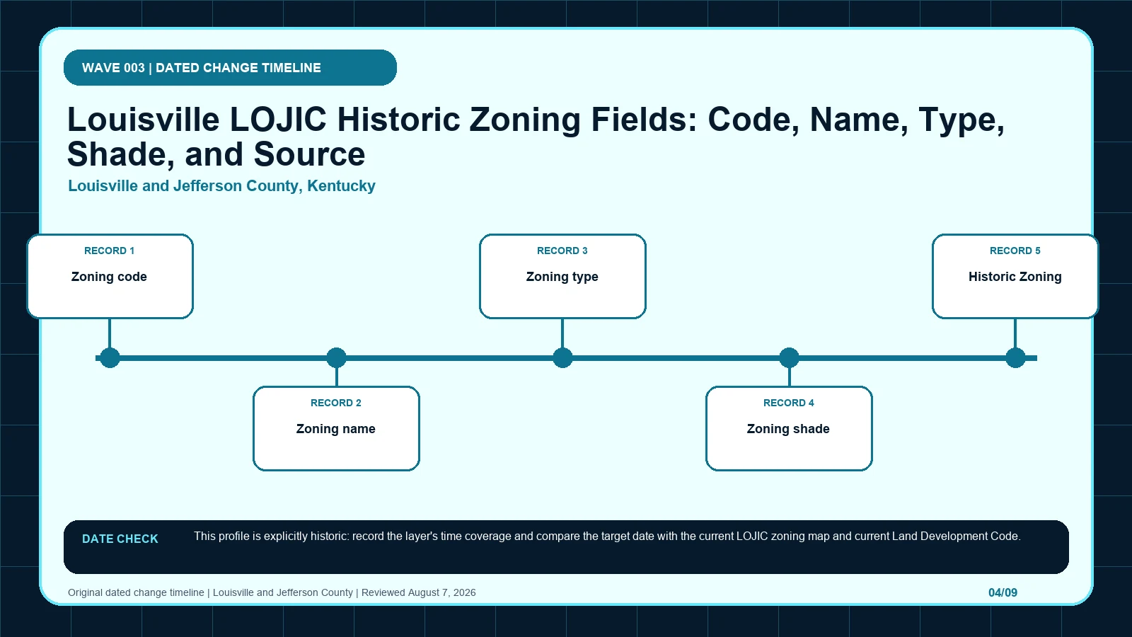
Reconstruct Louisville zoning for the target historic date in LOJIC, then compare the archived code, originator, current map, and current LDC.
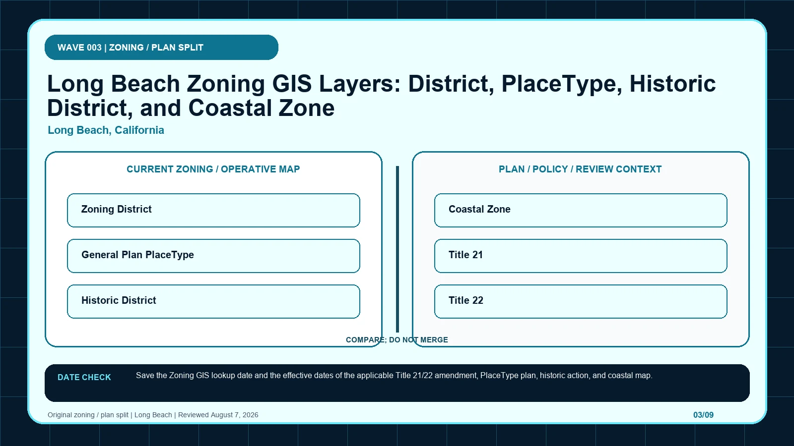
Compare Long Beach’s Zoning District with its General Plan PlaceType, historic district, and coastal zone before choosing Title 21 or Title 22.
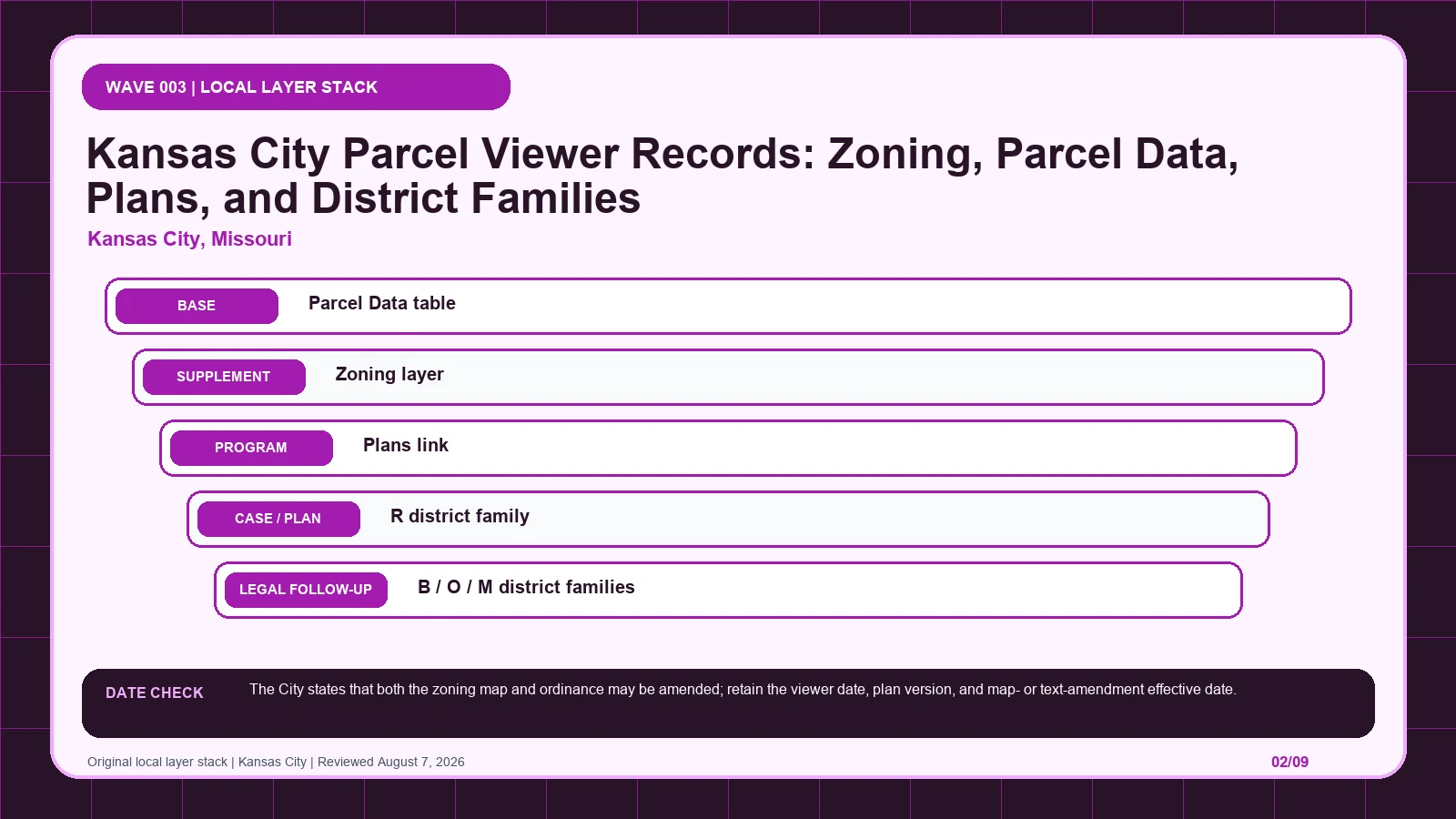
Start with Kansas City’s Parcel Data table, then follow UR or MPD results to the approved plan and distinguish map amendments from text amendments.
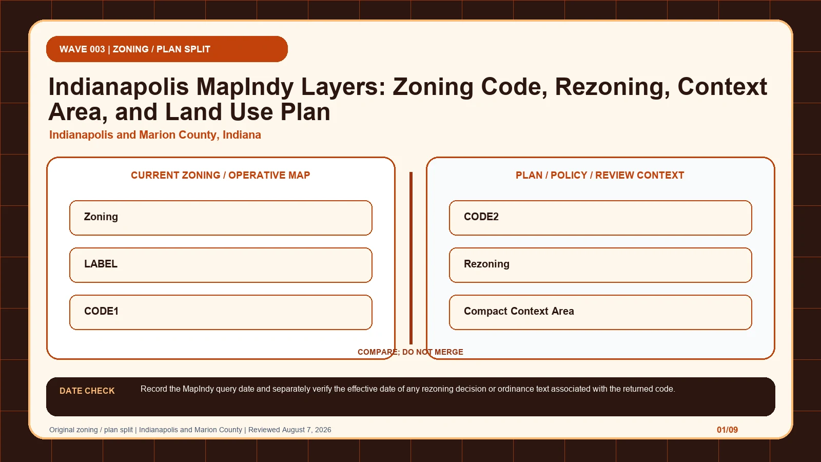
Read MapIndy zoning, rezoning, context, and land-use-plan layers separately, keeping LABEL, CODE1, and CODE2 tied to one Marion County parcel.
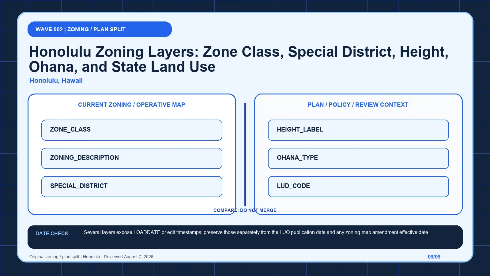
Use HoLIS to keep Honolulu’s county zone, special district, height, ohana, state land-use, and community-plan records in their proper roles.