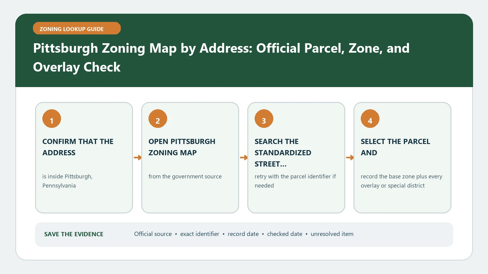
The Pittsburgh zoning map can identify a parcel’s district and mapped constraints, but a real-estate closing may require a City property certification that answers a different question. Use the current interactive zoning map to assemble the site record. Use the City zoning FAQ to decide when a certification, occupancy record, code review, or staff inquiry must follow.
Reviewed August 26, 2026 against Pittsburgh City Planning's map, zoning FAQ, certification, and occupancy-record routes.
Decide which Pittsburgh answer you actually need
| Decision | Map evidence | Additional record |
|---|---|---|
| Early feasibility | Parcel, district, overlays, environmental layers | Title Nine use and dimensional provisions |
| Existing lawful use | District and mapped context | Certificate of occupancy or zoning approval history |
| Sale or refinance | Parcel and district captured | City property certification |
| Construction affected by site conditions | Floodplain, slope, landslide or undermined layer | Required environmental or zoning review |
This scope decision belongs at the top of the file. A color on the zoning map cannot establish legal occupancy, settle a lot line, or replace the certification used for a closing. Conversely, a historic occupancy record does not tell you that a new proposal meets current district and environmental standards.
Anchor the map to the parcel, then preserve the district code
- Search the complete Pittsburgh street address and select the returned location.
- Click the parcel polygon and compare its address or parcel reference with the deed, assessment, or transaction record.
- Copy the zoning district code and full legend description without translating it into a use conclusion.
- Save the map date and visible layer list; a layer switched off cannot support a negative finding.
- Open the controlling Title Nine sections and parcel-specific records required by the decision scope.
Add the terrain and environmental screen
Pittsburgh’s physical setting makes the additional map layers operational rather than decorative. Check floodplain, steep-slope, landslide-prone, undermined, and any other environmental layer exposed for the property. Record each as observed, not as cleared. A layer overlap can trigger a separate application or technical review; a blank layer may reflect scale, visibility, or data limitations.
| Layer result | Write in the record | Next question |
|---|---|---|
| No overlap displayed | Layer on, scale, checked date | Is another official environmental source required? |
| Boundary touches parcel | Screenshot and parcel position | Does the proposed work fall inside the regulated area? |
| Parcel appears inside layer | Layer name and source | Which permit, study, or review is required? |
Keep district, use, and occupancy in different columns
The mapped district is a code lookup key. Use Pittsburgh Zoning Fields for the viewer’s district and legend vocabulary, then review the City’s Title Nine route for the proposed use and site standards. Search occupancy or zoning approvals separately when the existing lawful use matters. A property can sit in a district that permits a category while an individual conversion still fails lot area, yards, parking, or another requirement.
Recover a Pittsburgh lookup without guessing
- Address lands between parcels: zoom in, click each plausible parcel, and match the parcel identifier to a source record.
- Two districts touch the lot: document the boundary and request a parcel-specific interpretation instead of selecting one district.
- An occupancy record is absent: report that exact search result and request the relevant file; do not call the use illegal from silence.
- The map and certification disagree: compare dates and use the City-issued certification or a current staff determination for the transaction question.
- A boundary or survey dispute remains: the City FAQ says property-line disputes are not resolved by the zoning map; escalate to the appropriate survey or legal record.
Package the result for the person making the decision
For feasibility, deliver the matched parcel, district, environmental screen, code sections, and open questions. For an existing-use question, attach the occupancy or zoning-approval record. For a closing, keep the property certification and its issue date. The general aids Zoning Code vs Zoning Map and Legal Nonconforming Use Records cover the separate map/code and use-history intents. A Pittsburgh zoning map lookup is complete only when the evidence type matches the decision being made.
Pair Pittsburgh zoning with occupancy and site-condition records
Pittsburgh due diligence often fails when the map district is treated as the complete property history. For an existing building, retrieve the certificate-of-occupancy or use record and compare its described use, floor or unit scope, and date with the planned activity. A current district can support a new code analysis while the lawful occupancy question still depends on older records.
| Evidence stream | Keep | Unresolved result |
|---|---|---|
| Interactive zoning map | Parcel, district, special layer, checked date | Mapped regulation only |
| Occupancy/use history | Approved use, scope, date, record number | Missing or conflicting lawful-use evidence |
| Property certification | Applicant scope and City response | Closing-specific answer not yet issued |
| Terrain/environment | Slope, landslide, flood or other observed layer | Specialized review trigger, not a zoning conclusion |
Steep-slope, landslide-prone, floodplain, and related layers should be logged as separate observations. They may change engineering, environmental, or development review, but their presence does not prove that a parcel is buildable or unbuildable. Name the layer and move the question to the responsible standard or office.
For a closing file, keep the City’s certification response distinct from a private title report, inspection, or lender condition. Each answers a different scope. The Pittsburgh packet is complete only when the recipient can see which official record supports the district, which record supports occupancy, and which site-condition question remains open.
Example: a restaurant conversion on a sloped Pittsburgh parcel
Record the parcel district and test the restaurant use under Title Nine. Then open the existing occupancy record to see whether the building is approved for the same use, floor, and occupant scope. Add the mapped slope, landslide, or flood observation only as a trigger for the corresponding technical review. If the occupancy record describes retail, the map shows a permissive district, and a terrain layer intersects the lot, the correct result is three separate findings—not a single yes or no.
Ask City Planning which zoning or occupancy filing addresses the use change, and ask the responsible technical reviewer what site information is required for the terrain condition. Preserve each response with its parcel, project description, and date.