Tampa Zoning Map Records: District, Future Land Use, Overlays, Cases, and Parcel
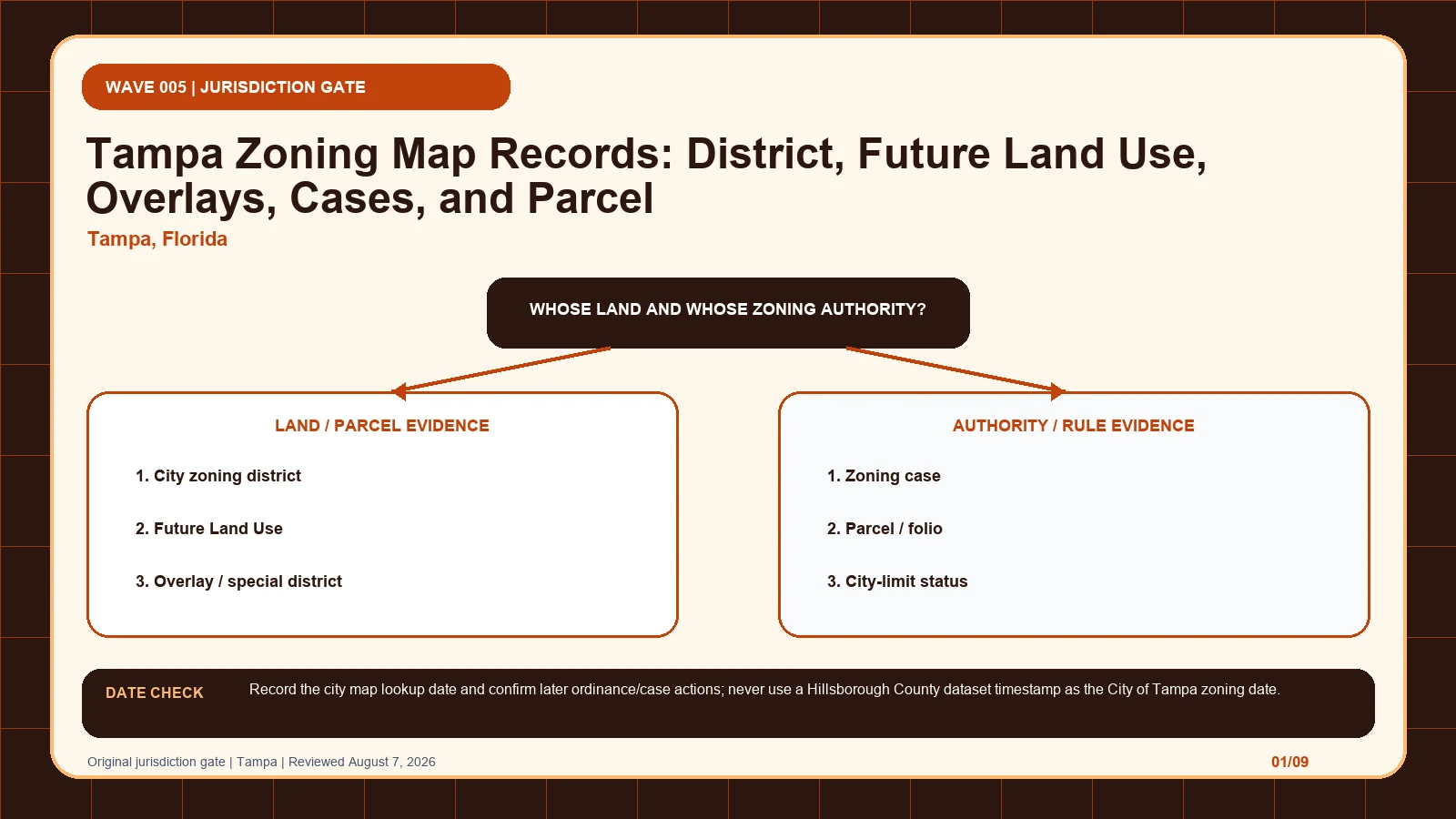
Confirm Tampa city limits from the parcel or folio before separating the city district, Future Land Use, overlays, and zoning-case history.
Confirm Tampa city limits from the parcel or folio before separating the city district, Future Land Use, overlays, and zoning-case history.
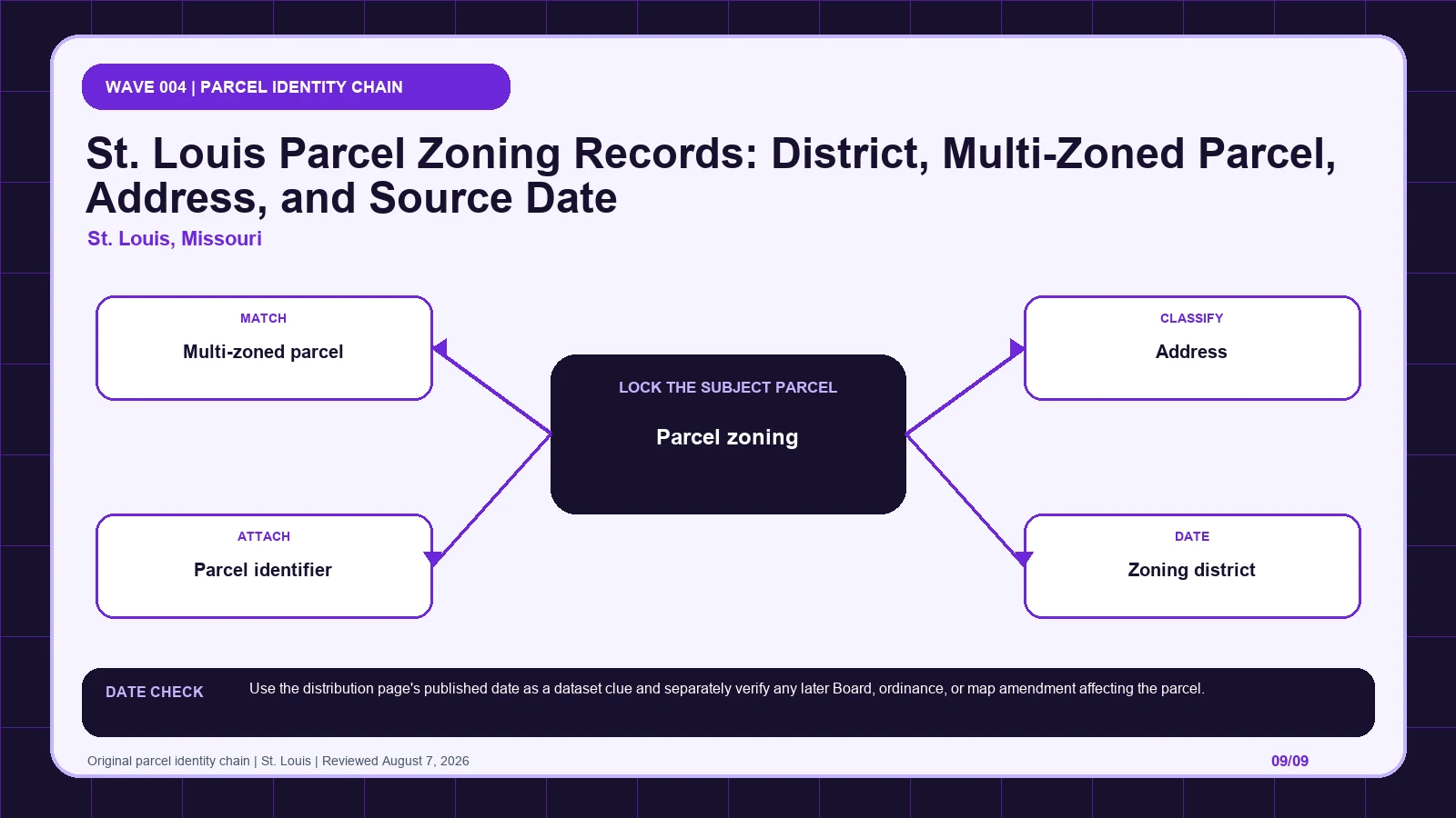
Check whether a St. Louis parcel is multi-zoned, retain every intersecting district and parcel identifier, and compare the dataset date with later actions.
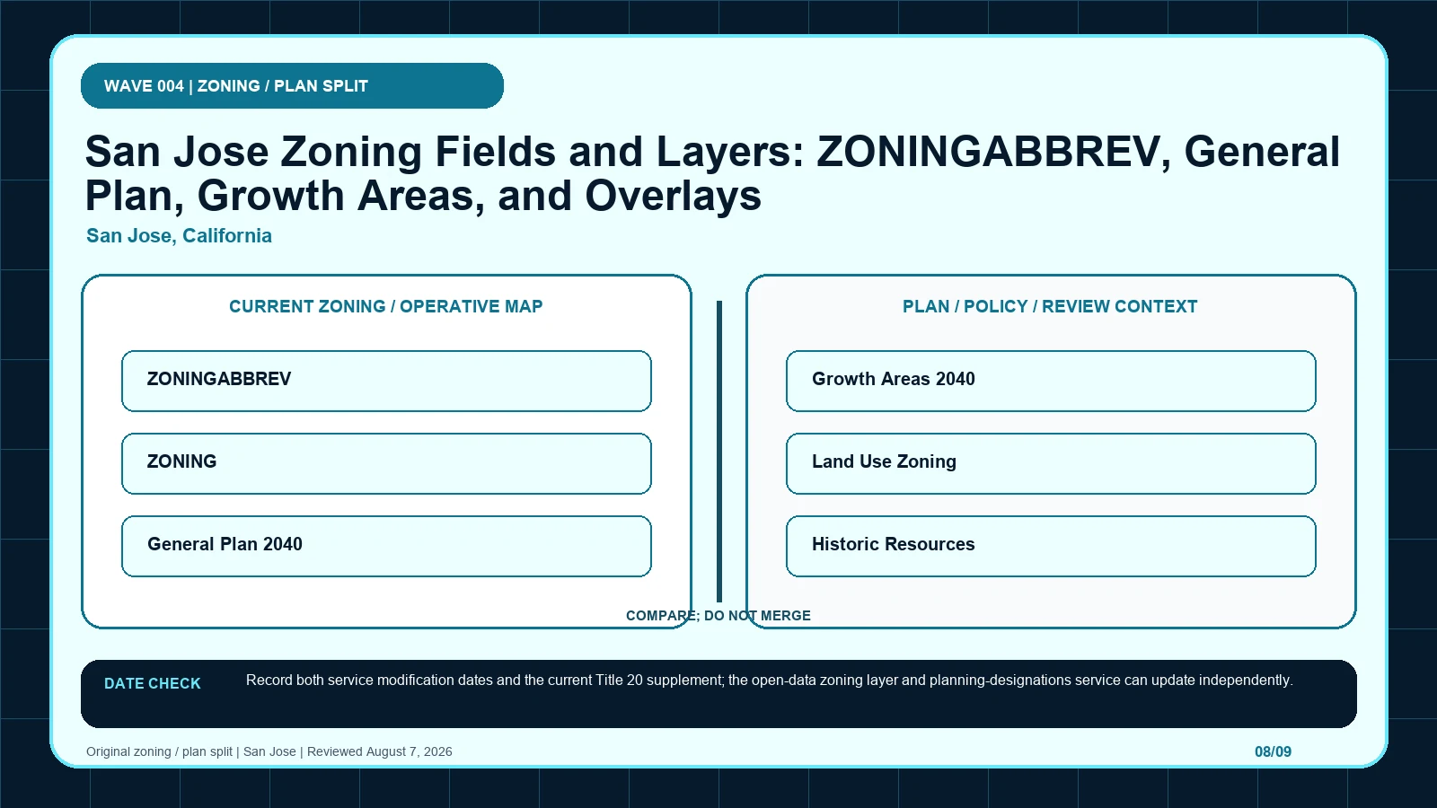
Reconcile San Jose’s base zoning service with General Plan, Growth Area, historic-resource, and planning-overlay records before using Title 20.
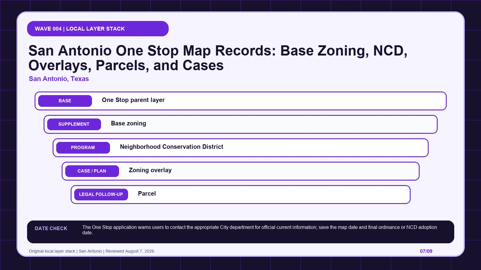
Expand San Antonio’s One Stop groups and log base zoning, NCD, overlay, parcel, and case layers separately before opening the final action.
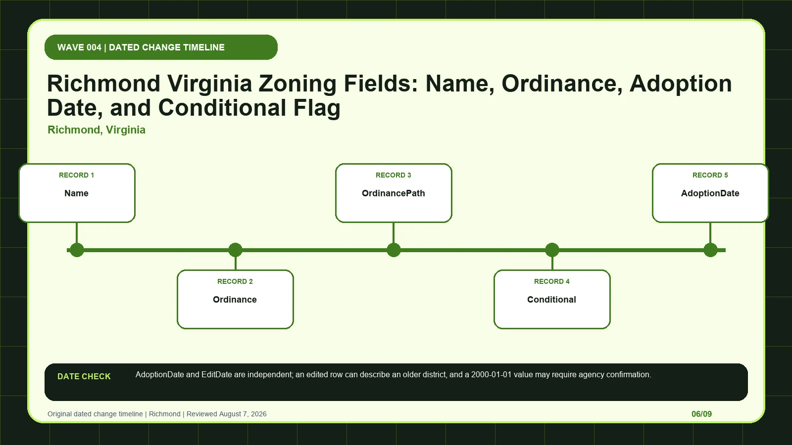
Separate Richmond’s AdoptionDate from EditDate, then retrieve the ordinance path and conditional record before accepting a migrated or default-looking date.
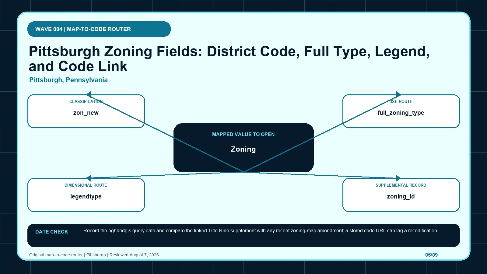
Cross-check Pittsburgh’s district abbreviation, expanded type, legend, status, and municipal-code link against the current Title Nine record.
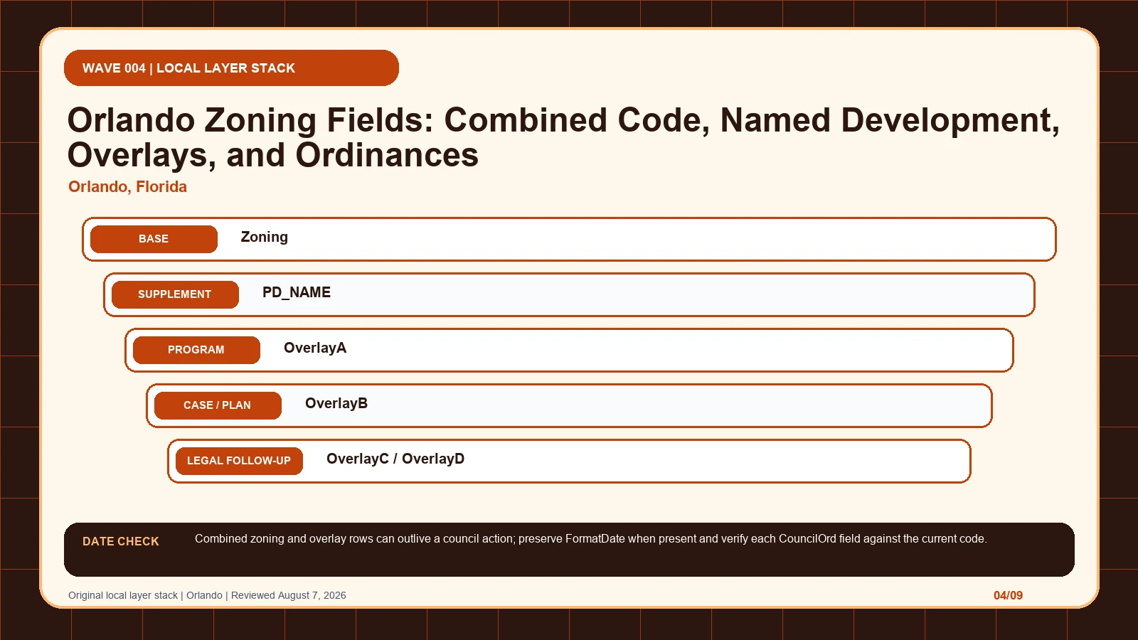
Preserve Orlando’s slash-delimited zoning, PD name, four overlay slots, council ordinances, and FormatDate before resolving any missing value.
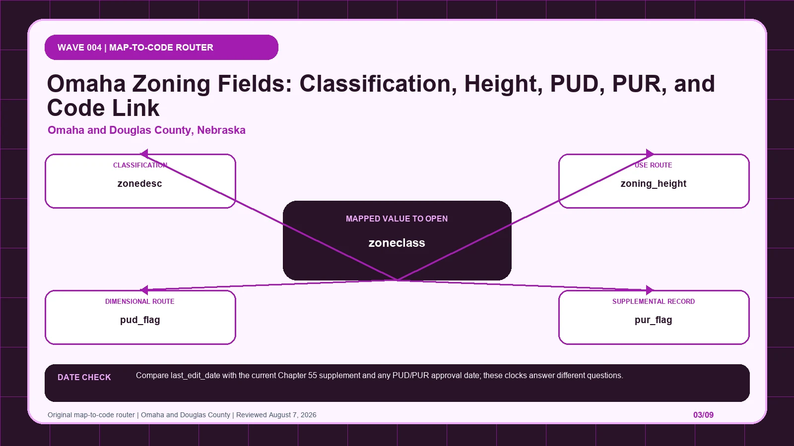
Read the Douglas-Omaha GIS row as a checklist for zone class, height, PUD, PUR, special-district flags, code link, and update date.
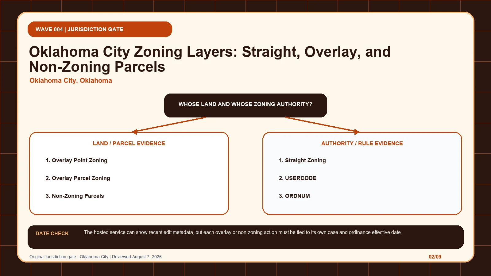
Keep Oklahoma City’s straight zoning, overlay points, overlay parcels, and non-zoning actions separate, then trace USERCODE and ORDNUM to the case.
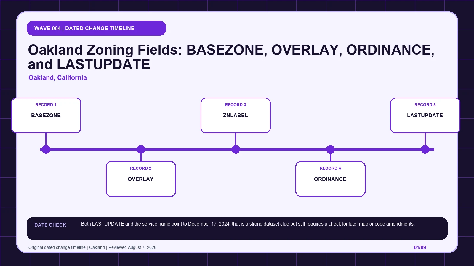
Treat Oakland’s dated base service as a snapshot, preserving BASEZONE, OVERLAY, ZNLABEL, ORDINANCE, and LASTUPDATE before checking later actions.