Philadelphia Zoning Map by Address: Atlas Parcel and Overlay Check
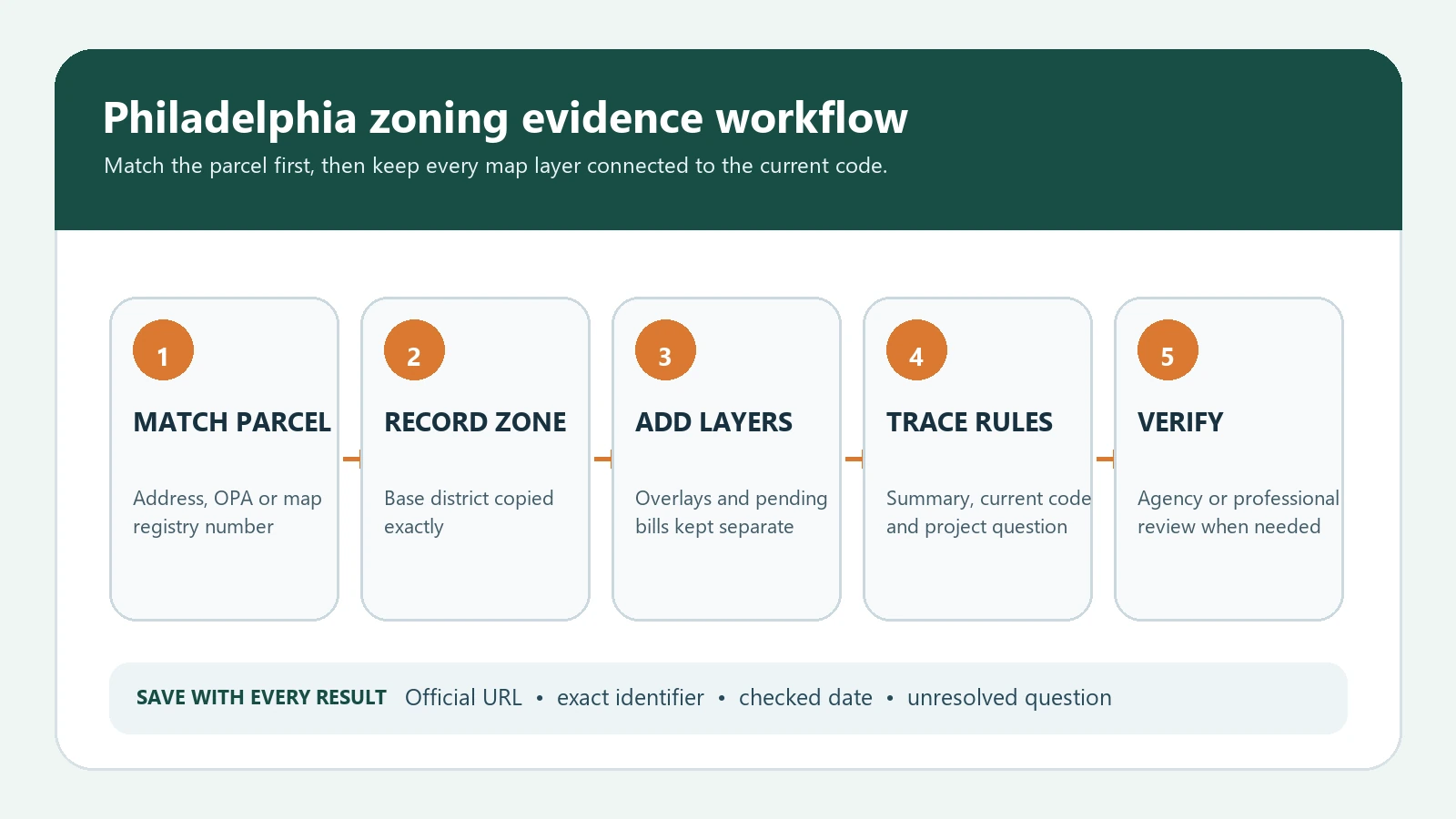
Search Philadelphia Atlas by address, match the parcel, record the base district, overlays and pending bills, then trace the result to current City zoning rules.
Search Philadelphia Atlas by address, match the parcel, record the base district, overlays and pending bills, then trace the result to current City zoning rules.
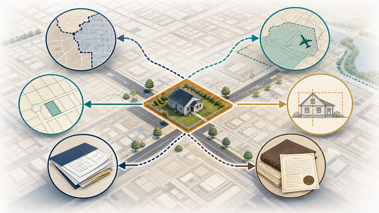
Check a Houston address for city-limit or ETJ status, Chapter 42, special land-use areas, development rules, permits, and deed restrictions.
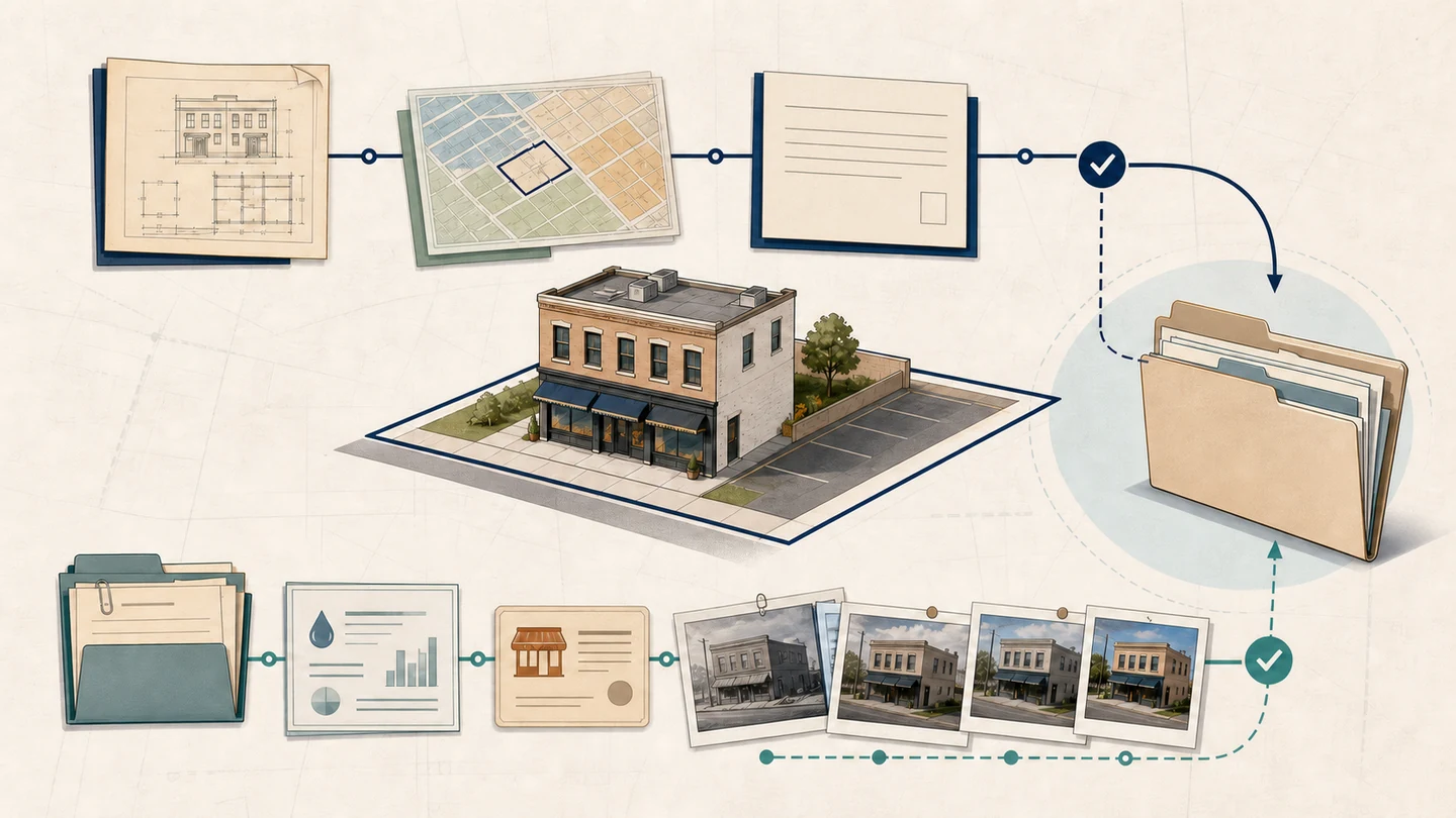
Learn which records can show a use was lawful when established and continued over time, and when to request a formal local nonconforming-use determination.
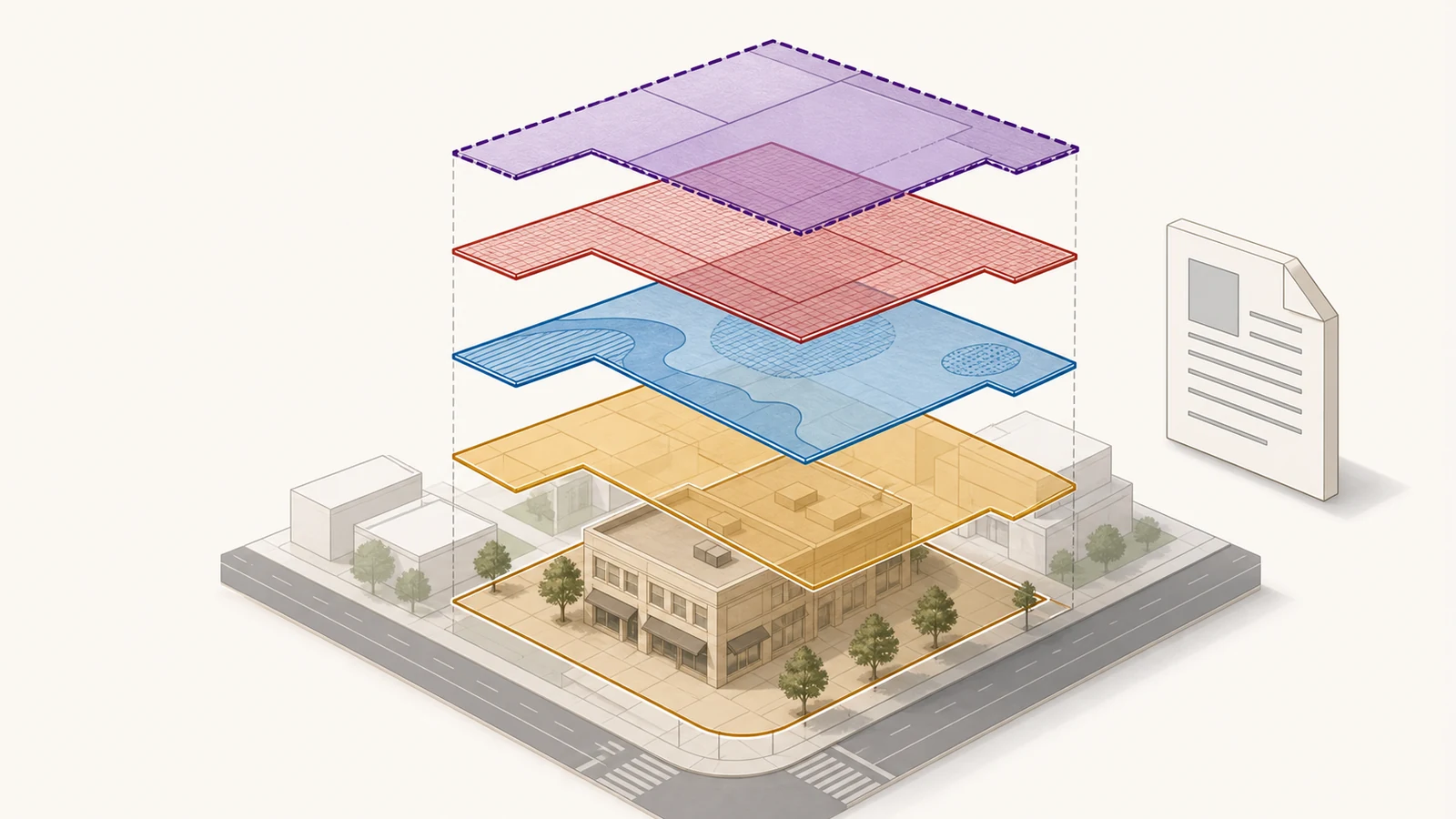
A base zoning label may not show every rule that applies. Learn how to find overlays, plan districts, special districts, and the code sections behind them.
Use LA City ZIMAS only for city parcels, confirm the APN and full zoning string, then follow the correct Chapter 1 or Chapter 1A code path.
Open Chicago’s official zoning map, search by address or 10-digit PIN, select the correct parcel, and read the district, planned development, and other layers.
Use official local planning, zoning, GIS, or council sources before relying on third-party zoning summaries.
Use the official state or territory planning map to match the parcel, identify the zone and overlays, open the planning scheme, and confirm the result with the council.
Canadian zoning lookup is usually municipal, so search the city or local planning authority map and code.
UK planning use classes should be checked through current official planning sources and local planning authority context.