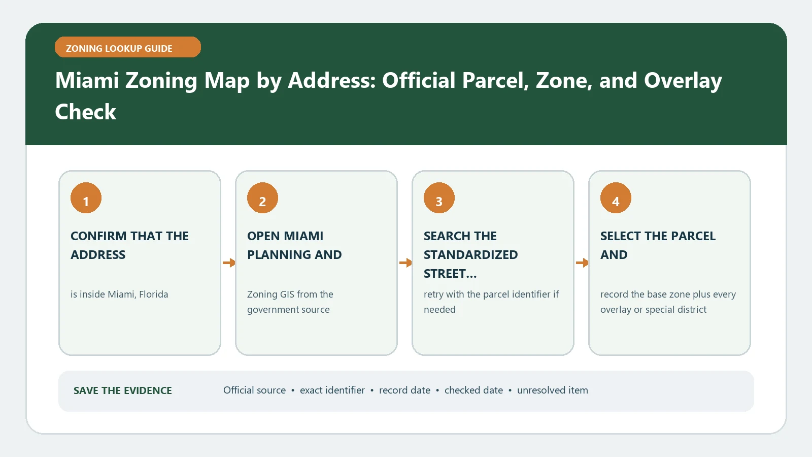
For a City of Miami zoning check, use the official property tool to match the address, record the transect zone and every area-specific designation, then open Miami 21 for the proposed function. Keep City records separate from Miami-Dade County sources. A transect code begins the review; it is not an approval of a use, building envelope, Warrant, Exception, or permit.
Reviewed August 25, 2026 using the current City property-zoning instructions and Miami 21 map service.
Verify that the address is in the City of Miami
Miami is both a city name and part of a county name, so source ownership matters. Confirm the municipal boundary and selected parcel before applying Miami 21. An address in another municipality or unincorporated Miami-Dade County needs that jurisdiction’s map and code. Save the parcel identifier and city boundary evidence with the zoning result.
Enter the address the way the City tool expects
The City instructions for finding a property zoning category provide an address format and direct the user to the zoning tab. Select the parcel, compare its outline with the intended property, and record the zone field. Then read the Areas of Specific Designation box rather than stopping at the first transect label.
- Use the complete street number, direction, street name, and street type in the City’s format.
- Check the selected parcel boundary and any available folio or property identifier.
- Copy the transect zone exactly, including suffixes and associated displayed values.
- Record special area, neighborhood, corridor, historic, setback, or design layers shown for the parcel.
- Save the map date and the URL or evidence needed to reproduce the selection.
Translate the Miami 21 fields into separate questions
| Field or layer | What to record | Next decision |
|---|---|---|
| Transect zone | Exact T, D, CI, CS or other code and suffix | Open the matching Miami 21 article and tables |
| Area-specific designation | Displayed special district or designation | Determine whether a special permit path supersedes the ordinary screen |
| Height or intensity value | Number and source field | Confirm how the code measures and applies it |
| Setback or design layer | Mapped boundary and layer name | Open the controlling standard or guideline |
| Future land use | Policy designation when shown | Keep it separate from current zoning permission |
The official Miami 21 map service identifies primary zoning and associated special-plan, area-specific, design, corridor, and setback layers. It is useful source evidence, but raw GIS fields still require the current code and any adopted site-specific action.
Test the proposed function in Miami 21
Describe the activity in the code’s terms: residential type, lodging, office, retail, industrial, civic, marine, outdoor use, parking, or another defined function. Follow the City’s instructions to the use table for the selected transect. Record whether the function is allowed by right or enters a Warrant, Exception, or other process, then read conditions, definitions, and development standards.
Use the Miami 21 field guide to preserve the map values and the special-district workflow when several layers overlap. Neither page replaces the City’s code or decision.
Check area-specific and property-specific actions
A general transect table may not be the final route for a property in a Special Area Plan, neighborhood conservation district, area of specific designation, or other mapped program. Retrieve the controlling plan, ordinance, resolution, warrant, exception, covenant, or prior approval. Confirm that the selected document is final, applies to the parcel, and has not been amended.
Do not treat a displayed height as the buildable envelope
A height or intensity field needs the Miami 21 measurement rules, frontage, lot conditions, setbacks, open-space requirements, parking, transitions, and any special-area standard. Record the displayed value, then identify the article and diagram that define how it is used. A three-dimensional viewer or summary can illustrate capacity, but it is not a substitute for a surveyed site and code analysis.
If the proposal involves an existing building, retrieve certificates, permits, covenants, and prior zoning actions. Note the approved use and area, not just the address. An earlier Warrant or Exception may contain conditions or may apply to a different operator, phase, or physical plan.
For a multi-parcel or phased site, create a row for every folio and show where the proposed function, parking, access, open space, and construction fall. A transect or special designation found on one parcel should not be extended across the project boundary without map evidence. If parcels will be joined, ask which approvals and effective map control the combined review.
When the zoning layer looks missing or stale
Retry the official search using alternate street formatting and direct map selection. Confirm City jurisdiction and the parcel identifier. If the map service, property tool, and a recorded decision differ, keep each result with its date. Do not treat a pending amendment as current zoning. Ask the City which atlas, code edition, and property action control on the intended application date.
- Provide the address, parcel or folio, transect, special designations, and a dated map capture.
- State the proposed function, floor area, building work, parking, and operating facts.
- Cite the Miami 21 table and property document that created the question.
- Ask whether the next step is administrative, a Warrant, an Exception, another review, or a formal determination.
Close the lookup with one answerable City question
Store the map selection, all layer values, code provisions, property decisions, and staff response together. Recheck them before a purchase, lease, license, or permit submission because zoning maps and adopted text can change. A City map result is not a final legal determination, development-capacity study, or approval, and it cannot resolve private covenants, title limits, or non-zoning regulations.
Record the exact proposal that staff considered. A response about a small office does not automatically answer a restaurant, lodging use, outdoor operation, added floor area, or a different building configuration. Reopen the inquiry when the facts that drive the Miami 21 classification change.
Keep the final inquiry, attachments, and reply under the same parcel or folio identifier. A future reviewer should be able to see which map layers and code sections staff received, not only the short answer copied into a transaction file.