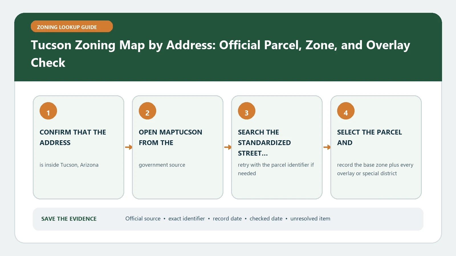
Use MapTucson to identify the exact City parcel and its zoning layers, then read the City of Tucson Unified Development Code for the proposed use and site. Search by address or assessor parcel number, preserve the selected geometry and full zone value, and keep overlays and case records separate. A MapTucson result does not replace a Zoning Administrator determination or project review.
Reviewed August 25, 2026 using the current City of Tucson Research Tools and Zoning Code pages.
Make sure the parcel is governed by the City of Tucson
Tucson and Pima County share addresses, services, and regional data, but their land-use authorities are not interchangeable. Start with the parcel boundary and municipal context shown by the official tool. If the property lies outside City limits, stop before using the Tucson UDC and find the county or municipal source that controls the parcel. Keep the assessor parcel number because it survives address-format differences better than a typed street string.
Set MapTucson layers before selecting the property
The City Research Tools page says MapTucson can be searched by address, parcel, street intersection, neighborhood, school, and subdivision and can display zoning districts among other records. Turn on the zoning and relevant planning layers first, then select the parcel polygon. A point returned from the search box is not enough if it lands in the street or on a neighboring lot.
- Record the address exactly as MapTucson normalizes it and copy the assessor parcel number.
- Confirm the selected polygon against the lot shape, subdivision, and any available survey or assessor sketch.
- Copy the complete zoning designation and every displayed overlay or special-area value.
- Note current development activity, case identifiers, or linked records without treating a pending case as effective zoning.
- Save the layer names, lookup date, and view scale so the result can be reproduced.
Build a Tucson field sheet instead of copying one map label
| Field | Useful evidence | Question for the next source |
|---|---|---|
| Parcel identity | Assessor parcel number, address, boundary, jurisdiction | Is this the same legal lot used by the project |
| Base zoning | Full City zone code | Which UDC use and dimensional tables apply |
| Overlay or special area | Exact layer name and boundary | Does a separate regulation or design review control |
| Development activity | Case or permit number and status | Is it pending, approved, expired, withdrawn, or unrelated |
| Property Research Online | Address or parcel-linked development record | What was reviewed, issued, or closed for this site |
If the address search is uncertain, follow the parcel-number lookup method and compare the same parcel key across MapTucson and Property Research Online. Do not merge a map layer, permit status, and assessor description into a single conclusion.
Use the right part of Tucson’s three-document code system
The City Zoning Code page identifies the Unified Development Code as the zoning code, the UDC Administrative Manual as the application and review route, and the Technical Standards Manual as the source for relevant engineering and site standards. Begin with the definition and use table for the mapped zone. Then follow cross-references for dimensions, parking, access, landscaping, historic resources, or other project facts.
Keep the document roles visible in your notes. The UDC may classify the activity and set land-use standards. The Administrative Manual may govern what must be filed and who decides. Technical standards may control site details. The map and code comparison shows why no single source can answer all three jobs.
Overlay regulations and determinations can change the route
The City page lists urban overlay district regulations separately and explains that the Zoning Administrator issues interpretations and determinations when the UDC text or a land-use classification needs an official decision. Record the exact overlay name, adopted regulation, and property boundary. For an unusual business or mixed activity, ask which defined land use applies before assuming the nearest familiar term.
A variance, special exception, rezoning, or prior approval must be tied to the same parcel and final action. A staff report or application is not the same as an adopted decision. If an existing building or use matters, retrieve the permit, certificate, or case record that states what was approved and under which conditions.
For a split-zone or multi-parcel site, draw the proposed work on the parcel image and create a field row for each zone. Show where access, parking, structures, and outdoor activity cross a boundary. Ask whether review follows each parcel separately, requires a lot combination, or needs a formal interpretation. This is more useful than sending staff a screenshot with no project footprint.
When MapTucson returns no result or the layers disagree
Try the assessor parcel number, a shortened street form, an intersection, subdivision, and direct map selection. Check whether the property is newly divided, annexed, or outside City limits. If MapTucson, Property Research Online, and an adopted case display different information, preserve every result and effective date. Ask which parcel geometry, map edition, and decision control on the intended application date.
- Describe the identity mismatch instead of asking only what the zoning is.
- Attach the selected parcel, zone, overlay values, and any conflicting case number.
- State the proposed use, building work, operating facts, and filing date.
- Ask whether an interpretation, determination, pre-application review, or ordinary permit path is appropriate.
Keep the City’s decision boundary clear
MapTucson routes research; Planning and Development Services applies the current code and procedures to a stated proposal. A private guide cannot classify an unusual use, authenticate a disputed boundary, or approve construction. Save staff correspondence with the parcel and facts they reviewed, and reopen the question when the use, floor area, parking, access, structure, or operating plan changes.
Recheck the official map, UDC materials, overlays, and property records before a transaction or submission. A dated parcel file is useful evidence, but it does not establish current compliance, title status, or the outcome of a future application.
Keep the final file under the assessor parcel number, with the address as a searchable alias. That simple choice prevents a later owner, designer, or reviewer from losing the zoning evidence when the street format changes or several project addresses are assigned to one parcel.