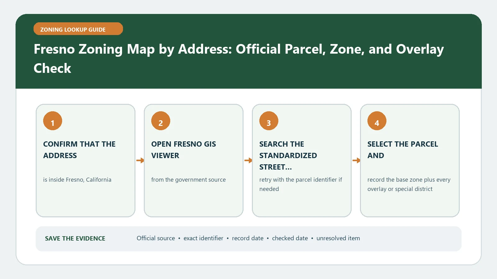
A Fresno zoning lookup should begin with city status and the assessor parcel number, not the mailing address alone. In the official GIS, record the selected parcel, ZONING_STRING, overlays, existing land use, community plan, and City or County status as separate fields. Then read the current Development Code and identify whether a project-specific Zone Clearance or other review is required.
Checked August 25, 2026 against the City of Fresno GIS and zoning pages.
Find out whether the parcel is inside Fresno city limits
A Fresno postal address may be within the City, in unincorporated Fresno County, or in an area affected by annexation or sphere-of-influence planning. The City GIS and Mapping page distinguishes the adopted zoning map from general-plan and other planning maps. Confirm the municipal boundary and city-status field before applying a City zoning code to the parcel.
If the viewer identifies County authority, stop the City workflow and locate the County’s official map and ordinance. A community-plan label or sphere-of-influence boundary does not by itself transfer zoning jurisdiction.
Keep assessor, planning, and permit records in their own roles
The assessor identifies the tax parcel and may describe improvements. Planning maps show regulatory and policy layers. Permit systems document applications, issued permits, inspections, or certificates. These records can share an address while answering different questions. Use the APN to connect them, but preserve the agency, date, record number, and scope so an old permit description does not replace the current zoning rule.
When the existing building or business matters, search its permit and approval history separately. Record what was approved, the plan or suite covered, final inspection status, and any condition. Physical occupancy, assessed use, or a business listing is not a City determination that the use remains lawful after expansion or a change of operator.
Use the APN to keep the map on the intended property
- Search the complete address, choose the candidate result, and inspect the highlighted polygon.
- Record the APN and compare the parcel shape with available assessor or deed information.
- Check for multiple parcels, split zoning, a recently created lot, or a pin placed on adjoining land.
- Save the City status, zoning string, overlay values, land-use fields, community plan, and lookup date.
The Fresno parcel-field guide explains how to keep common GIS values in separate columns. Use the official viewer and code for the actual record.
Do not merge zoning, land use, and community-plan fields
| GIS value | What to preserve | What it cannot decide alone |
|---|---|---|
| City status | Inside City, County, or other boundary context | Which code applies after a recent boundary change |
| ZONING_STRING | Base and overlay designation for the selected parcel | Whether the proposed use meets every standard |
| Existing land use | How the property is categorized or observed in the dataset | That the current use is legally established |
| General-plan land use | Long-range policy designation | The present zoning permission |
| Community or specific plan | Area plan associated with the property | Which provisions alter the project without opening the plan |
This separation is especially important before buying property. The land-use map check shows why a future policy designation and a current zoning district answer different questions.
Screen the overlays and operative plans before measuring
After identifying the base district, list every overlay, specific plan, community plan, airport influence area, flood layer, historic resource, and other mapped control associated with the parcel. Open the actual adopted text and boundary. Some layers change procedure, design, or allowed intensity rather than the use table itself. Do not transfer a map legend description into a project conclusion.
Measure the proposed height, setbacks, lot coverage, parking, access, and outdoor activity only after the applicable plan and code sections are known. A parcel may satisfy a base-zone number while needing a different review because of an overlay or operative plan. Mark any uncertain boundary on a site sketch for Planning.
Read the Development Code for the proposed activity
Describe the project in facts the code can classify: residential type and unit count, commercial function, floor area, outdoor operations, customers, employees, hours, height, setbacks, parking, signs, or physical expansion. Find the zoning district chapter, use table, definitions, and development standards. Follow references to overlay, airport, flood, plan-area, design, and environmental provisions when applicable.
The City of Fresno zoning page links the interactive map and explains that Zone Clearance verifies a new or expanded use or structure against applicable code, General Plan, and operative plan requirements. A map hit is not that clearance and does not guarantee that an application is complete or approvable.
If the parcel or zoning value is missing
Retry with the APN, remove unit information, zoom to the parcel, and verify city limits. If the address is new, the parcel was recently split, or annexation is involved, keep the assessor and municipal records side by side. A blank ZONING_STRING should be treated as unresolved evidence, not as unzoned property. Ask which adopted map and effective date control.
- Capture the selected parcel and APN rather than a neighborhood-scale screenshot.
- Record every displayed zoning and plan field without rewriting the labels.
- Open the official zoning map or code page linked by the City.
- Give Planning the exact conflict, proposed use, and filing timeframe.
Prepare a parcel file for the Zone Clearance decision
Keep the address, APN, City status, zoning string, overlays, land-use and plan fields, code sections, prior approvals, and unresolved issues in one dated file. Add a site sketch when the lot is split or the work affects only part of it. Recheck the map before submission because datasets and ordinances may change. This research does not prove legal use, code compliance, entitlement, or final permit approval.
Name the source that supplied every field. A zoning string copied from the City viewer, an APN from the assessor, and a use description from a permit should not be presented as one City-issued conclusion. Source labels make later updates faster and expose conflicts that need Planning review.
For a leased space, include the suite and floor because one street address can contain uses with different occupancy and approval histories.