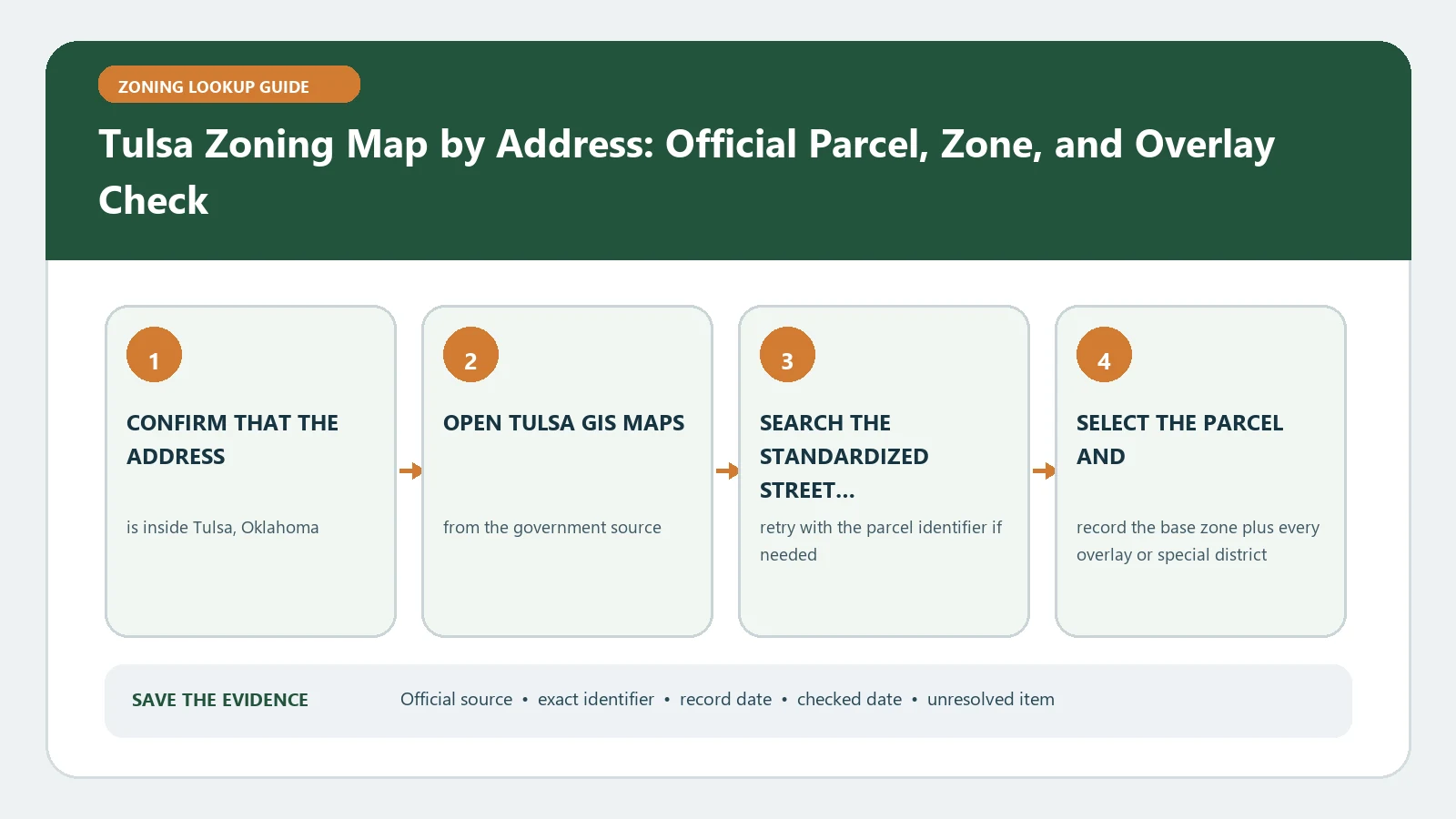
Find a Tulsa property in the official municipal zoning map, verify that the parcel is inside City limits, and pair the mapped district with the current City of Tulsa Zoning Code. Preserve the parcel, base zone, overlays, PUD or case references, and map date. If the site is in Tulsa County outside the City, use the county code and map instead.
Checked August 25, 2026 against the Tulsa Planning Office property, plans, and FAQ routes.
Separate City of Tulsa zoning from Tulsa County zoning
A Tulsa mailing address does not by itself choose the land-use authority. Begin at the Tulsa Planning Office property-information page, which routes users to assessor, zoning, land-use, small-area-plan, and related maps. Record the municipality or county, parcel number, and selected boundary. When the property is outside City limits, stop applying the municipal zoning code and switch to the code maintained for that jurisdiction.
This boundary check also prevents a map ownership error. The Tulsa Planning Office supports planning work for more than one government context, while the City zoning code states its own applicability. Store the source owner next to every copied field.
Select the parcel before trusting the zoning color
- Search the full situs address, then compare the selected lot with the assessor parcel and legal-description clues.
- Repeat the search by parcel number when a road centerline, campus, or adjacent tract is selected.
- Copy the full base district, overlay, planned-unit, corridor, or special-area notation shown.
- Record any case number, ordinance reference, or map link associated with the parcel.
- Save the access date and mark where the proposed building, parking, access, and outdoor activity will occur.
A project crossing several parcels needs one line per parcel. Do not extend the most favorable district across a parking lot or structure without a matching boundary. The parcel-number zoning workflow helps keep the assessor, map, and case records tied to the same land.
Pair the GIS layer with the current Tulsa code edition
The Tulsa Planning Office plans library links the City zoning map, current zoning code, interpretations, overlays, form-based standards, and former code. It also displays the amendment date for the current code. Record that date and follow the district to its use table, lot and building standards, supplemental use rules, parking, signs, landscaping, and procedures that match the actual proposal.
| Tulsa record | What it answers | What it does not answer alone |
|---|---|---|
| Official zoning GIS | District and mapped boundary for the selected parcel | Whether the planned activity satisfies every rule |
| Current zoning code | Use, dimensional, performance, and procedural standards | Which parcel or case applies without map evidence |
| PUD or special-area record | Site-specific plan, conditions, or modified standards | Whether a later amendment superseded it |
| Board of Adjustment record | Variance, special exception, or appeal action | Whether the decision covers this proposal and remains usable |
| Permit or certificate | A defined approved construction or occupancy scope | Current zoning for unrelated future work |
Retrieve PUD, corridor, overlay, and case documents
A PUD, corridor designation, neighborhood character overlay, form-based area, or other special notation is a pointer to more records. Obtain the adopted ordinance, plan, exhibits, amendments, and conditions. Distinguish a pending request from a final action. If the map and an older approval use different terminology, preserve both and ask which current code section governs the property-specific decision.
Use the special-district layer guide to keep supplemental rules separate from the base district. A future land-use plan or small-area recommendation may inform policy without changing the zoning currently in force.
Do not use an old business as proof of today’s permission
Assessor descriptions, signs, listings, and long operation histories can identify a site, but they do not establish the approved use. Retrieve certificates, permits, code cases, and final zoning actions when the existing condition matters. The legal nonconforming use records guide explains what evidence to seek when an older use may predate a rule or continue under a limited status.
For a new tenant, write the new operation: customers, employees, hours, deliveries, outdoor activity, equipment, signs, parking demand, floor area, and construction. A response about the former tenant does not automatically cover changed facts.
Map and code dates should travel together. Save the GIS access date, the code amendment date displayed by the official library, and the adoption or effective date of every property action. If a decision depends on a future filing, ask which edition will govern when the City accepts the application. A code amendment under discussion may explain risk, but it should remain separate from the rules effective during the current lookup.
Dimensional questions also require parcel facts. Record lot area, frontage, existing and proposed setbacks, building height, floor area, parking, access, and any structure crossing a parcel line. The district table can supply standards, but staff may need a survey or site plan to decide how they are measured on an irregular lot.
Recover from an address mismatch or a county parcel
Retry with the parcel number, shortened street form, direct map selection, and assessor legal description. Check annexation, lot splits, combinations, and newly assigned addresses. If municipal and county sources disagree, save the boundary evidence and effective dates and ask which government controls. Do not apply both codes selectively.
Choose between a map note and a verification letter
The Tulsa Planning Office FAQ explains that map research should be followed by the code and describes a zoning verification letter as confirmation of a limited set of property information, including prior Board of Adjustment action and applicable special records. Use ordinary map research for early screening. When a lender, buyer, designer, or formal file requires written confirmation, ask whether that letter or another determination fits the reliance needed.
Send the parcel number, address, jurisdiction, map capture, district, special fields, case records, proposal facts, and one bounded question. Archive the response with its scope. Recheck the live map and code before closing, leasing, designing, or filing because zoning and property actions can change.
If staff identifies another office as the decision owner, record that transfer and the question that moved with it. A clear handoff is part of the evidence, especially when planning, development services, and the Board of Adjustment own different steps.